Lillypad Pond campsite
Campground
Campground · 3.5 mi from the trail
Ridge Trail is a 1.9-mile hike in the Giant Mountain Wilderness of New York, managed by the State Department of Conservation. It rises from about 1,600 feet to nearly 3,850 feet, with a total elevation gain of 1,976 feet and a drop of 2,200 feet over the course of the route. The climb makes the trail a moderate outing, and it runs point to point rather than forming a loop. The trail is a straightforward route with a steady gain and a steeper descent, and the trip takes about 1.5 hours. Bikes and horses are not allowed. East Trail and North Trail both lie within about a mile of the Ridge Trail, and Washbowl Trail is about 1.2 miles away. Climbers can find Upper Washbowl Cliff roughly a mile off.
Lillypad Pond campsite
Campground
Schroon Lake view
Viewpoint
Places © OpenStreetMap contributors, Places © Overture Maps Foundation
More in Schroon LakeNot on Roamze yet. Their page has how to reach them.
 Nubble TrailHikingPhoto: Dougtone, CC BY-SA 2.0 (via Flickr)1.2 miWashbowl TrailHikingPhoto: Dougtone, CC BY-SA 2.0 (via Flickr)1.2 miThe Spider's WebRock climbingPhoto: Dougtone, CC BY-SA 2.0 (via Flickr)1.3 mi
Source: Roamze catalog (indexable pages within 10 miles, PostGIS distance)
Nubble TrailHiking · ~2 min drivePhoto: Dougtone, CC BY-SA 2.0 (via Flickr) S. Burns Weston TrailHiking · ~3 min drivePhoto: Fil.Al, CC BY 2.0 (via Flickr)Roaring Brook TrailHiking · ~3 min drivePhoto: Dougtone, CC BY-SA 2.0 (via Flickr)
 Hedgehog TrailHiking · ~7 min drivePhoto: matt.a, CC BY 3.0 (via Wikimedia Commons)Washbowl TrailHiking · ~2 min drivePhoto: Dougtone, CC BY-SA 2.0 (via Flickr)
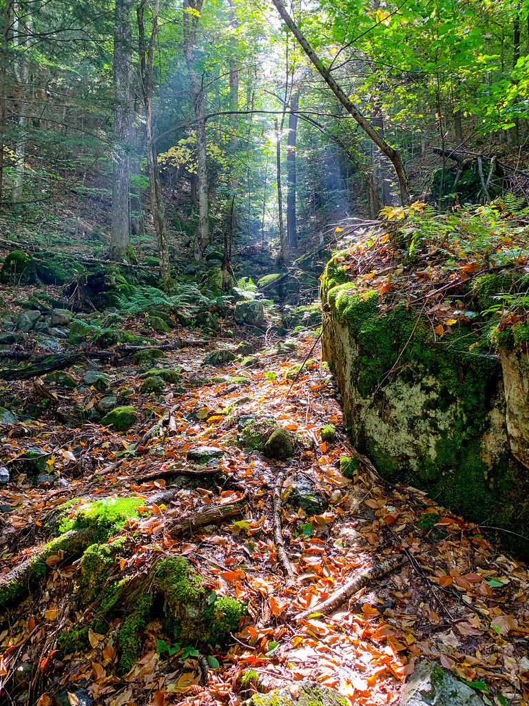 Henry Stimson TrailHiking · ~4 min drivePhoto: Fil.Al, CC BY 2.0 (via Flickr)Old Dix TrailHiking · ~4 min drivePhoto: Fil.Al, CC BY 2.0 (via Flickr)Felix Adler TrailHiking · ~5 min drivePhoto: Fil.Al, CC BY 2.0 (via Flickr)
Map and trail data © OpenStreetMap contributors

