Lillypad Pond campsite
Campground
Campground · 4.0 mi from the trail
East Trail is a 7-mile moderate hike in the Giant Mountain Wilderness of New York, managed by the State Department of Conservation. The route is a point-to-point trail with a one-way elevation gain of 3,539 feet, starting at about 4,462 feet and reaching a high point of 4,539 feet. The climb is rolling, and the trail also drops about 2,719 feet along the way. The trail is not open to bikes or horses. North Trail lies just 0.1 mile away, and Ridge Trail is about 0.6 mile off. Washbowl Trail and Nubble Trail are each roughly 1.7 miles away, and the Upper Washbowl Cliff climbing area sits at a similar distance.
Lillypad Pond campsite
Campground
Dogwood Bread Co.
Restaurant
Schroon Lake view
Viewpoint
Places © OpenStreetMap contributors
More in Schroon LakeNot on Roamze yet. Their page has how to reach them.
 Photo: Dougtone, CC BY-SA 2.0 (via Flickr)
Washbowl Trail
~3 min drive
Washbowl Trail is a 0.90-mile point-to-point trail in New York with 559 ft of elevation gain.
Photo: Dougtone, CC BY-SA 2.0 (via Flickr)Roaring Brook Trail
~4 min drive
3.23-mile point-to-point trail in New York with 3,540 ft elevation gain
 Photo: Fil.Al, CC BY 2.0 (via Flickr)
S. Burns Weston Trail
~4 min drive
A 2.54-mile point-to-point trail offering accessible hiking through New York terrain.
 Photo: matt.a, CC BY 3.0 (via Wikimedia Commons)
Hedgehog Trail
~8 min drive
1.38-mile point-to-point trail in New York with 1,076 ft elevation gain.
Photo: Dougtone, CC BY-SA 2.0 (via Flickr)Nubble Trail
~3 min drive
Nubble Trail is a point-to-point trail in New York, 0.88 miles with 833 ft gain.
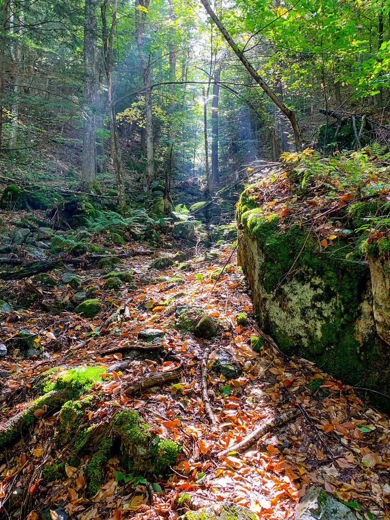 Photo: Fil.Al, CC BY 2.0 (via Flickr)
Henry Stimson Trail
~5 min drive
1.29-mile point-to-point trail in New York with 1,749 ft elevation gain.
HIKE
Upham Trail
~8 min drive
1.43-mile out-and-back trail in New York with 1,333 ft elevation loss.
HIKE
Hopkins via Spread Eagle Trail
~4 min drive
1.17-mile point-to-point hike in New York with 1,098 ft gain.
Photo: Fil.Al, CC BY 2.0 (via Flickr)Old Dix Trail
~5 min drive
2.07-mile point-to-point trail in New York with 922 ft elevation gain.
Photo: Fil.Al, CC BY 2.0 (via Flickr)Felix Adler Trail
~6 min drive
0.87-mile point-to-point trail in New York with 1,144 ft elevation loss
About 7.0 mi.
About 3,539 ft of climbing round trip.
It is rated moderate.
About 4 hours round trip.
Daily highs and lows, wind and the chance of precipitation at the summit and route start for the next 7 days, from the Open-Meteo model.
Map and trail data © OpenStreetMap contributors

