Lillypad Pond campsite
Campground
Campground · 3.0 mi from the trail
 Photo: Fil.Al, CC BY 2.0 (via Flickr)
The Felix Adler Trail is a 0.87-mile point-to-point hike in New York's High Peaks Wilderness, managed by the State Department of Conservation. It is a moderate route with a total elevation gain of 1,202 feet, rising from about 3,477 feet to a high point of 3,552 feet. The climb is steepest near the start, with a grade of about 36% at 0.26 miles in. The trail is short enough to fit into a single outing. Plan on about an hour for the trip, and expect the steepest stretch early on. Bikes and horses are not allowed. Noonmark Mountain, a climbing area, sits about 0.8 miles away. The S. Burns Weston Trail, Henry Stimson Trail and Old Dix Trail are all about a mile off.
Lillypad Pond campsite
Campground
Schroon Lake view
Viewpoint
Places © OpenStreetMap contributors
More in Schroon LakeNot on Roamze yet. Their page has how to reach them.
Photo: Fil.Al, CC BY 2.0 (via Flickr)S. Burns Weston Trail
~2 min drive
A 2.54-mile point-to-point trail offering accessible hiking through New York terrain.
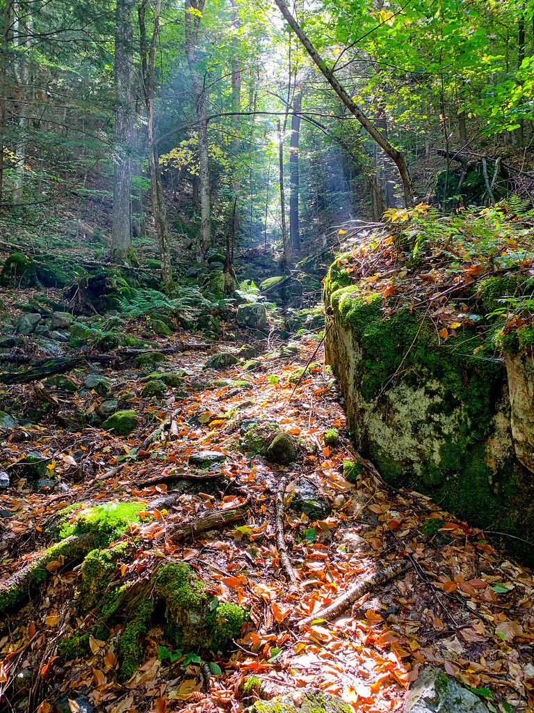 Photo: Fil.Al, CC BY 2.0 (via Flickr)
Old Dix Trail
~2 min drive
2.07-mile point-to-point trail in New York with 922 ft elevation gain.
Photo: Fil.Al, CC BY 2.0 (via Flickr)Henry Stimson Trail
~2 min drive
1.29-mile point-to-point trail in New York with 1,749 ft elevation gain.
 Photo: matt.a, CC BY 3.0 (via Wikimedia Commons)
Hedgehog Trail
~6 min drive
1.38-mile point-to-point trail in New York with 1,076 ft elevation gain.
 Photo: Dougtone, CC BY-SA 2.0 (via Flickr)
Nubble Trail
~3 min drive
Nubble Trail is a point-to-point trail in New York, 0.88 miles with 833 ft gain.
 Photo: Fil.Al, CC BY 2.0 (via Flickr)
H.G. Leach Trail
~2 min drive
5.17-mile point-to-point trail in New York with 3,842 ft elevation gain
HIKE
Ranney Trail
~6 min drive
Ranney Trail is a 1.38-mile point-to-point trail in New York with 1,323 ft of elevation loss.
Photo: Dougtone, CC BY-SA 2.0 (via Flickr)Washbowl Trail
~3 min drive
Washbowl Trail is a 0.90-mile point-to-point trail in New York with 559 ft of elevation gain.
Photo: Dougtone, CC BY-SA 2.0 (via Flickr)Roaring Brook Trail
~3 min drive
3.23-mile point-to-point trail in New York with 3,540 ft elevation gain
HIKE
Hopkins via Spread Eagle Trail
~7 min drive
1.17-mile point-to-point hike in New York with 1,098 ft gain.
About 0.9 mi.
About 1,202 ft of climbing round trip.
It is rated moderate.
About 0.5 hours round trip.
2: Felix Adler Trail and Henry Stimson Trail.
Daily highs and lows, wind and the chance of precipitation at the summit and route start for the next 7 days, from the Open-Meteo model.
Map and trail data © OpenStreetMap contributors

