Hatchet Island
Campground
Campground · 1.2 mi from the trail
Five Mile Point Trail is a 2.7-mile point-to-point hike in the Lake George Wild Forest in New York, managed by the State Department of Conservation. The route rises from a low of about 326 feet to a high of 1,490 feet, with a total elevation gain of 2,262 feet. It is a moderate hike, and the trail is not wheelchair accessible. The most comfortable months for a visit are typically June through September, when typical averages from a nearby weather station in Whitehall run from highs around 79°F in June to about 83°F in July, with September easing to around 74°F. That station sits well below the trail, so temperatures on the higher ground run cooler. Dogs are allowed, but bikes and horses are not. The Tongue Mountain Range Trail starts just 0.1 mile away, and the Black Mountain Point Trail and Lakeside Trail are each about 2.1 miles off. Climbers can find Ark Wall roughly 4.6 miles away.
Hatchet Island
Campground
Town of Horicon Museum
Museum
Places © OpenStreetMap contributors
More in Schroon LakeNot on Roamze yet. Their page has how to reach them.
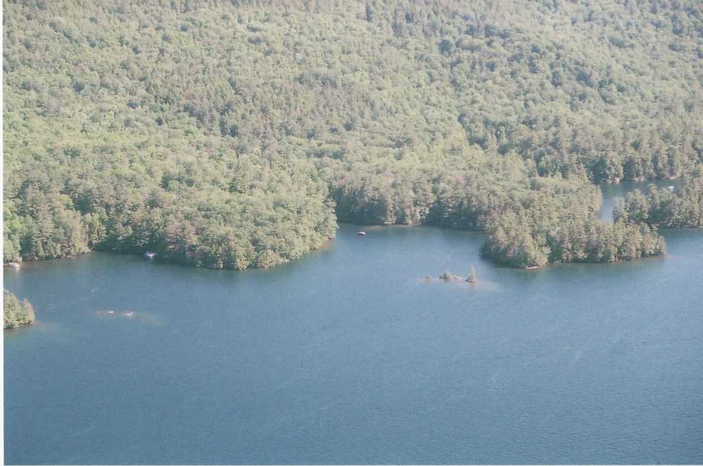 Black Mountain Point TrailHikingPhoto: sdunigan518, CC BY 2.0 (via Flickr)2.1 miLakeside TrailHikingPhoto: sdunigan518, CC BY 2.0 (via Flickr)2.1 mi
 The SagamoreLake fishing5.8 mi
Source: Roamze catalog (indexable pages within 10 miles, PostGIS distance)
Black Mountain Point TrailHiking · ~4 min drivePhoto: sdunigan518, CC BY 2.0 (via Flickr)Lakeside TrailHiking · ~4 min drivePhoto: sdunigan518, CC BY 2.0 (via Flickr) Northwest Bay TrailHiking · ~7 min drivePhoto: philipmatarese, CC BY 2.0 (via Flickr)Fishbrook Pond-Lake George TrailHiking · ~4 min drivePhoto: sdunigan518, CC BY 2.0 (via Flickr)
 Erebus South Slope TrailHiking · ~7 min drivePhoto: ke9tv, CC BY-SA 2.0 (via Flickr)
 Elephant Mountain pathHiking · ~6 min drivePhoto: wboykinm, CC BY-SA 2.0 (via Flickr)Millman Pond TrailHiking · ~7 min drivePhoto: ke9tv, CC BY-SA 2.0 (via Flickr)Sleeping Beauty TrailHiking · ~9 min drivePhoto: ke9tv, CC BY-SA 2.0 (via Flickr)
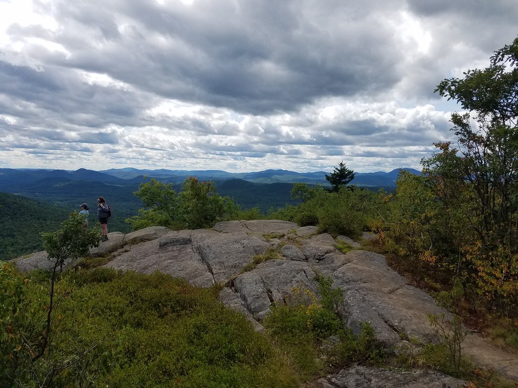 Cat Mountain Red TrailHiking · ~12 min drivePhoto: ke9tv, CC BY-SA 2.0 (via Flickr)
 Pinnacle Red TrailHiking · ~12 min drivePhoto: New York Public Library, No restrictions (via Wikimedia Commons)
Best months: April and June–October. Best months have typical highs of 55–85 °F, lows of 30 °F or warmer (32 °F where the station doesn't record snow), at most one snowy day and no more than 12 wet days.
Jan
30° / 12°
11 wet
Feb
34° / 12°
9 wet
Mar
43° / 22°
10 wet
Apr
58° / 35°
11 wet
May
71° / 47°
13 wet
Jun
79° / 56°
12 wet
Jul
83° / 61°
12 wet
Aug
82° / 60°
11 wet
Sep
74° / 52°
10 wet
Oct
61° / 41°
12 wet
Nov
47° / 31°
11 wet
Dec
35° / 21°
12 wet
Typical high / low (°F) and days with rain or snow, 1991–2020. Measured at Whitehall, NY, 10.1 mi away at 119 ft. The station sits about 1,400 ft lower than this place, so expect it a little cooler here. This station doesn't record snowfall. Source: NOAA NCEI U.S. Climate Normals 1991–2020.
Map and trail data © OpenStreetMap contributors
