Erebus Mountain Trail
- 3.2 mi
- round trip
- 2,021 ft
- climb
- 2,190 ft
- high point
- Out and back
- route
- May–Oct
- best months
Erebus Mountain Trail is a 6.5-mile out-and-back hike in the Lake George Wild Forest in New York, managed by the State Department of Conservation. The trail rises from a starting point at about 1,924 feet to a high point of 2,190 feet, with a total elevation gain of 2,021 feet over the course of the round trip. The climb is rolling rather than steep, and the route is rated moderate. Summer is the most comfortable time to go. Typical averages from a nearby weather station at Conklingville Dam show July highs around 77°F with lows near 60°F, and September still runs in the upper 60s by day. That station sits well below the trail, so temperatures on the mountain run cooler. The hike takes about three hours. The West Fishbrook Pond Trail and Millman Pond Trail both lie within a mile, and the Erebus South Slope Trail is about 0.9 miles away. Climbers can find Sleeping Beauty Mountain about 2.1 miles off.
Local outfitters
- Cloudsplitter Outfitters39 mi away
Not on Roamze yet. Their page has how to reach them.
- West Fishbrook Pond TrailHiking0.6 mi
 Millman Pond TrailHikingPhoto: ke9tv, CC BY-SA 2.0 (via Flickr)0.8 mi
- Erebus South Slope TrailHikingPhoto: ke9tv, CC BY-SA 2.0 (via Flickr)0.9 mi
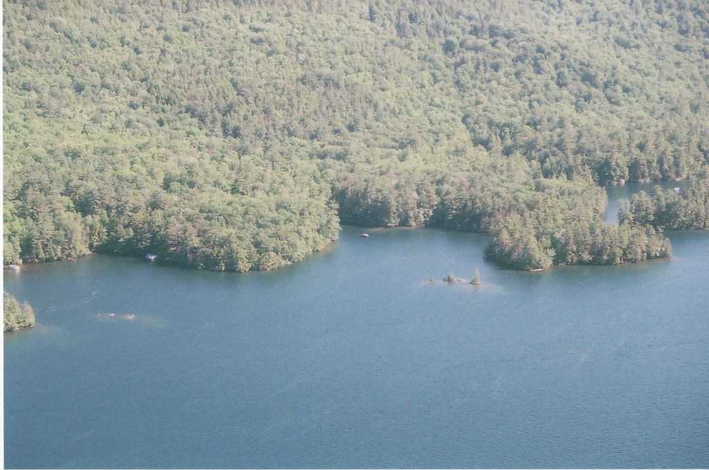 Fishbrook Pond-Lake George TrailHikingPhoto: sdunigan518, CC BY 2.0 (via Flickr)1.2 mi
- Sleeping Beauty MountainRock climbing2.1 mi
- Ark WallRock climbing2.8 mi
- Main WallRock climbing3.2 mi
 The SagamoreLake fishing5.3 mi
Source: Roamze catalog (indexable pages within 10 miles, PostGIS distance)
- Millman Pond TrailHiking · ~1 min drivePhoto: ke9tv, CC BY-SA 2.0 (via Flickr)
- Fishbrook Pond-Lake George TrailHiking · ~2 min drivePhoto: sdunigan518, CC BY 2.0 (via Flickr)
- Lakeside TrailHiking · ~2 min drivePhoto: sdunigan518, CC BY 2.0 (via Flickr)
- Erebus South Slope TrailHiking · ~2 min drivePhoto: ke9tv, CC BY-SA 2.0 (via Flickr)
- Black Mountain Point TrailHiking · ~2 min drivePhoto: sdunigan518, CC BY 2.0 (via Flickr)
- Tongue Mountain Range TrailHiking · ~6 min drive
 Northwest Bay TrailHiking · ~7 min drivePhoto: philipmatarese, CC BY 2.0 (via Flickr)
- Sleeping Beauty TrailHiking · ~3 min drivePhoto: ke9tv, CC BY-SA 2.0 (via Flickr)
- Champlain Valley Trail (Whitehall to Ticonderoga)Hiking · ~13 min drive
 old logging trailHiking · ~13 min drivePhoto: ke9tv, CC BY-SA 2.0 (via Flickr)
Best time to visit Erebus Mountain Trail
Best months: May–October. Best months have typical highs of 55–85 °F, lows of 30 °F or warmer (32 °F where the station doesn't record snow), at most one snowy day and no more than 12 wet days.
Jan
28° / 12°
12 wet · 7 snow
Feb
32° / 13°
10 wet · 6 snow
Mar
40° / 22°
11 wet · 4 snow
Apr
53° / 34°
10 wet · 1 snow
May
65° / 46°
11 wet
Jun
73° / 55°
10 wet
Jul
77° / 60°
10 wet
Aug
76° / 59°
9 wet
Sep
69° / 51°
8 wet
Oct
57° / 40°
10 wet
Nov
45° / 31°
10 wet · 2 snow
Dec
34° / 21°
12 wet · 5 snow
Typical high / low (°F) and days with rain or snow, 1991–2020. Measured at Conklingville Dam, NY, 26.2 mi away at 808 ft. The station sits about 1,400 ft lower than this place, so expect it a little cooler here. Source: NOAA NCEI U.S. Climate Normals 1991–2020.
Map and trail data © OpenStreetMap contributors
