Three Gun Spring Arroyo Trail
- 1.1 mi
- round trip
- 692 ft
- climb
- 7,241 ft
- high point
- Out and back
- route
- Apr–Oct
- best months
Is Three Gun Spring Arroyo Trail open right now?
Closure in the area
There's a closure order in Sandia Ranger District. It doesn't name Three Gun Spring Arroyo Trail, so check the source for the area it covers (3 listed).
Area Closure for Recreation Residence Structures and Property at 91 Casa Loma Road
Agency closure covering Sandia Ranger District · Order 03-03-05-26-14 · USFS · Sandia Ranger District
Area Closure for Recreation Residence Structures and Property at 69 Casa Loma Road
Agency closure covering Sandia Ranger District · Order 03-03-05-26-13 · USFS · Sandia Ranger District
Area Closure for Sandia Crest “Switchback” Hazard Tree and Fuel Reduction Project
Agency closure covering Sandia Ranger District · Order 03-03-05-26-02 · USFS · Sandia Ranger District
Sandia Ranger District Road & Area Closure for National Forest Road 462 Maintenance
Agency alert covering Sandia Ranger District · Order 03-03-05-26-24 · USFS · Sandia Ranger District
Mountainair and Sandia Ranger Districts Stage 1 Fire Restriction Lifted
Agency alert covering Sandia Ranger District · Order 03-03-00-26-20 · USFS · Sandia Ranger District
As of · Source: USFS · Sandia Ranger District. Agencies don't list every closure — check before you go.
The Three Gun Spring Arroyo Trail is an out-and-back hike of about 2.2 miles in the Sandia Ranger District of Cibola National Forest in New Mexico. The trail starts and ends at roughly the same point, and the round trip reaches a high of about 7,241 feet, rising from a low of about 6,534 feet. The climb is rated easy, and the Forest Service manages the land. For timing, late spring and early fall are the most comfortable. Typical averages from the nearby Sandia Park weather station run from highs in the low 70s in May to the upper 70s in September, with lows in the 40s. Winter there is cold, with January highs around 44°F and lows near 19°F. Several other destinations sit close by. The Hawk Watch and Trail Side Area 1 are each about a tenth of a mile away, and the Three Gun Spring Trail and Screaming Jihad climbing area are both about 0.4 miles off.
Local outfitters
- Turquoise Trail Campground6 mi away
Not on Roamze yet. Their page has how to reach them.
- Hawk WatchHiking0.1 mi
- Trail Side Area 1Rock climbing0.1 mi
 Three Gun Spring TrailHikingPhoto: Matt Lavin, CC BY-SA 2.0 (via Flickr)0.4 mi
- Screaming JihadRock climbing0.4 mi
- East Hawk WatchHiking0.5 mi
- Crystal Ship and Glass HouseRock climbing0.5 mi
- Hawk Watch OverlookHiking0.7 mi
 Upper Fat City Drainage (a.k.a. Embudo Canyon)Rock climbingPhoto: somjuan, CC BY 2.0 (via Flickr)1.4 mi
Source: Roamze catalog (indexable pages within 10 miles, PostGIS distance)
- Hawk WatchHiking · Next doorPhoto: Matt Lavin, CC BY-SA 2.0 (via Flickr)
- Three Gun Spring TrailHiking · Next doorPhoto: Matt Lavin, CC BY-SA 2.0 (via Flickr)
- Ccc TrailHiking · ~4 min drive
- Three Gun Spring Arroyo TrailHiking · ~1 min drivePhoto: Matt Lavin, CC BY-SA 2.0 (via Flickr)
 EmbudoHiking · ~3 min drivePhoto: somjuan, CC BY 2.0 (via Flickr)
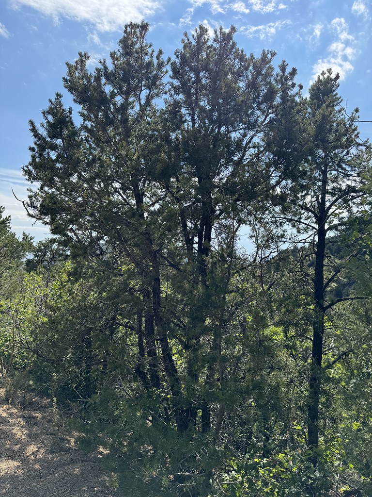 Old Crest TrailHiking · ~2 min drivePhoto: Matt Lavin, CC BY-SA 2.0 (via Flickr)
 Manzano / Four HIlls trailHiking · ~5 min drivePhoto: Francis Storr, CC BY-SA 2.0 (via Flickr)
- Mano Eye of the Sandias LinkHiking · ~2 min drivePhoto: somjuan, CC BY 2.0 (via Flickr)
- Old South Crest TrailHiking · ~3 min drive
- Embudo BypassHiking · ~3 min drivePhoto: somjuan, CC BY 2.0 (via Flickr)
Best time to visit Three Gun Spring Arroyo Trail
Best months: April–October. Best months have typical highs of 55–85 °F, lows of 30 °F or warmer (32 °F where the station doesn't record snow), at most one snowy day and no more than 12 wet days.
Jan
44° / 19°
Feb
48° / 22°
Mar
55° / 26°
Apr
63° / 34°
May
73° / 41°
Jun
83° / 49°
Jul
83° / 53°
Aug
80° / 52°
Sep
77° / 46°
Oct
65° / 36°
Nov
54° / 24°
Dec
43° / 18°
Typical high / low (°F) and days with rain or snow, 1991–2020. Measured at Sandia Park, NM, 9.9 mi away at 7,030 ft. This station doesn't record snowfall. Source: NOAA NCEI U.S. Climate Normals 1991–2020.
Map and trail data © OpenStreetMap contributors
