Ccc Trail
- 1.7 mi
- round trip
- 3,486 ft
- climb
- 9,348 ft
- high point
- Out and back
- route
Is Ccc Trail open right now?
Closure in the area
There's a closure order in Sandia Ranger District. It doesn't name Ccc Trail, so check the source for the area it covers (3 listed).
Area Closure for Recreation Residence Structures and Property at 91 Casa Loma Road
Agency closure covering Sandia Ranger District · Order 03-03-05-26-14 · USFS · Sandia Ranger District
Area Closure for Recreation Residence Structures and Property at 69 Casa Loma Road
Agency closure covering Sandia Ranger District · Order 03-03-05-26-13 · USFS · Sandia Ranger District
Area Closure for Sandia Crest “Switchback” Hazard Tree and Fuel Reduction Project
Agency closure covering Sandia Ranger District · Order 03-03-05-26-02 · USFS · Sandia Ranger District
Sandia Ranger District Road & Area Closure for National Forest Road 462 Maintenance
Agency alert covering Sandia Ranger District · Order 03-03-05-26-24 · USFS · Sandia Ranger District
Mountainair and Sandia Ranger Districts Stage 1 Fire Restriction Lifted
Agency alert covering Sandia Ranger District · Order 03-03-00-26-20 · USFS · Sandia Ranger District
As of · Source: USFS · Sandia Ranger District. Agencies don't list every closure — check before you go.
The CCC Trail is a hard hike in the Sandia Mountain Wilderness, part of the Sandia Ranger District of Cibola National Forest in New Mexico. The Forest Service manages the land, and the trail lies within designated wilderness. The route is an out-and-back of about 3.4 miles, with a total climb of about 3,486 feet. The trail starts near 9,347 feet and reaches a high point of about 9,348 feet, so the climb is essentially a round trip. The steepest stretch comes at about 0.9 miles in, with a grade of about 32 percent. Several other trails sit close by. The Crest to South Peak Trail is about 0.3 miles away, the South Crest Trail about 0.4 miles, and the South Sandia Peak Trail about 0.5 miles. Climbers can find the Upper Fat City Drainage (a.k.a. Embudo Canyon) about 2.3 miles away.
Local outfitters
- Turquoise Trail Campground4 mi away
Not on Roamze yet. Their page has how to reach them.
Keep exploring — more trails worth the drive
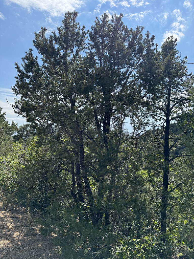 Photo: Matt Lavin, CC BY-SA 2.0 (via Flickr)
Old Crest Trail
~2 min drive
0.35-mile out-and-back trail with 150 ft gain in New Mexico.
HIKE
Oso Ridge Trail
~2 min drive
3.88-mile lollipop trail in New Mexico with 2,254 ft gain
 Photo: mnchilemom, CC BY 2.0 (via Flickr)
Oso Ridge Bypass
~4 min drive
0.32-mile out-and-back trail in New Mexico with 131 ft of elevation gain.
HIKE
Embudo to Three Gun
~2 min drive
1.45-mile out-and-back trail from Embudo to Three Gun in New Mexico.
 Photo: Matt Lavin, CC BY-SA 2.0 (via Flickr)
Hawk Watch
~4 min drive
0.26-mile out-and-back trail in New Mexico with 187 ft of elevation gain.
HIKE
Larrys Trail
~2 min drive
2.37-mile out-and-back hike in New Mexico with 170 ft gain.
HIKE
Crest to South Peak Trail
Next door
0.21-mile out-and-back hike to South Peak with 100 ft of elevation gain.
HIKE
Old South Crest Trail
~3 min drive
1.66-mile out-and-back trail with 272 ft gain in New Mexico.
HIKE
South Crest Trail
Next door
South Crest Trail is a 0.17-mile out-and-back in New Mexico with 77 ft of elevation gain.
HIKE
Faulty Trail
~3 min drive
2.62-mile out-and-back hike in New Mexico with 1,101 ft gain.

Map and trail data © OpenStreetMap contributors
