Three Gun Spring Arroyo Trail
 Photo: Matt Lavin, CC BY-SA 2.0 (via Flickr)
- 0.2 mi
- round trip
- 27 ft
- climb
- 6,280 ft
- high point
- Out and back
- route
- Apr–May, Sep–Oct
- best months
Is Three Gun Spring Arroyo Trail open right now?
Closure in the area
There's a closure order in Sandia Ranger District. It doesn't name Three Gun Spring Arroyo Trail, so check the source for the area it covers (3 listed).
Area Closure for Recreation Residence Structures and Property at 91 Casa Loma Road
Agency closure covering Sandia Ranger District · Order 03-03-05-26-14 · USFS · Sandia Ranger District
Area Closure for Recreation Residence Structures and Property at 69 Casa Loma Road
Agency closure covering Sandia Ranger District · Order 03-03-05-26-13 · USFS · Sandia Ranger District
Area Closure for Sandia Crest “Switchback” Hazard Tree and Fuel Reduction Project
Agency closure covering Sandia Ranger District · Order 03-03-05-26-02 · USFS · Sandia Ranger District
Mountainair and Sandia Ranger Districts Stage 1 Fire Restriction Lifted
Agency alert covering Sandia Ranger District · Order 03-03-00-26-20 · USFS · Sandia Ranger District
Mountainair and Sandia Ranger Districts Stage 1 Fire Restriction Order 03-03-00-26-05
Agency alert covering Sandia Ranger District · Order 03-03-00-26-05 · USFS · Sandia Ranger District
As of · Source: USFS · Sandia Ranger District. Agencies don't list every closure — check before you go.
Three Gun Spring Arroyo Trail is a short, easy hike in the Sandia Ranger District of Cibola National Forest, about 0.6 miles from the town of Monticello, New Mexico. The trail is an out-and-back of about 0.3 miles, with a total elevation gain of 27 feet, so it's a quick stop rather than a long outing. Spring and fall are the most comfortable times to go. Typical averages from a nearby weather station show May highs around 78°F and October highs around 68°F, while July and August bring the most wet days, about 11 each month. Several other spots sit close by. The Three Gun Spring Trail and the Screaming Jihad climbing area are each about 0.3 miles away, and the Hawk Watch hike is about 0.6 miles off. Carnuel Crag, a climbing area, is about 1.3 miles away.
Local outfitters
- Turquoise Trail Campground7 mi away
Not on Roamze yet. Their page has how to reach them.
Best time to go · Apr–May, Sep–Oct
Best time to visit Three Gun Spring Arroyo Trail
Best months: April–May and September–October. Best months have typical highs of 55–85 °F, lows of 30 °F or warmer (32 °F where the station doesn't record snow), at most one snowy day and no more than 12 wet days.
Jan
45° / 26°
5 wet · 3 snow
Feb
51° / 29°
5 wet · 3 snow
Mar
60° / 35°
5 wet · 2 snow
Apr
68° / 40°
4 wet · 1 snow
May
78° / 49°
5 wet
Jun
88° / 58°
5 wet
Jul
89° / 62°
11 wet
Aug
86° / 61°
11 wet
Sep
80° / 55°
8 wet
Oct
68° / 43°
6 wet
Nov
54° / 33°
5 wet · 2 snow
Dec
44° / 26°
5 wet · 3 snow
Typical high / low (°F) and days with rain or snow, 1991–2020. Measured at Albuquerque Foothills Ne, NM, 4.8 mi away at 5,994 ft. Source: NOAA NCEI U.S. Climate Normals 1991–2020.
Keep exploring — more trails worth the drive
Photo: Matt Lavin, CC BY-SA 2.0 (via Flickr)Hawk Watch
Next door
0.26-mile out-and-back trail in New Mexico with 187 ft of elevation gain.
 Photo: Francis Storr, CC BY-SA 2.0 (via Flickr)
Manzano / Four HIlls trail
~4 min drive
1.78-mile out-and-back hike in New Mexico with 965 ft elevation gain
HIKE
Ccc Trail
~5 min drive
1.68-mile out-and-back trail in New Mexico with 1,741 ft elevation loss.
 Photo: somjuan, CC BY 2.0 (via Flickr)
Mano Eye of the Sandias Link
~2 min drive
0.25-mile out-and-back trail in New Mexico with 255 ft elevation gain.
 Photo: somjuan, CC BY 2.0 (via Flickr)
Embudo
~4 min drive
5.49-mile out-and-back trail in New Mexico with 1,832 ft of elevation gain.
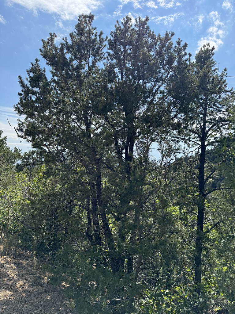 Photo: Matt Lavin, CC BY-SA 2.0 (via Flickr)
Old Crest Trail
~3 min drive
0.35-mile out-and-back trail with 150 ft gain in New Mexico.
Photo: Matt Lavin, CC BY-SA 2.0 (via Flickr)Three Gun Spring Trail
Next door
3.93-mile out-and-back hike in New Mexico with 2,503 ft gain
 Photo: maximalideal, CC BY-SA 2.0 (via Flickr)
Powerline Route
~3 min drive
Steep, short utility trail with significant elevation gain near Powerline Route.
HIKE
Eye of the Sandias Route
~3 min drive
3.48-mile out-and-back trail in New Mexico with 1,749 ft elevation gain.
Photo: Francis Storr, CC BY-SA 2.0 (via Flickr)Yucca Loop
~3 min drive
0.41-mile loop with 193 ft gain in New Mexico.


Map and trail data © OpenStreetMap contributors
