Spring Canyon Trail #721
- 1.9 mi
- round trip
- 1,867 ft
- climb
- 8,206 ft
- high point
- Out and back
- route
Caution today
Agency alerts are in effect for this area; weather is good · USFS, OpenWeather · checked just now
Is Spring Canyon Trail #721 open right now?
Closure in the area
There's a closure order in Gila National Forest. It doesn't name Spring Canyon Trail #721, so check the source for the area it covers.
Beaverhead Water Non-Potable
Agency closure covering Gila National Forest · USFS · Gila National Forest
Harmful algae detected in Lake Roberts
Agency alert covering Gila National Forest · USFS · Gila National Forest
Potentially Dangerous Animal Encounters
Agency alert covering Gila National Forest · USFS · Gila National Forest
As of · Source: USFS · Gila National Forest. Agencies don't list every closure — check before you go.
Spring Canyon Trail #721 is a moderate out-and-back hike in the Silver City Ranger District of Gila National Forest in New Mexico. The route starts at about 7,268 feet and climbs to a high point of 8,206 feet, with a total elevation gain of 1,867 feet over the 3.7-mile round trip. The trail is managed by the Forest Service, and Iron Creek Campground sits just 0.1 mile away. The climb is rolling, with the steepest stretch at about 0.11 mile in from the start, where the grade reaches 34 percent. The route is rated moderate, and the round trip takes about two hours. Iron Creek Campground is the closest place to camp. Gallinas Canyon and East Railroad are both about 1.5 miles away, and Kingston Campground is about 6 miles away.
Local outfitters
- Silver City RV Park29 mi away
- Burro Mountain Homestead RV Park42 mi away
Not on Roamze yet. Their page has how to reach them.
- Iron Creek CampgroundCamping0.1 mi
- Gallinas CanyonHiking1.5 mi
- East RailroadHiking1.6 mi
 Silver Creek RoadHikingPhoto: Patrick Alexander from Las Cruces, NM, CC0 (via Wikimedia Commons)1.9 mi
 Black Range CrestHikingPhoto: uıɐɾ ʞ ʇɐɯɐs, CC BY-SA 2.0 (via Flickr)2.1 mi
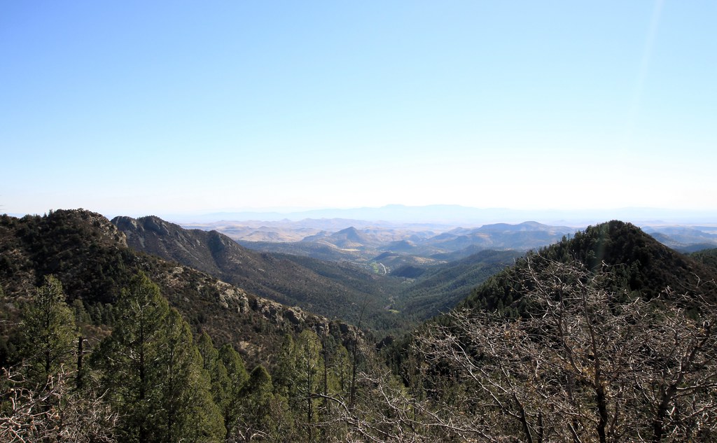 Cdt JovHikingPhoto: uıɐɾ ʞ ʇɐɯɐs, CC BY-SA 2.0 (via Flickr)2.2 mi
- Kingston CampgroundCamping6 mi
 Mimbres RiverCanoeingPhoto: Rafael Moreno (Flikr user moreno415), CC BY 2.0 (via Wikimedia Commons)9.6 mi
Source: Roamze catalog (indexable pages within 10 miles, PostGIS distance)
- Silver Creek RoadHiking · ~3 min drivePhoto: Patrick Alexander from Las Cruces, NM, CC0 (via Wikimedia Commons)
- Black Range CrestHiking · ~4 min drivePhoto: uıɐɾ ʞ ʇɐɯɐs, CC BY-SA 2.0 (via Flickr)
- Scenic TrailHiking · ~4 min drivePhoto: uıɐɾ ʞ ʇɐɯɐs, CC BY-SA 2.0 (via Flickr)
- Gallinas CanyonHiking · ~3 min drive
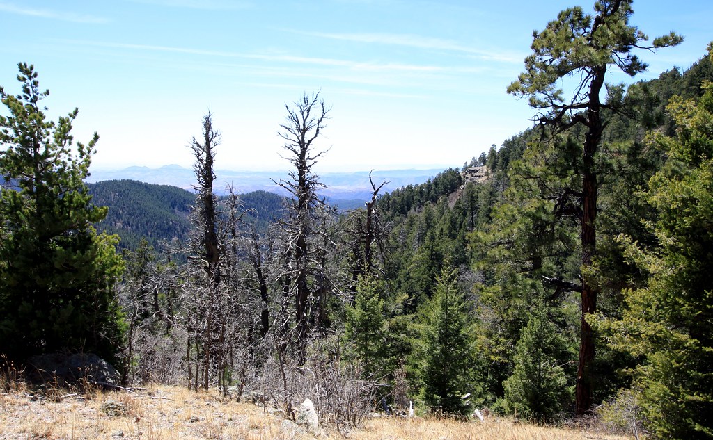 Old Mineral CreekHiking · ~6 min drivePhoto: uıɐɾ ʞ ʇɐɯɐs, CC BY-SA 2.0 (via Flickr)
- Cdt JovHiking · ~4 min drivePhoto: uıɐɾ ʞ ʇɐɯɐs, CC BY-SA 2.0 (via Flickr)
 Black Range Crest Trail #79Hiking · ~10 min drivePhoto: Patrick Alexander from Las Cruces, NM, CC0 (via Wikimedia Commons)
- Holden Prong Trail #114Hiking · ~6 min drive
 CdtHiking · ~7 min drivePhoto: Patrick Alexander from Las Cruces, NM, CC0 (via Wikimedia Commons)
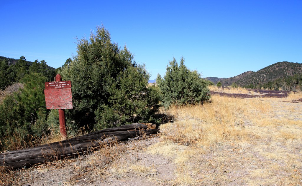 Cdt JovHiking · ~4 min drivePhoto: uıɐɾ ʞ ʇɐɯɐs, CC BY-SA 2.0 (via Flickr)
Map and trail data © OpenStreetMap contributors
