Cdt Jov
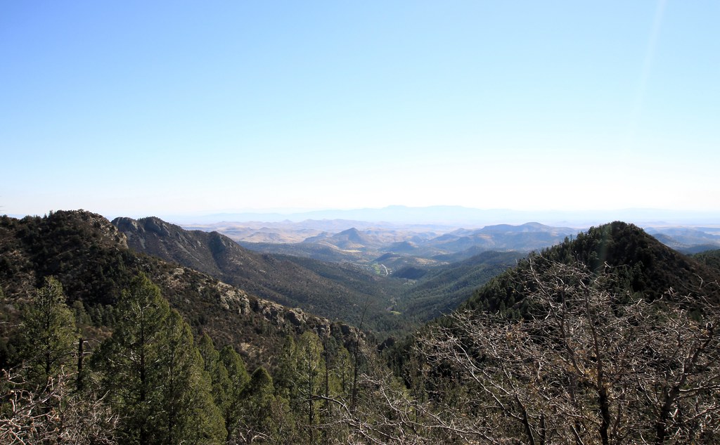 Photo: uıɐɾ ʞ ʇɐɯɐs, CC BY-SA 2.0 (via Flickr)
- 0.3 mi
- round trip
- 115 ft
- climb
- 8,315 ft
- high point
- Out and back
- route
Is Cdt Jov open right now?
Closure in the area
There's a closure order in Gila National Forest. It doesn't name Cdt Jov, so check the source for the area it covers.
Beaverhead Water Non-Potable
Agency closure covering Gila National Forest · USFS · Gila National Forest
Harmful algae detected in Lake Roberts
Agency alert covering Gila National Forest · USFS · Gila National Forest
Potentially Dangerous Animal Encounters
Agency alert covering Gila National Forest · USFS · Gila National Forest
As of · Source: USFS · Gila National Forest. Agencies don't list every closure — check before you go.
Cdt Jov is a short, easy out-and-back hike in the Black Range Ranger District of Gila National Forest in New Mexico, managed by the Forest Service. The route is about half a mile long, with a low point of 8,175 feet and a high of 8,315 feet, so the climb is a gentle 115 feet of elevation gain. The trail sits close to several other routes. Scenic Trail is just 0.1 mile away, and Black Range Crest is about half a mile off. Silver Creek Road and Spring Canyon Trail #721 are both within about 2 miles.
Local outfitters
- Silver City RV Park31 mi away
- Burro Mountain Homestead RV Park44 mi away
Not on Roamze yet. Their page has how to reach them.
Keep exploring — more trails worth the drive
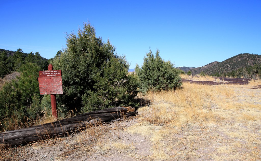 Photo: uıɐɾ ʞ ʇɐɯɐs, CC BY-SA 2.0 (via Flickr)
Cdt Jov
Next door
0.63-mile out-and-back trail in New Mexico with 476 ft elevation gain.
 Photo: Patrick Alexander from Las Cruces, NM, CC0 (via Wikimedia Commons)
Silver Creek Road
~2 min drive
4.16-mile out-and-back trail in New Mexico with 105 ft elevation gain.
 Photo: Patrick Alexander from Las Cruces, NM, CC0 (via Wikimedia Commons)
Black Range Crest Trail #79
~9 min drive
6.47-mile out-and-back hike in New Mexico with 2,759 ft of elevation gain.
HIKE
Gallinas Canyon
~6 min drive
Scenic out-and-back canyon hike through Gallinas Canyon in northern New Mexico.
 Photo: uıɐɾ ʞ ʇɐɯɐs, CC BY-SA 2.0 (via Flickr)
Black Range Crest
Next door
2.74-mile out-and-back trail in New Mexico's Black Range with 1,173 ft elevation gain.
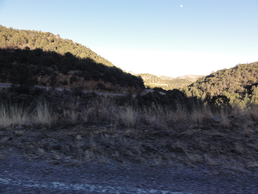 Photo: ossguy, CC BY-SA 2.0 (via Flickr)
SCENIC TRAIL
~4 min drive
2.78-mile out-and-back trail in New Mexico with 1,337 ft elevation gain and loss.
HIKE
Rabb Park
~10 min drive
8.46-mile out-and-back hike through New Mexico's scenic high country.
HIKE
Holden Prong Trail #114
~7 min drive
9.42-mile out-and-back trail in New Mexico with 419 ft gain.
 Photo: uıɐɾ ʞ ʇɐɯɐs, CC BY-SA 2.0 (via Flickr)
Hillsboro Peak Bypass Trail #412
~5 min drive
1.07-mile out-and-back trail in New Mexico with 917 ft gain.
Photo: uıɐɾ ʞ ʇɐɯɐs, CC BY-SA 2.0 (via Flickr)Ladrone Gulch Trail #127
~5 min drive
2.71-mile out-and-back trail in New Mexico with 535 ft elevation gain.

Map and trail data © OpenStreetMap contributors
