Old Mineral Creek
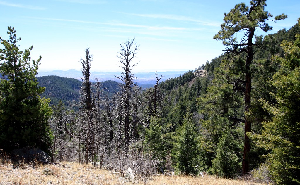 Photo: uıɐɾ ʞ ʇɐɯɐs, CC BY-SA 2.0 (via Flickr)
- 2.6 mi
- round trip
- 2,248 ft
- climb
- 9,491 ft
- high point
- Out and back
- route
Is Old Mineral Creek open right now?
Closure in the area
There's a closure order in Gila National Forest. It doesn't name Old Mineral Creek, so check the source for the area it covers.
Beaverhead Water Non-Potable
Agency closure covering Gila National Forest · USFS · Gila National Forest
Harmful algae detected in Lake Roberts
Agency alert covering Gila National Forest · USFS · Gila National Forest
Potentially Dangerous Animal Encounters
Agency alert covering Gila National Forest · USFS · Gila National Forest
As of · Source: USFS · Gila National Forest. Agencies don't list every closure — check before you go.
Old Mineral Creek is a 5.1-mile out-and-back hike in the Aldo Leopold Wilderness, part of the Black Range Ranger District of Gila National Forest in New Mexico. The trail climbs from a low point of 7,219 feet to a high point of 9,491 feet, with a total elevation gain of 2,248 feet. The Forest Service manages the land, and the route is rated moderate. The trail starts at the low end of the climb and works its way up to the high point before returning. Two other trails sit just 0.2 miles away: the Hillsboro Peak Bypass Trail #412 and the Ladrone Gulch Trail #127. The Cdt Jov is about half a mile off, and Iron Creek Campground, roughly 3.3 miles away, is the closest place to camp.
Local outfitters
- Silver City RV Park31 mi away
- Burro Mountain Homestead RV Park45 mi away
Not on Roamze yet. Their page has how to reach them.
Keep exploring — more trails worth the drive
 Photo: uıɐɾ ʞ ʇɐɯɐs, CC BY-SA 2.0 (via Flickr)
Ladrone Gulch Trail #127
Next door
2.71-mile out-and-back trail in New Mexico with 535 ft elevation gain.
Photo: uıɐɾ ʞ ʇɐɯɐs, CC BY-SA 2.0 (via Flickr)Hillsboro Peak Bypass Trail #412
Next door
1.07-mile out-and-back trail in New Mexico with 917 ft gain.
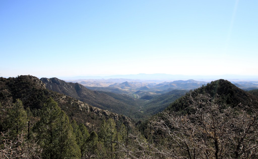 Photo: uıɐɾ ʞ ʇɐɯɐs, CC BY-SA 2.0 (via Flickr)
Scenic Trail
~5 min drive
8.32-mile out-and-back trail in New Mexico with 3,231 ft gain/loss.
HIKE
Animas Divide Trail (117)
~11 min drive
10.32-mile out-and-back trail in New Mexico with 4,732 ft elevation gain.
 Photo: Patrick Alexander from Las Cruces, NM, CC0 (via Wikimedia Commons)
Silver Creek Road
~7 min drive
4.16-mile out-and-back trail in New Mexico with 105 ft elevation gain.
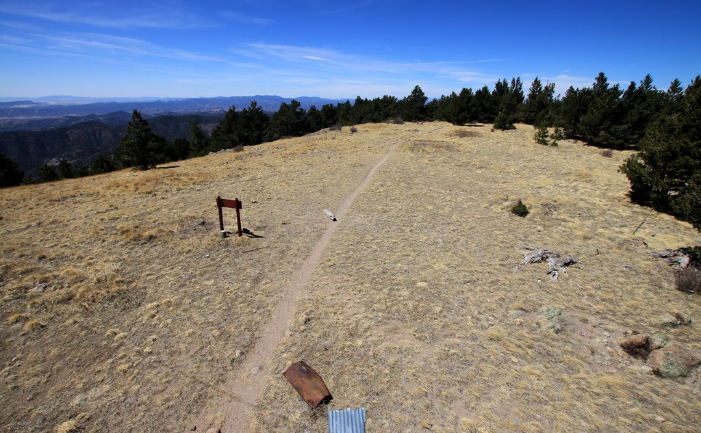 Photo: uıɐɾ ʞ ʇɐɯɐs, CC BY-SA 2.0 (via Flickr)
Cdt Jov
Next door
0.28-mile out-and-back trail in New Mexico with 466 ft elevation loss.
 Photo: Patrick Alexander from Las Cruces, NM, CC0 (via Wikimedia Commons)
Black Range Crest Trail #79
~14 min drive
6.47-mile out-and-back hike in New Mexico with 2,759 ft of elevation gain.
HIKE
Lake Trail #110
~15 min drive
12.34-mile out-and-back trail in New Mexico with 1,269 ft elevation gain.
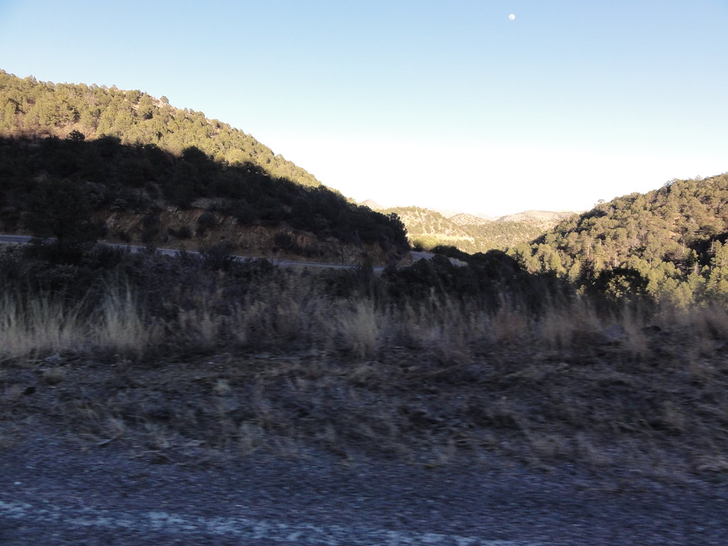 Photo: ossguy, CC BY-SA 2.0 (via Flickr)
SCENIC TRAIL
~7 min drive
2.78-mile out-and-back trail in New Mexico with 1,337 ft elevation gain and loss.
 Photo: uıɐɾ ʞ ʇɐɯɐs, CC BY-SA 2.0 (via Flickr)
Black Range Crest
~4 min drive
2.74-mile out-and-back trail in New Mexico's Black Range with 1,173 ft elevation gain.

Map and trail data © OpenStreetMap contributors
