Norski Trail (255)
 Photo: feverblue, CC BY-SA 2.0 (via Flickr)
- 2.3 mi
- loop
- 621 ft
- climb
- 10,403 ft
- high point
- Loop
- route
Is Norski Trail (255) open right now?
Alert in the area
The Forest Service lists 2 alerts for Santa Fe National Forest.
Road Conditions
Agency alert covering Santa Fe National Forest · USFS · Santa Fe National Forest
Headquarters Well Area Closure on Española Ranger District
Agency alert covering Espanola Ranger District · Order 03-10-06-25-17 · USFS · Espanola Ranger District
As of · Source: USFS · Santa Fe National Forest. Agencies don't list every closure — check before you go.
Norski Trail (255) is a 2.3-mile loop in the Espanola Ranger District of the Santa Fe National Forest in northern New Mexico. The trail climbs about 621 feet from the start at roughly 10,320 feet, reaching a high point of about 10,403 feet, and descends back to the starting elevation. The climb is steady, and the steepest stretch comes around mile 1.5 with a grade of about 13 percent. The Forest Service manages the land, and the trail is rated easy. The Norski Trailhead is the trail's starting point, and the route takes about an hour to complete. The Winsor Trail (254) lies about 0.4 miles away, and Aspen Basin campground is about half a mile off. Tesuque Creek Trail (152) is about 0.8 miles away, and Big Tesuque campground is about 1.4 miles away.
Local outfitters
- Taos Mountain Outfitters45 mi away
Not on Roamze yet. Their page has how to reach them.
 Winsor Trail (254)HikingPhoto: feverblue, CC BY-SA 2.0 (via Flickr)0.4 mi
- Aspen BasinCamping0.5 mi
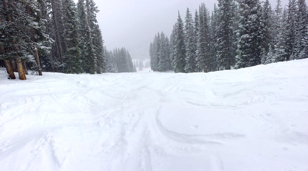 Tesuque Creek Trail (152)HikingPhoto: feverblue, CC BY-SA 2.0 (via Flickr)0.8 mi
- Big TesuqueCamping1.4 mi
- Pecos RiverRiver fishing8.4 mi
- The BleachersRock climbing9.1 mi
- Cathedral RockRock climbing9.1 mi
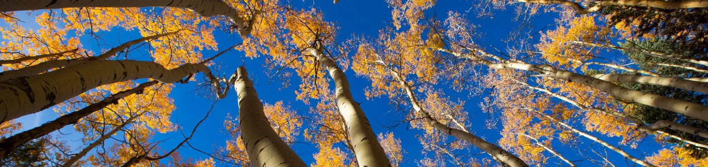 Jacks Creek Group AreaRiver fishing9.3 mi
Source: Roamze catalog (indexable pages within 10 miles, PostGIS distance)
- Winsor Trail (254)Hiking · Next doorPhoto: feverblue, CC BY-SA 2.0 (via Flickr)
- Tesuque Creek Trail (152)Hiking · ~1 min drivePhoto: feverblue, CC BY-SA 2.0 (via Flickr)
 Lower NambeHiking · ~2 min drivePhoto: Bryan Ungard from Santa Fe, New Mexico, USA, CC BY-SA 2.0 (via Wikimedia Commons)
 Tesuque CreekHiking · ~2 min drivePhoto: steveilott, CC BY 2.0 (via Flickr)
 Winsor Trail (254)Hiking · ~3 min drivePhoto: Bryan Ungard from Santa Fe, New Mexico, USA, CC BY-SA 2.0 (via Wikimedia Commons)
- Windsor Trail (254)Hiking · ~4 min drivePhoto: steveilott, CC BY 2.0 (via Flickr)
- Nambe LakeHiking · ~3 min drivePhoto: Bryan Ungard from Santa Fe, New Mexico, USA, CC BY-SA 2.0 (via Wikimedia Commons)
- Ravens RidgeHiking · ~3 min drivePhoto: Bryan Ungard from Santa Fe, New Mexico, USA, CC BY-SA 2.0 (via Wikimedia Commons)
- Capulin Trail (158)Hiking · ~8 min drive
- Upper NambeHiking · ~4 min drivePhoto: Bryan Ungard from Santa Fe, New Mexico, USA, CC BY-SA 2.0 (via Wikimedia Commons)


Map and trail data © OpenStreetMap contributors
