Santa Fe Baldy
 Photo: snowpeak, CC BY 2.0 (via Wikimedia Commons)
- 12,631 ft
- summit
- 1
- way up
- Forest Service
- managed by
Is Santa Fe Baldy open right now?
Alert in the area
The Forest Service lists 3 alerts for Santa Fe National Forest.
Road Conditions
Agency alert covering Santa Fe National Forest · USFS · Santa Fe National Forest
Campground and Equestrian Area Closure for Field Tract and Jacks Creek
Agency alert covering Pecos-Las Vegas Ranger District · Order 03-10-05-26-12 · USFS · Pecos-Las Vegas Ranger District
Temporary area, road, and trail closures for Hermits Peak and Calf Canyon post-fire impacts
Agency alert covering Pecos-Las Vegas Ranger District · Order 03-10-05-26-05 · USFS · Pecos-Las Vegas Ranger District
As of · Source: USFS · Santa Fe National Forest. Agencies don't list every closure — check before you go.
Santa Fe Baldy is a summit of about 12,631 feet in Santa Fe County, New Mexico, inside the Pecos Wilderness. The peak lies within the Pecos-Las Vegas Ranger District of the Santa Fe National Forest, which the Forest Service manages. The nearest town is Rio en Medio, about 8 miles away. The Baldy Trail starts just 0.1 mile from the summit, and the Redondo Peak Route is about 0.4 mile off, so the two routes make natural options for reaching the top. For an overnight base, Aspen Basin campground is about 3.7 miles away and Holy Ghost Gcg about 4.9 miles. The Pecos River, roughly 6.8 miles off, offers river fishing.
Conditions and forecast
Daily highs and lows, wind and the chance of precipitation at the summit and route start for the next 7 days, from the Open-Meteo model.
- Summit elevation
- 12,631 ft
- Land manager
- Forest Service
Elevation from USGS 3D Elevation Program terrain data (about 10 m resolution).
Map © Mapbox © OpenStreetMap contributors Questions about Santa Fe Baldy
How tall is Santa Fe Baldy?
12,631 ft (3,850 m).
How many routes go to the summit of Santa Fe Baldy?
One: Baldy Trail.
- Redondo Peak12,353 ft · New Mexico1 route2.2 mi away
- Penitente Peak12,261 ft · New Mexico2 routes2.6 mi away
- Lake Peak12,412 ft · New Mexico1 route2.6 mi away
- East Pecos Baldy12,534 ft · New Mexico1 route8.1 mi away
- Truchas Peak13,105 ft · New Mexico1 route11 mi away
- Thompson Peak10,557 ft · New Mexico1 route11 mi away
 Baldy TrailHikingPhoto: otaghiking, CC BY-SA 2.0 (via Flickr)0.1 mi
- Redondo Peak RouteHikingPhoto: otaghiking, CC BY-SA 2.0 (via Flickr)0.4 mi
- Aspen BasinCamping3.7 mi
- Holy Ghost GcgCamping4.9 mi
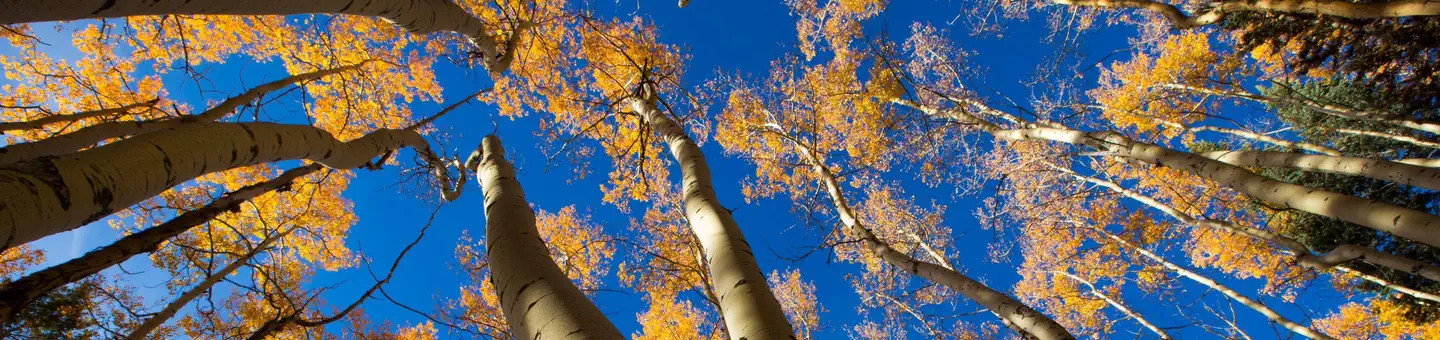 Jacks Creek Group AreaRiver fishing5.8 mi
- Pecos RiverRiver fishing6.8 mi
- The BleachersRock climbing9.8 mi
- Cathedral RockRock climbing9.8 mi
Source: Roamze catalog (indexable pages within 10 miles, PostGIS distance)
 Glorieta MesaSummit · ~31 min drivePhoto: Patrick Alexander from Las Cruces, NM, CC0 (via Wikimedia Commons)
 Hermit PeakSummit · ~35 min drivePhoto: JerryFriedman, CC BY-SA 3.0 (via Wikimedia Commons)
 Black MesaSummit · ~35 min drivePhoto: User Em-jay-es on en.wikipedia, Public domain (via Wikimedia Commons)
 Cerro ColoradoSummit · ~44 min drivePhoto: Kent G. Budge, CC0 (via Wikimedia Commons)
 Mount ChalchihuitlSummit · ~55 min drivePhoto: Unknown authorUnknown author or not provided, Public domain (via Wikimedia Commons)
 Chicoma MountainSummit · ~1h 4m drivePhoto: JerryFriedman, CC BY-SA 3.0 (via Wikimedia Commons)
 Pueblo MesaSummit · ~1h 17m drivePhoto: Clyde Charles Brown, CC BY-SA 4.0 (via Wikimedia Commons)
 Cerro BonanzaSummit · ~53 min drivePhoto: John Phelan, CC BY 4.0 (via Wikimedia Commons)
- Redondo PeakSummit · ~4 min drive
- Penitente PeakSummit · ~4 min drive
Also worth it near here

