Capulin Trail (158)
- 10.2 mi
- round trip
- 4,708 ft
- climb
- 10,624 ft
- high point
- Out and back
- route
Caution today
Agency alerts are in effect for this area; weather is good · USFS, OpenWeather · checked 11 h ago
Is Capulin Trail (158) open right now?
Alert in the area
The Forest Service lists 2 alerts for Santa Fe National Forest.
Road Conditions
Agency alert covering Santa Fe National Forest · USFS · Santa Fe National Forest
Headquarters Well Area Closure on Española Ranger District
Agency alert covering Espanola Ranger District · Order 03-10-06-25-17 · USFS · Espanola Ranger District
As of · Source: USFS · Santa Fe National Forest. Agencies don't list every closure — check before you go.
Capulin Trail (158) is a moderate hike in the Espanola Ranger District of the Santa Fe National Forest in northern New Mexico, managed by the Forest Service. The trail is an out-and-back route that starts at about 8,245 feet and climbs to a high point of 10,624 feet, with a total round-trip gain of about 4,708 feet. The climb is front-loaded, and the steepest stretch comes around mile 3.2, where the grade reaches about 30%. The trail is about 20 miles long round trip, so plan for a full day. The Borrego Trail (150) and the Borrego route both lie within a quarter mile of the start, and the Capulin and Vegas Capulin hikes are within about 2 miles. For an overnight stay, Aspen Basin campground is about 4 miles away.
Local outfitters
- Taos Mountain Outfitters41 mi away
Not on Roamze yet. Their page has how to reach them.
- Borrego Trail (150)Hiking0.1 mi
- BorregoHiking0.2 mi
- CapulinHiking1.6 mi
- Vegas CapulinHiking2 mi
- Aspen BasinCamping4.2 mi
- Big TesuqueCamping5.9 mi
- Holy Ghost GcgCamping8.6 mi
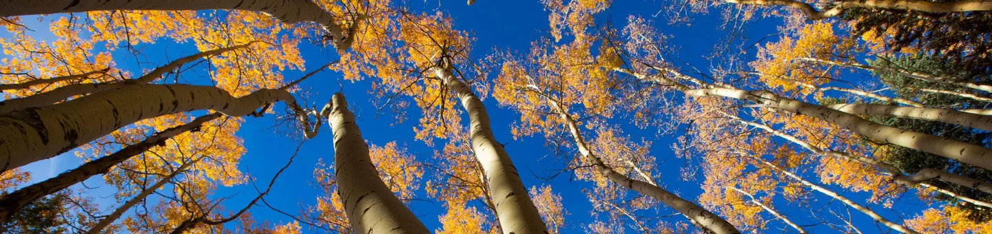 Jacks Creek Group AreaRiver fishing9.3 mi
Source: Roamze catalog (indexable pages within 10 miles, PostGIS distance)
 Upper NambeHiking · ~6 min drivePhoto: Bryan Ungard from Santa Fe, New Mexico, USA, CC BY-SA 2.0 (via Wikimedia Commons)
 Nambe LakeHiking · ~7 min drivePhoto: Bryan Ungard from Santa Fe, New Mexico, USA, CC BY-SA 2.0 (via Wikimedia Commons)
 Winsor Trail (254)Hiking · ~7 min drivePhoto: feverblue, CC BY-SA 2.0 (via Flickr)
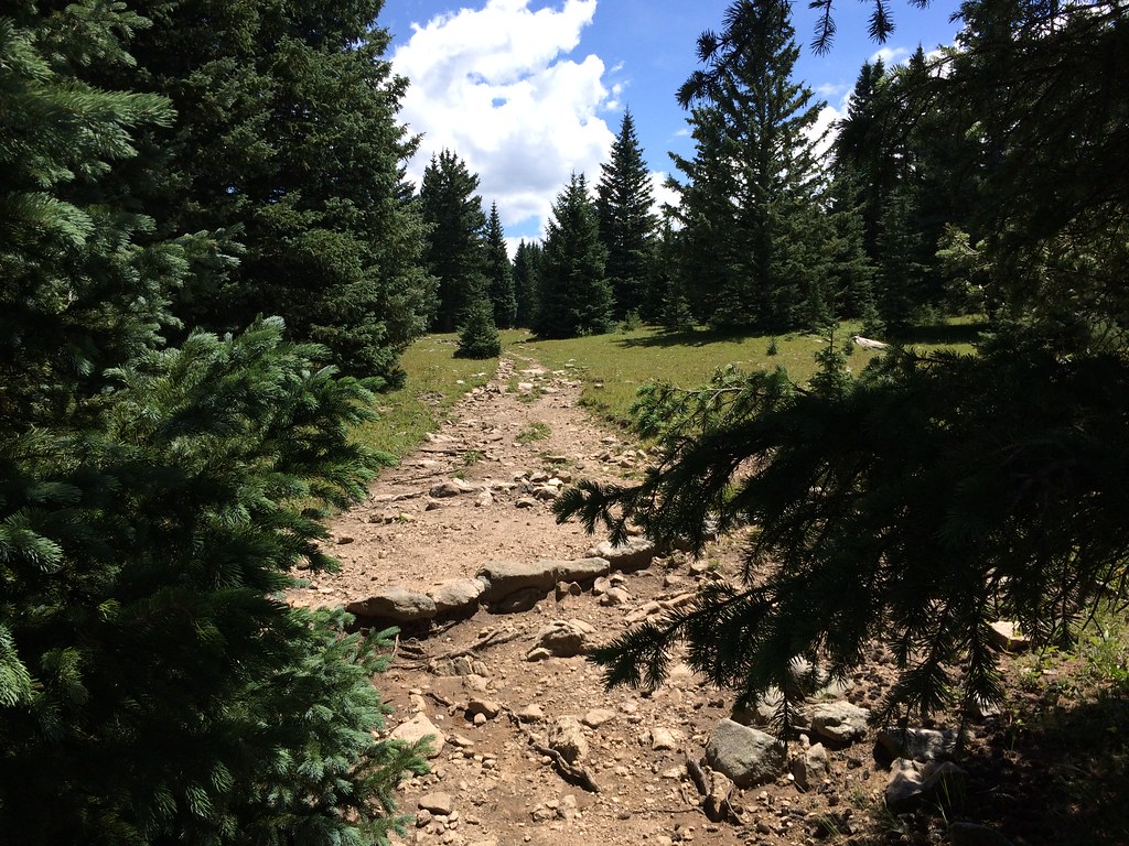 Skyline Trail (251)Hiking · ~8 min drivePhoto: feverblue, CC BY-SA 2.0 (via Flickr)
- Winsor Trail (254)Hiking · ~8 min drivePhoto: feverblue, CC BY-SA 2.0 (via Flickr)
 Baldy TrailHiking · ~7 min drivePhoto: otaghiking, CC BY-SA 2.0 (via Flickr)
- Winsor Trail (254)Hiking · ~7 min drivePhoto: Bryan Ungard from Santa Fe, New Mexico, USA, CC BY-SA 2.0 (via Wikimedia Commons)
- Ravens RidgeHiking · ~9 min drivePhoto: Bryan Ungard from Santa Fe, New Mexico, USA, CC BY-SA 2.0 (via Wikimedia Commons)
 Norski Trail (255)Hiking · ~8 min drivePhoto: feverblue, CC BY-SA 2.0 (via Flickr)
- Redondo Peak RouteHiking · ~7 min drivePhoto: otaghiking, CC BY-SA 2.0 (via Flickr)

Map and trail data © OpenStreetMap contributors
