Tesuque Creek
 Photo: steveilott, CC BY 2.0 (via Flickr)
- 7.0 mi
- round trip
- 2,680 ft
- climb
- 11,834 ft
- high point
- Out and back
- route
Caution at last check
Agency alerts are in effect for this area; weather is good · USFS, OpenWeather · checked 19 h ago
Is Tesuque Creek open right now?
Alert in the area
The Forest Service lists 2 alerts for Santa Fe National Forest.
Road Conditions
Agency alert covering Santa Fe National Forest · USFS · Santa Fe National Forest
Headquarters Well Area Closure on Española Ranger District
Agency alert covering Espanola Ranger District · Order 03-10-06-25-17 · USFS · Espanola Ranger District
As of · Source: USFS · Santa Fe National Forest. Agencies don't list every closure — check before you go.
Tesuque Creek is a hard hike in the Espanola Ranger District of the Santa Fe National Forest in northern New Mexico, about 7 miles long with a one-way elevation gain of 2,680 feet. The trail starts at a low point of about 9,137 feet and climbs to a high point of about 11,834 feet, making it a steep out-and-back route. The trail is on natural surface and is open to bikes, according to the Forest Service's trail records. The open season runs from June 1 to October 1, so plan your trip for late spring through early fall. Big Tesuque campground and the Tesuque Creek Trail (152) for mountain biking both sit about a mile away. The Windsor Trail (254) is under a mile off, and the Norski Trail (255) for cross-country skiing is about 1.4 miles away.
Local outfitters
- Taos Mountain Outfitters46 mi away
Not on Roamze yet. Their page has how to reach them.
Keep exploring — more trails worth the drive
Photo: steveilott, CC BY 2.0 (via Flickr)Windsor Trail (254)
~1 min drive
1.62-mile out-and-back trail in New Mexico with 388 ft elevation gain/loss
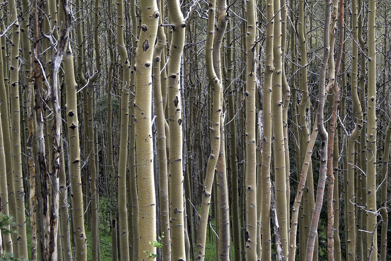 Photo: awsheffield, CC BY 2.0 (via Flickr)
Galbaldon Trail
~5 min drive
2.72-mile out-and-back trail in New Mexico with 1,515 ft elevation gain and loss.
 Photo: feverblue, CC BY-SA 2.0 (via Flickr)
Winsor Trail (254)
~3 min drive
8.64-mile out-and-back trail in New Mexico with 3,063 ft elevation gain and loss.
 Photo: Bryan Ungard from Santa Fe, New Mexico, USA, CC BY-SA 2.0 (via Wikimedia Commons)
Ravens Ridge
~6 min drive
4.18-mile out-and-back trail in New Mexico with 1,815 ft elevation gain
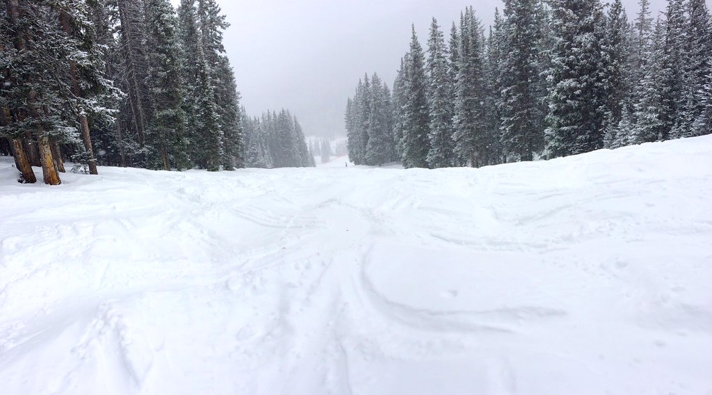 Photo: feverblue, CC BY-SA 2.0 (via Flickr)
Tesuque Creek Trail (152)
~2 min drive
0.80-mile out-and-back trail with 157 ft gain in New Mexico.
Photo: awsheffield, CC BY 2.0 (via Flickr)West Circle Trail
~5 min drive
4.3-mile out-and-back trail in New Mexico with 1,874 ft elevation gain and loss.
Photo: Bryan Ungard from Santa Fe, New Mexico, USA, CC BY-SA 2.0 (via Wikimedia Commons)Winsor Trail (254)
~6 min drive
6.74-mile out-and-back trail in New Mexico with 3,252 ft elevation gain and loss.
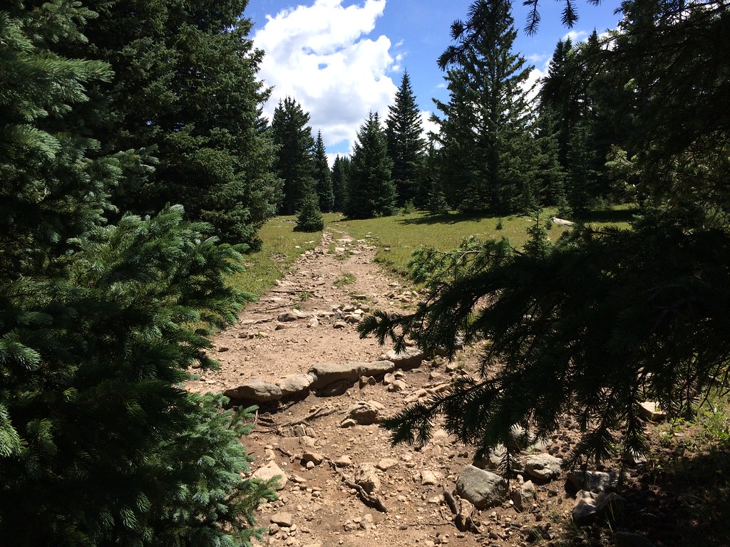 Photo: feverblue, CC BY-SA 2.0 (via Flickr)
Skyline Trail (251)
~8 min drive
3.52-mile out-and-back hike in New Mexico with 1,776 ft elevation gain.
 Photo: Michael Zanussi, CC BY 2.0 (via Flickr)
Piggyback Trail
~4 min drive
0.78-mile out-and-back trail in New Mexico with 151 ft gain.
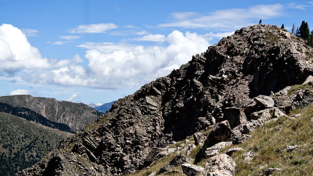 Photo: feverblue, CC BY-SA 2.0 (via Flickr)
Old Skyline Trail
~7 min drive
1.08-mile out-and-back hike in New Mexico with 442 ft elevation gain

