Canoe Hill
- 5,354 ft
- summit
- 2
- ways up
- Mar–Jun, Sep–Oct
- best months
Canoe Hill is a summit of 5,354 feet in Nevada, on Bureau of Land Management land in the Carson City District. It sits about 2.5 miles from Sparks, making it an easy addition to a day spent exploring the area around town. Spring and fall are the most comfortable times to visit. Typical averages from a nearby weather station in Reno show May highs around 72°F and October highs around 68°F, while July and August average in the low 90s. The hill sits right beside a cluster of trails. Spanish Springs Singletrack and The Zipper are both about 0.1 mile away, and Jackrabbit Trail is about 0.3 mile off. Pah Rah Interpretive Trail is roughly 1.3 miles away.
Conditions and forecast
Daily highs and lows, wind and the chance of precipitation at the summit and route start for the next 7 days, from the Open-Meteo model.
- Summit elevation
- 5,354 ft
Elevation from USGS 3D Elevation Program terrain data (about 10 m resolution).
- The ZipperModerateabout 782 ft of climbing1.8 mi round trip
- Spanish Springs SingletrackEasyabout 102 ft of climbing2.8 mi
Compare the routes The Zipper Spanish Springs Singletrack Climbing About 782 ft About 102 ft Round trip 1.8 mi 2.8 mi Difficulty Moderate Easy Terrain Hike Hike Map © Mapbox © OpenStreetMap contributors Questions about Canoe Hill
How tall is Canoe Hill?
5,354 ft (1,632 m).
How many routes go to the summit of Canoe Hill?
2: The Zipper and Spanish Springs Singletrack.
What is the shortest route up Canoe Hill?
The Zipper, about 1.8 mi round trip.
 Mount Rose10,773 ft · Nevada1 route21 mi awayPhoto: Mr. Richard from Fair Oaks, USA, CC BY 2.0 (via Wikimedia Commons)
- Mount Houghton10,484 ft · Nevada1 route22 mi away
 Relay Peak10,323 ft · Nevada2 routes23 mi awayPhoto: Mitch Barrie, CC BY-SA 2.0 (via Wikimedia Commons)
- Babbitt Peak8,757 ft · California1 route23 mi away
- Martis Peak8,740 ft · California1 route28 mi away
- Herlan Peak8,848 ft · Nevada1 route29 mi away
- Spanish Springs SingletrackHiking0.1 mi
- The ZipperMountain biking0.1 mi
- Jackrabbit TrailHiking0.3 mi
- Pah Rah Interpretive TrailHiking1.3 mi
- Reno BoulderingRock climbing5.5 mi
- Sun Valley Regional Park (Lizard Peak)Rock climbing6.8 mi
- Comstock QuarryRock climbing8.4 mi
- Redrum boulderRock climbing9 mi
Source: Roamze catalog (indexable pages within 10 miles, PostGIS distance)
 Peavine PeakSummit · ~24 min drivePhoto: Ken Lund from Reno, Nevada, USA, CC BY-SA 2.0 (via Wikimedia Commons)
 Slide MountainSummit · ~37 min drivePhoto: Rick Cooper, CC BY 2.0 (via Wikimedia Commons)
- Relay PeakSummit · ~40 min drivePhoto: Mitch Barrie, CC BY-SA 2.0 (via Wikimedia Commons)
 Rose Knob PeakSummit · ~43 min drivePhoto: Ken Lund, CC BY-SA 2.5 (via Wikimedia Commons)
 Donner PeakSummit · ~1h 7m drivePhoto: Ken Lund, CC BY-SA 2.0 (via Wikimedia Commons)
 Castle PeakSummit · ~1h 7m drivePhoto: MiguelVieira, CC BY 2.0 (via Wikimedia Commons)
 Anderson PeakSummit · ~1h 9m drivePhoto: Tim Berger, CC BY 2.0 (via Wikimedia Commons)
 Tinker KnobSummit · ~1h 9m drivePhoto: Tim Berger, CC BY 2.0 (via Wikimedia Commons)
 Granite ChiefSummit · ~1h 12m drivePhoto: Tim Berger from Fair Oaks, CA, CC BY 2.0 (via Wikimedia Commons)
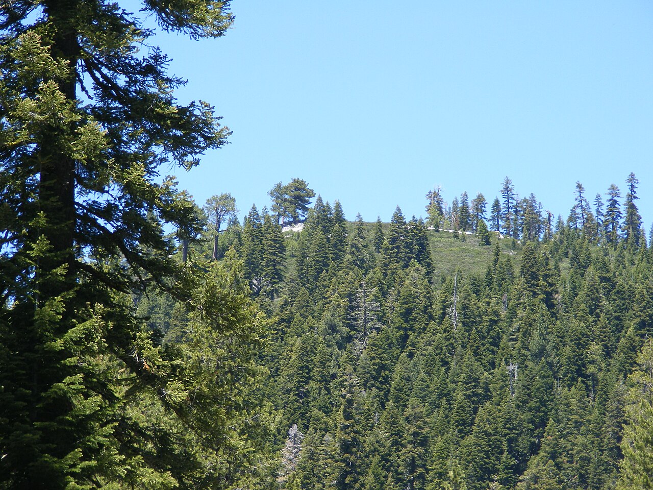 Schroeder MountainSummit · ~1h 19m drivePhoto: Pmschroeder, CC BY-SA 3.0 (via Wikimedia Commons)
Best time to visit Canoe Hill
Best months: March–June and September–October. Best months have typical highs of 55–85 °F, lows of 30 °F or warmer (32 °F where the station doesn't record snow), at most one snowy day and no more than 12 wet days.
Jan
46° / 27°
7 wet
Feb
50° / 29°
6 wet
Mar
57° / 34°
6 wet
Apr
63° / 38°
5 wet
May
72° / 46°
5 wet
Jun
83° / 54°
3 wet
Jul
93° / 61°
2 wet
Aug
91° / 60°
2 wet
Sep
82° / 53°
2 wet
Oct
68° / 43°
3 wet
Nov
54° / 33°
5 wet
Dec
45° / 27°
7 wet
Typical high / low (°F) and days with rain or snow, 1991–2020. Measured at Reno Wfo, NV, 6.8 mi away at 4,987 ft. This station doesn't record snowfall. Source: NOAA NCEI U.S. Climate Normals 1991–2020.

