The Zipper
- 0.9 mi
- round trip
- 782 ft
- climb
- 5,281 ft
- high point
- Out and back
- route
- Mar–Jun, Sep–Oct
- best months
The Zipper is a short, moderate out-and-back hike on Bureau of Land Management land in Nevada, within the Sierra Front Field Office. The trail runs about 1.8 miles, with a total elevation gain of 782 feet from the start to the high point at 5,281 feet, and the steepest stretch comes at about 0.74 miles. The most comfortable months are May and October. Typical averages from a nearby weather station show May highs around 72°F and October highs around 68°F, while July and August average in the low 90s. The trail is close to other routes. Jackrabbit Trail starts about 0.1 mile away, and Spanish Springs Singletrack is about 0.3 mile off. Pah Rah Interpretive Trail lies about 1.1 miles away, and Reno Bouldering offers climbing about 5.9 miles out.
Local outfitters
- Alpenglow Expeditions40 mi away
Not on Roamze yet. Their page has how to reach them.
Best time to go · Mar–Jun, Sep–Oct
Best time to visit The Zipper
Best months: March–June and September–October. Best months have typical highs of 55–85 °F, lows of 30 °F or warmer (32 °F where the station doesn't record snow), at most one snowy day and no more than 12 wet days.
Jan
46° / 27°
7 wet
Feb
50° / 29°
6 wet
Mar
57° / 34°
6 wet
Apr
63° / 38°
5 wet
May
72° / 46°
5 wet
Jun
83° / 54°
3 wet
Jul
93° / 61°
2 wet
Aug
91° / 60°
2 wet
Sep
82° / 53°
2 wet
Oct
68° / 43°
3 wet
Nov
54° / 33°
5 wet
Dec
45° / 27°
7 wet
Typical high / low (°F) and days with rain or snow, 1991–2020. Measured at Reno Wfo, NV, 7 mi away at 4,987 ft. This station doesn't record snowfall. Source: NOAA NCEI U.S. Climate Normals 1991–2020.
Keep exploring — more trails worth the drive
 Photo: Ken Lund from Reno, Nevada, USA, CC BY-SA 2.0 (via Wikimedia Commons)
Sparks Marina Loop Trail
~8 min drive
1.71-mile loop trail in Nevada with 191 ft gain and 199 ft loss.
 Photo: Mitch Barrie from Reno, NV, USA, CC BY-SA 2.0 (via Wikimedia Commons)
Highland Loop
~12 min drive
2.62-mile out-and-back trail in Nevada with 1,280 ft gain/loss and 4,913 ft max elevation.
 Photo: Mitch Barrie from Reno, NV, USA, CC BY-SA 2.0 (via Wikimedia Commons)
Perimeter Loop
~12 min drive
2.1-mile out-and-back trail in Nevada with 411 ft elevation gain.
Photo: Mitch Barrie from Reno, NV, USA, CC BY-SA 2.0 (via Wikimedia Commons)Highland Loop
~12 min drive
0.68-mile out-and-back trail in Nevada with 167 ft elevation gain.
Photo: Mitch Barrie from Reno, NV, USA, CC BY-SA 2.0 (via Wikimedia Commons)Perimeter Loop
~13 min drive
1.56-mile out-and-back out-and-back in Nevada with 168 ft elevation gain
HIKE
Keystone Canyon
~17 min drive
A 3.30-mile moderate out-and-back hike through Nevada's rocky Keystone Canyon.
Photo: Mitch Barrie from Reno, NV, USA, CC BY-SA 2.0 (via Wikimedia Commons)South Park Loop
~13 min drive
0.6-mile out-and-back out-and-back in Nevada with 232 ft elevation gain.
 Photo: Ken Lund from Reno, Nevada, USA, CC BY-SA 2.0 (via Wikimedia Commons)
Tahoe-Pyramid Trail
~14 min drive
1.08-mile out-and-back trail in Nevada with 56 ft elevation gain and loss.
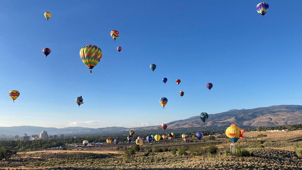 Photo: nonbinaryanalog, CC BY 2.0 (via Flickr)
Nature Trail
~16 min drive
Easy half-mile nature trail perfect for families and casual hikers.
 Photo: Matt Lavin, CC BY-SA 2.0 (via Flickr)
POWERLINE TRAIL 2
~16 min drive
2.28-mile out-and-back hike in Nevada with 330 ft elevation gain.
Route details
- Distance
- 0.9 mi round trip
- Climbing
- About 782 ft
- Summit
- 5,354 ft
- Difficulty
- Moderate
- Time
- About 0.5 hours
Other routes up Canoe Hill
Questions about this route
How long is the The Zipper on Canoe Hill?
About 0.9 mi round trip.
How much elevation gain is on the The Zipper?
About 782 ft of climbing round trip.
How hard is the The Zipper?
It is rated moderate.
How long does the The Zipper take?
About 0.5 hours round trip.
How many routes go up Canoe Hill?
2: The Zipper and Spanish Springs Singletrack.
Conditions and forecast on Canoe Hill
Daily highs and lows, wind and the chance of precipitation at the summit and route start for the next 7 days, from the Open-Meteo model.
Map and trail data © OpenStreetMap contributors
