Red Rock Canyon Campground
Campground
Sites open the weekend of Nov 13 on Recreation.gov
 Photo: Tom Hilton, CC BY 2.0 (via Flickr)
Turtlehead Peak is a moderate hike of about 4.4 miles on an out-and-back route, with a one-way climb of roughly 1,627 feet, in Nevada's Red Rock/Sloan Field Office on Bureau of Land Management land. The trail starts at a low point of about 4,350 feet and reaches a high of about 6,310 feet. The most comfortable months for a visit are typically June through September, when typical highs at a nearby weather station run from the mid-70s to around 79°F, with lows in the low 50s. That station sits about 1,150 feet lower than the peak, so temperatures on top run cooler. The trail begins right next to several climbing areas, including Parking Lot Area, Sandy Corridor and Grindhouse, The, all within a tenth of a mile. For more hiking, Calico Tanks Trail lies about 0.2 miles away, and Red Rock Canyon Campground is about 4.4 miles off.
Red Rock Canyon Campground
Campground
Places © OpenStreetMap contributors
More in Sandy ValleyBest months: May–October. Best months have typical highs of 55–85 °F, lows of 30 °F or warmer (32 °F where the station doesn't record snow), at most one snowy day and no more than 12 wet days.
Jan
44° / 22°
6 wet
Feb
44° / 22°
6 wet
Mar
49° / 26°
6 wet
Apr
55° / 30°
4 wet
May
63° / 37°
4 wet
Jun
74° / 46°
2 wet
Jul
79° / 52°
5 wet
Aug
78° / 52°
6 wet
Sep
72° / 44°
4 wet
Oct
62° / 35°
3 wet
Nov
51° / 27°
4 wet
Dec
44° / 21°
5 wet
Typical high / low (°F) and days with rain or snow, 1991–2020. Measured at Mt Charleston Fire Stn, NV, 12.7 mi away at 7,460 ft. The station sits about 1,100 ft higher than this place, so expect it a little warmer here. This station doesn't record snowfall. Source: NOAA NCEI U.S. Climate Normals 1991–2020.
 Photo: Alexander Hatley, CC BY 2.0 (via Flickr)
Calico Tanks Trail
Next door
2.13-mile out-and-back trail in Nevada with 354 ft of elevation gain.
 Photo: joannapoe, CC BY-SA 2.0 (via Flickr)
Calico Hills Trail
~2 min drive
3.53-mile lollipop trail in Nevada with 712 ft elevation gain.
 Photo: joannapoe, CC BY-SA 2.0 (via Flickr)
Grand Circle Trail
~4 min drive
11.51-mile out-and-back hike in Nevada with 817 ft elevation gain.
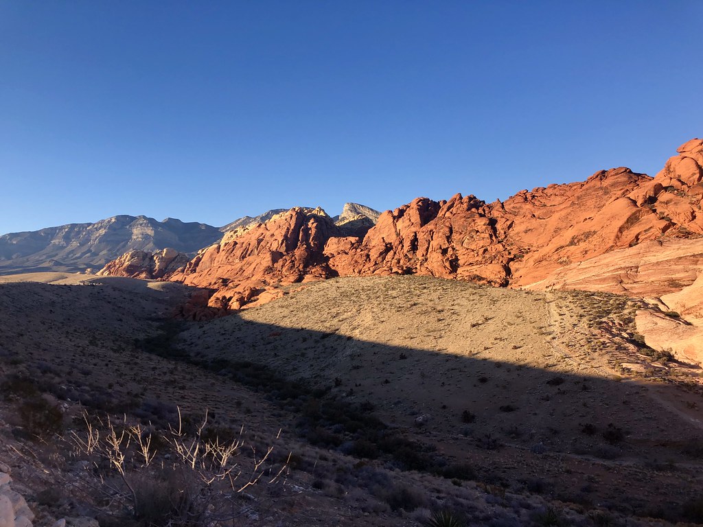 Photo: Tom Hilton, CC BY 2.0 (via Flickr)
Guardian Angel
~3 min drive
1.10-mile out-and-back trail in Nevada with 404 ft of elevation gain.
 Photo: joannapoe, CC BY-SA 2.0 (via Flickr)
Moenkopi Loop
~4 min drive
3.01-mile out-and-back trail in Nevada with 154 ft of elevation gain.
 Photo: lgoub, CC BY 2.0 (via Flickr)
White Rock Loop
~5 min drive
6.06-mile out-and-back trail in Nevada with 1,288 ft elevation gain.
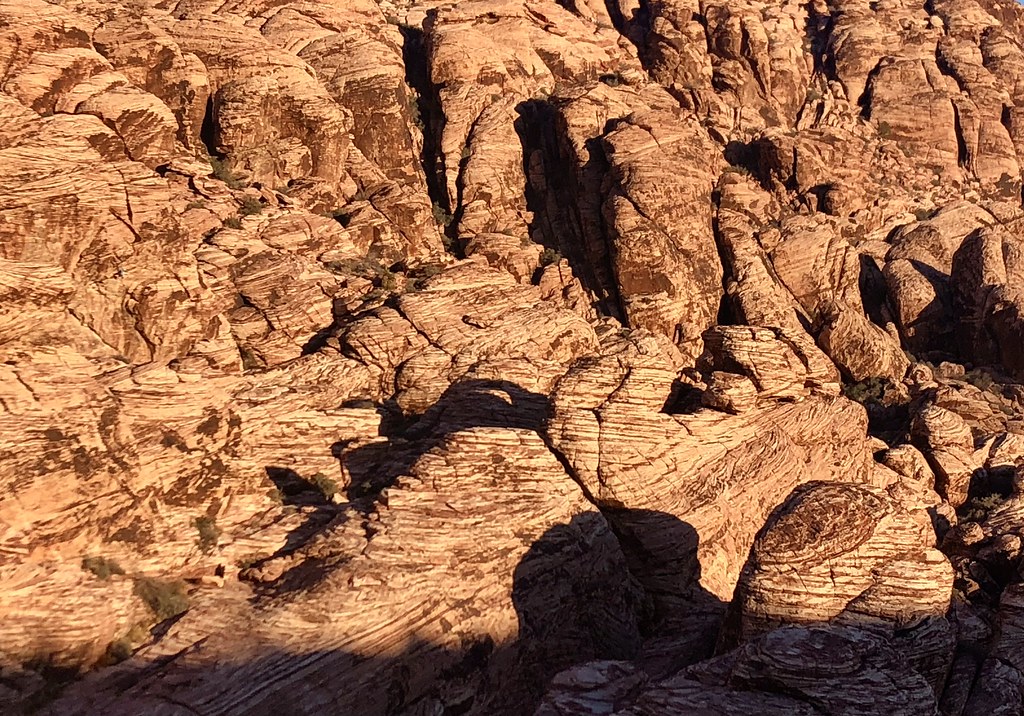 Photo: Tom Hilton, CC BY 2.0 (via Flickr)
Calico Basin Trail
~3 min drive
1.50-mile out-and-back trail in Nevada with 47 ft gain.
 Photo: Hermann Luyken, CC0 (via Wikimedia Commons)
Calico Ii Trail
~4 min drive
4.98-mile out-and-back hike in Nevada with 571 ft elevation gain.
Photo: Tom Hilton, CC BY 2.0 (via Flickr)Girl Scout Trail
~3 min drive
1.24-mile out-and-back hike in Nevada with 40 ft of elevation gain.
 Photo: joannapoe, CC BY-SA 2.0 (via Flickr)
Unnamed BLM Trail
~5 min drive
2.73-mile out-and-back trail in Nevada with 244 ft gain
About 4.4 mi round trip from Turtlehead Peak Trailhead (about 4,353 ft).
About 1,627 ft of climbing round trip.
It is rated moderate.
Turtlehead Peak Trailhead (about 4,353 ft).
About 2.5 hours round trip.
Daily highs and lows, wind and the chance of precipitation at the summit and route start for the next 7 days, from the Open-Meteo model.


