
Mountain · 1 route
Turtlehead Mountain
6,322 ft · Nevada
Photo: Stan Shebs, CC BY-SA 3.0 (via Wikimedia Commons)
- Summit
- 6,322 ft
- Routes
- 1 way up
- Managed by
- Bureau of Land Management
Route up Turtlehead Mountain
About Turtlehead Mountain
Turtlehead Mountain is a summit of 6,322 feet in Nevada's La Madre Mountain Wilderness, within the BLM's Red Rock/Sloan Field Office. The nearest town is Summerlin South, about 7 miles away. Summer is the most comfortable time to visit. Typical averages from a nearby weather station run to highs near 74°F in June and 79°F in July, with lows around 50°F. That station sits roughly 1,100 feet higher than the summit, so expect warmer temperatures at Turtlehead. The peak sits close to several climbing areas, including The Secret 13 Wall about 0.7 miles away and Monstro's Gaping Maw about 0.8 miles off. Turtlehead Peak is a hike about a mile away, and Calico Tanks Trail is about 1.3 miles away.
Forecast on Turtlehead Mountain
Daily highs and lows, wind and the chance of precipitation at the summit and turtlehead peak trailhead for the next 7 days, from the Open-Meteo model.
Questions about Turtlehead Mountain
How tall is Turtlehead Mountain?
6,322 ft (1,927 m).
How many routes go to the summit of Turtlehead Mountain?
One: Turtlehead Peak.
Where do the routes up Turtlehead Mountain start?
Turtlehead Peak starts at Turtlehead Peak Trailhead (about 4,353 ft).
Mountains nearby
 Charleston Peak11,918 ft · Nevada3 routes15 mi awayPhoto: Stan Shebs, CC BY-SA 3.0 (via Wikimedia Commons)
- Corn Creek Dunes2,959 ft · Nevada1 route19 mi away
 Gass Peak6,938 ft · Nevada1 route21 mi awayPhoto: VegasScorpion, CC BY-SA 3.0 (via Wikimedia Commons)
- Black Mountain5,092 ft · Nevada3 routes28 mi away
- Hayford Peak9,913 ft · Nevada1 route36 mi away
 Fortification Hill3,714 ft · Arizona1 route44 mi awayPhoto: unknown NPS photographer, Public domain (via Wikimedia Commons)
Facts about this place
When to go
Best time to go: May–Oct. The mildest months here, with typical highs of 62–79°F and lows of 35–52°F.
Typical monthly averages (not a forecast) from the Mt Charleston Fire Stn, NV weather station, 12 mi away. High / low in °F.
- Jan44° high22° low
- Feb44° high22° low
- Mar49° high26° low
- Apr55° high30° low
- May63° high37° low
- Jun74° high46° low
- Jul79° high52° low
- Aug78° high52° low
- Sep72° high44° low
- Oct62° high35° low
- Nov51° high27° low
- Dec44° high21° low
The station sits about 1,100 ft higher than this spot, so expect it to run a little warmer here.
Where it is
- La Madre Mountain Wilderness · Wilderness
- Red Rock/Sloan Field Office · Bureau of Land Management
- Nearest town
- Summerlin South, Nevada · 7.4 mi
- Managed by
- Bureau of Land Management
Source: Wilderness.net boundaries; USGS PAD-US 4.1; USGS GNIS populated places
Nearby
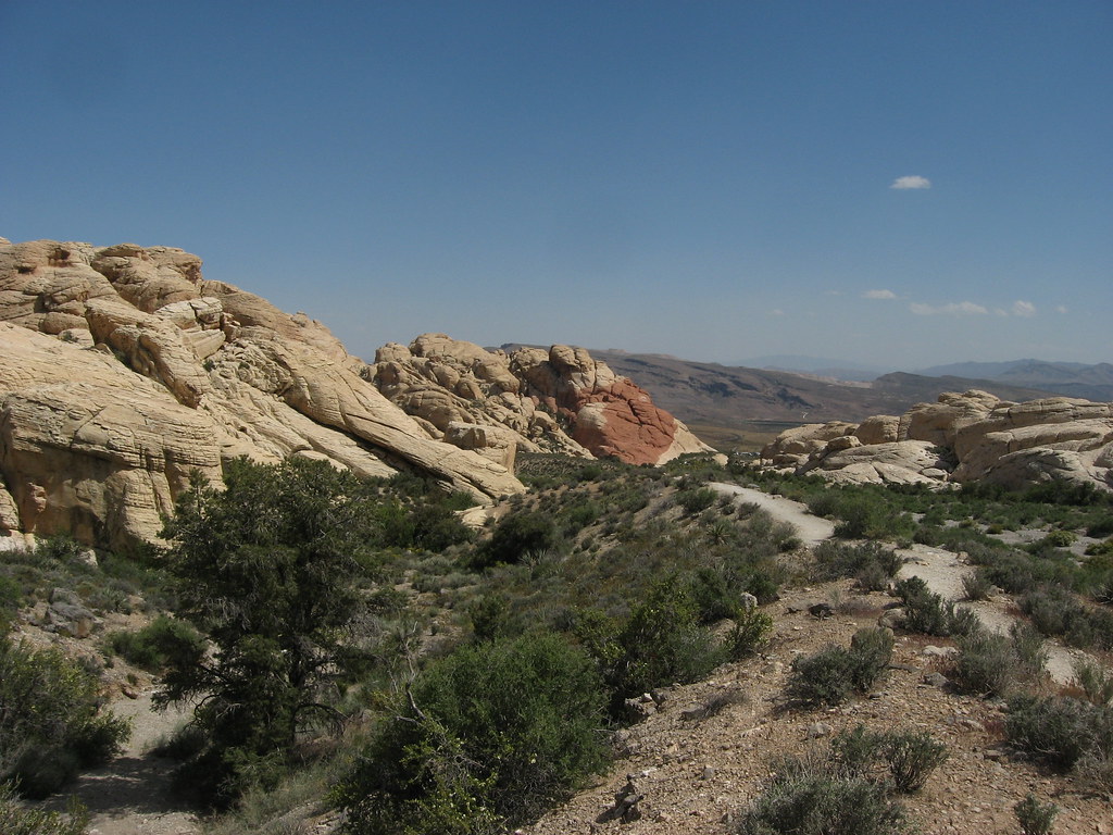 The Secret 13 WallRock climbingPhoto: Ken Lund, CC BY-SA 2.0 (via Flickr)0.7 mi
- Monstro's Gaping MawRock climbingPhoto: Ken Lund, CC BY-SA 2.0 (via Flickr)0.8 mi
 Vaya con QuesoRock climbingPhoto: cifraser1, CC BY 2.0 (via Flickr)0.8 mi
- The Trophy WallRock climbingPhoto: Ken Lund, CC BY-SA 2.0 (via Flickr)0.8 mi
 Turtlehead PeakHikingPhoto: Tom Hilton, CC BY 2.0 (via Flickr)1.1 mi
 Calico Tanks TrailHikingPhoto: Alexander Hatley, CC BY 2.0 (via Flickr)1.3 mi
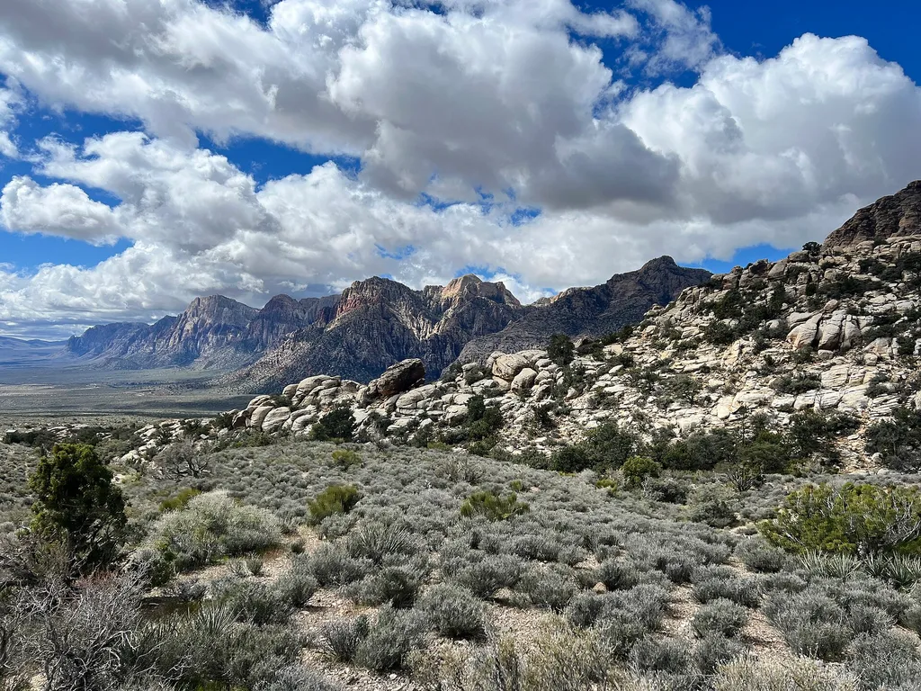 Keystone Thrust TrailHikingPhoto: BLM Nevada — Wikimedia Commons (Public domain)1.8 mi
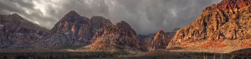 Red Rock Canyon CampgroundCampingPhoto: Recreation.gov (RIDB) / public domain4.8 mi
Source: Roamze catalog (indexable pages within 10 miles, PostGIS distance)
Best time to visit Turtlehead Mountain
Best months: May–October. Best months have typical highs of 55–85 °F, lows of 30 °F or warmer (32 °F where the station doesn't record snow), at most one snowy day and no more than 12 wet days.
Jan
44° / 22°
6 wet
Feb
44° / 22°
6 wet
Mar
49° / 26°
6 wet
Apr
55° / 30°
4 wet
May
63° / 37°
4 wet
Jun
74° / 46°
2 wet
Jul
79° / 52°
5 wet
Aug
78° / 52°
6 wet
Sep
72° / 44°
4 wet
Oct
62° / 35°
3 wet
Nov
51° / 27°
4 wet
Dec
44° / 21°
5 wet
Typical high / low (°F) and days with rain or snow, 1991–2020. Measured at Mt Charleston Fire Stn, NV, 12.4 mi away at 7,460 ft. The station sits about 1,100 ft higher than this place, so expect it a little warmer here. This station doesn't record snowfall. Source: NOAA NCEI U.S. Climate Normals 1991–2020.
