Red Rock Canyon Campground
Campground
Sites open the weekend of Nov 13 on Recreation.gov
 Photo: joannapoe, CC BY-SA 2.0 (via Flickr)
Calico Hills Trail is a 3.5-mile loop on Bureau of Land Management land in the Red Rock/Sloan Field Office of Nevada. The route rises from a low point of 3,686 feet to a high of 4,324 feet, a total climb of 712 feet. It is a moderate hike, and it works well as a base for exploring the surrounding rock and trails. Spring and fall are the most comfortable times to go. At a nearby weather station, typical averages run from highs around 70°F in April to 75°F in October, while July and August average highs near 95°F. That station sits about 540 feet lower than the high point of the trail, so temperatures on the route run a little cooler. The trail sits right beside the climbing areas of Second Pullout (Calico II) and Magic Bus, each about 0.1 mile away. Calico Basin Trail is about half a mile off, and Red Rock Canyon Campground is about 3.4 miles away.
Red Rock Canyon Campground
Campground
Places © OpenStreetMap contributors
More in Sandy ValleyBest months: February–May and October–November. Best months have typical highs of 55–85 °F, lows of 30 °F or warmer (32 °F where the station doesn't record snow), at most one snowy day and no more than 12 wet days.
Jan
53° / 32°
4 wet
Feb
56° / 35°
5 wet
Mar
64° / 41°
4 wet
Apr
70° / 47°
2 wet
May
80° / 56°
1 wet
Jun
90° / 66°
1 wet
Jul
95° / 73°
2 wet
Aug
94° / 72°
2 wet
Sep
87° / 62°
2 wet
Oct
75° / 50°
2 wet
Nov
62° / 38°
2 wet
Dec
52° / 31°
3 wet
Typical high / low (°F) and days with rain or snow, 1991–2020. Measured at Red Rock Canyon - Spg Mt Rch S, NV, 6 mi away at 3,780 ft. The station sits about 500 ft lower than this place, so expect it a little cooler here. This station doesn't record snowfall. Source: NOAA NCEI U.S. Climate Normals 1991–2020.
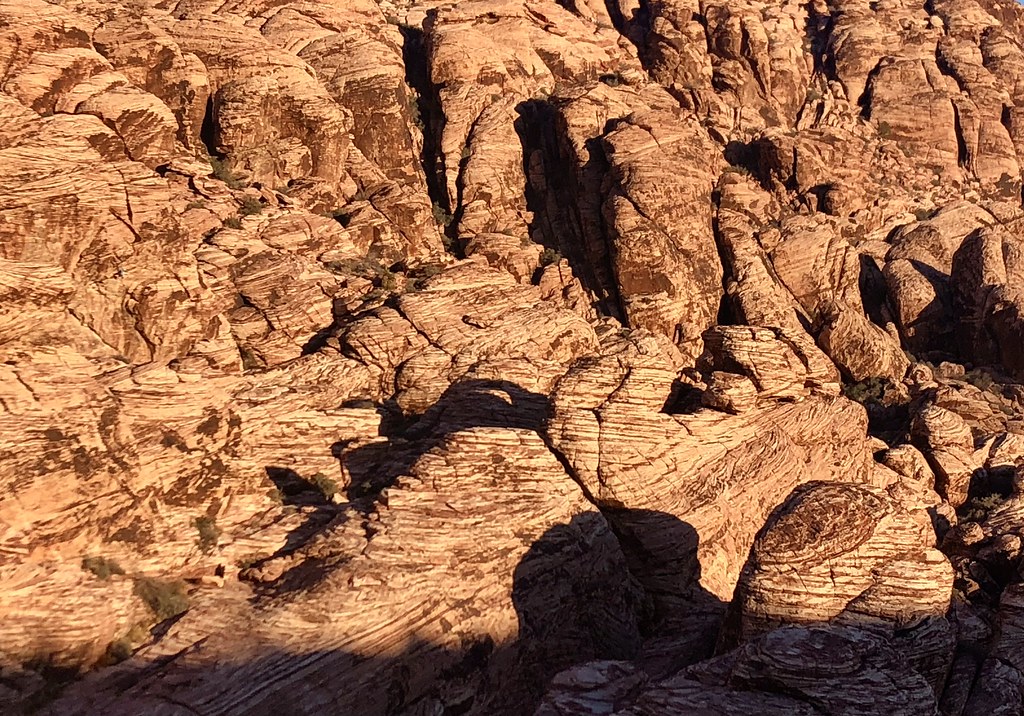 Photo: Tom Hilton, CC BY 2.0 (via Flickr)
Calico Basin Trail
Next door
1.50-mile out-and-back trail in Nevada with 47 ft gain.
 Photo: Tom Hilton, CC BY 2.0 (via Flickr)
Turtlehead Peak
~2 min drive
4.39-mile out-and-back hike to Turtlehead Peak in Nevada with 1,627 ft gain.
 Photo: joannapoe, CC BY-SA 2.0 (via Flickr)
Grand Circle Trail
~5 min drive
11.51-mile out-and-back hike in Nevada with 817 ft elevation gain.
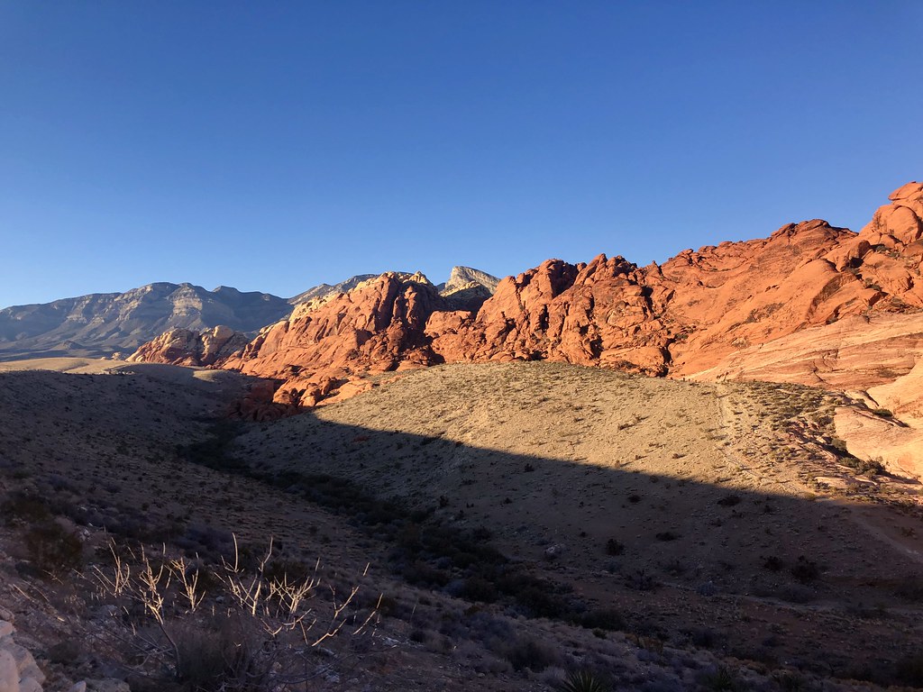 Photo: Tom Hilton, CC BY 2.0 (via Flickr)
Guardian Angel
Next door
1.10-mile out-and-back trail in Nevada with 404 ft of elevation gain.
 Photo: Hermann Luyken, CC0 (via Wikimedia Commons)
Calico Ii Trail
~2 min drive
4.98-mile out-and-back hike in Nevada with 571 ft elevation gain.
 Photo: lgoub, CC BY 2.0 (via Flickr)
White Rock Loop
~6 min drive
6.06-mile out-and-back trail in Nevada with 1,288 ft elevation gain.
Photo: Tom Hilton, CC BY 2.0 (via Flickr)Girl Scout Trail
~1 min drive
1.24-mile out-and-back hike in Nevada with 40 ft of elevation gain.
 Photo: joannapoe, CC BY-SA 2.0 (via Flickr)
Moenkopi Loop
~2 min drive
3.01-mile out-and-back trail in Nevada with 154 ft of elevation gain.
 Photo: Corey Leopold, CC BY 2.0 (via Flickr)
Ash Spring Trail
~2 min drive
0.9-mile out-and-back hike in Nevada with 166 ft elevation gain.
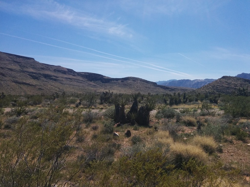 Photo: Lukáš Lalinský, CC BY-SA 2.0 (via Flickr)
Brokeback Mountain
~4 min drive
7.92-mile out-and-back trail in Nevada with 1,027 ft elevation gain.
Also worth it near here
Map and trail data © OpenStreetMap contributors

