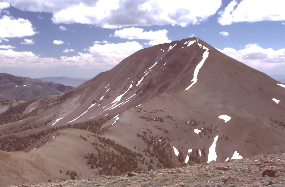
Reese River Trail
- 11.3 mi
- round trip
- 691 ft
- climb
- 7,623 ft
- high point
- Out and back
- route
- Jun–Aug
- best months
Is Reese River Trail open right now?
Closure in the area
There's a closure order in Humboldt-Toiyabe National Forest. It doesn't name Reese River Trail, so check the source for the area it covers.
Elephant Fire Closure
Agency closure covering Humboldt-Toiyabe National Forest · Order 04-17-26-01-04 · USFS · Humboldt-Toiyabe National Forest
Area, Road, and Trail Closures (Spring Mountains National Recreation Area)
Agency alert covering Humboldt-Toiyabe National Forest · Order 04-17-25-04 · USFS · Humboldt-Toiyabe National Forest
Year-Round Fire Restrictions (Spring Mountains National Recreation Area)
Agency alert covering Humboldt-Toiyabe National Forest · Order 04-17-24-01 · USFS · Humboldt-Toiyabe National Forest
Vehicle Snow Chain Requirements during Inclement Weather (Spring Mountains National Recreation Area)
Agency alert covering Humboldt-Toiyabe National Forest · Order 04-17-23-01 · USFS · Humboldt-Toiyabe National Forest
Rainbow Canyon Flood Diversion Structure Closure (Spring Mountains National Recreation Area)
Agency alert covering Humboldt-Toiyabe National Forest · Order 04-17-15-01 · USFS · Humboldt-Toiyabe National Forest
As of · Source: USFS · Humboldt-Toiyabe National Forest. Agencies don't list every closure — check before you go.
Reese River Trail is an 11.3-mile out-and-back hike in Nevada's Arc Dome Wilderness, part of the Austin-Tonopah Ranger District of the Humboldt-Toiyabe National Forest. The trail rises from about 7,063 feet to about 7,623 feet, a climb of 691 feet one way, and is rated moderate. The trail is on natural surface and is open year-round. Horses are allowed, but bikes are not. The Forest Service manages the land. For comfortable weather, late spring and early fall are the sweet spots. Typical averages from a nearby weather station show May highs around 65°F and September highs around 76°F, with July the warmest month at about 85°F. That station sits roughly 1,200 feet lower than the trail's high point, so temperatures on the trail run cooler. Nearby, Cow Canyon and the Toiyabe Crest Trail are both within about 4 miles. Columbine Campground, about 6 miles away, offers a place to stay.
Best time to go · Jun–Aug
Best time to visit Reese River Trail
Best months: June–August. Best months have typical highs of 55–85 °F, lows of 30 °F or warmer (32 °F where the station doesn't record snow), at most one snowy day and no more than 12 wet days.
Jan
42° / 11°
5 wet
Feb
45° / 14°
5 wet
Mar
51° / 20°
6 wet
Apr
57° / 23°
6 wet
May
65° / 30°
6 wet
Jun
76° / 35°
4 wet
Jul
85° / 41°
3 wet
Aug
83° / 39°
3 wet
Sep
76° / 31°
3 wet
Oct
64° / 22°
3 wet
Nov
51° / 15°
4 wet
Dec
42° / 10°
5 wet
Typical high / low (°F) and days with rain or snow, 1991–2020. Measured at Reese River Ione 13ne, NV, 15.3 mi away at 6,413 ft. The station sits about 1,200 ft lower than this place, so expect it a little cooler here. This station doesn't record snowfall. Source: NOAA NCEI U.S. Climate Normals 1991–2020.
Keep exploring — more trails worth the drive
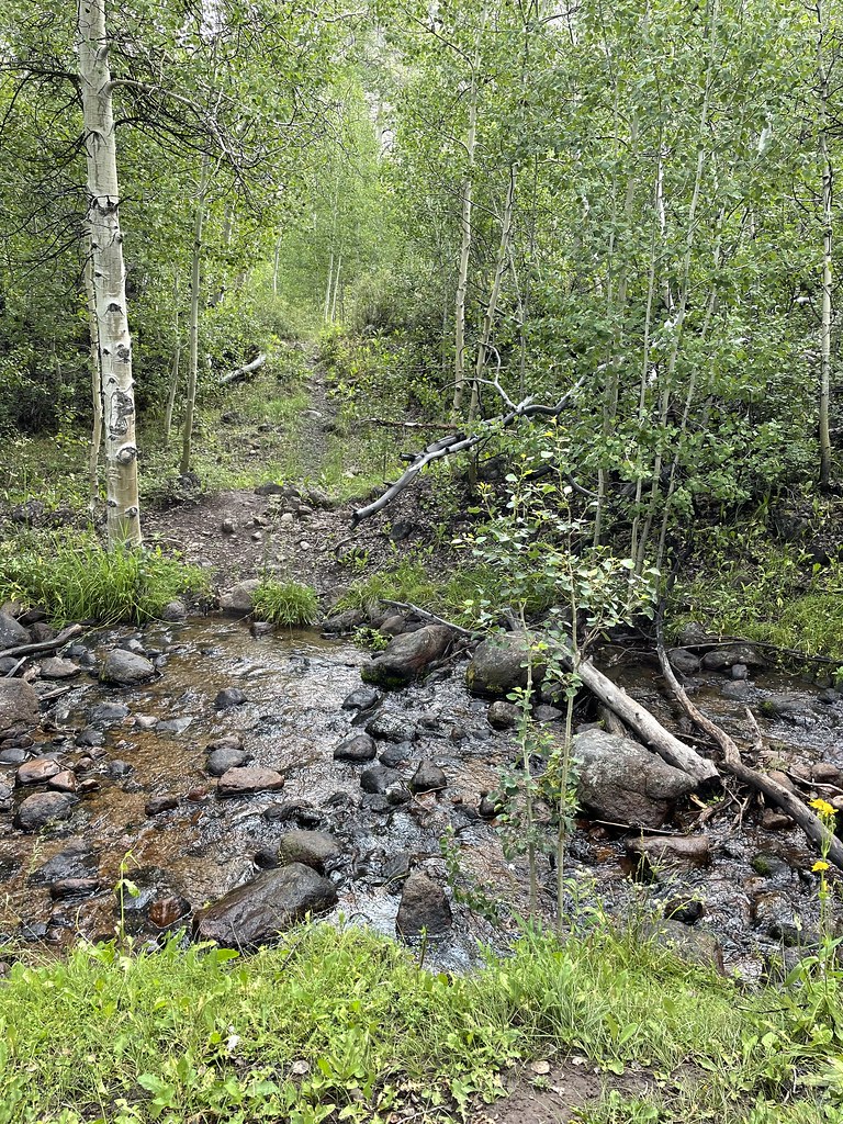 Photo: Seth Tisue, CC BY-SA 2.0 (via Flickr)
Stewart Creek
~11 min drive
5.20-mile out-and-back trail in Nevada with 1,544 ft elevation gain.
 Photo: Seth Tisue, CC BY-SA 2.0 (via Flickr)
Arc Dome Trail
~11 min drive
9.60-mile out-and-back hike in Nevada with 198 ft gain.
 Photo: Seth Tisue, CC BY-SA 2.0 (via Flickr)
Berlin-Ichthyosaur State Park Road
~13 min drive
0.84-mile out-and-back trail in Berlin-Ichthyosaur State Park, Nevada.
HIKE
Toiyabe Crest Trail
~7 min drive
16.18-mile out-and-back trail in Nevada with 4,596 ft elevation gain and loss.
 Photo: Seth Tisue, CC BY-SA 2.0 (via Flickr)
Columbine
~11 min drive
Columbine is a 4.58-mile out-and-back trail in Nevada with 1,759 feet of elevation gain.
 Photo: Seth Tisue, CC BY-SA 2.0 (via Flickr)
North Twin River Cutoff
~12 min drive
5.95-mile loop in Nevada with 2,781 ft elevation gain and loss.
Photo: Seth Tisue, CC BY-SA 2.0 (via Flickr)Adt - Nevada - S - Seg 6
~13 min drive
1.63-mile out-and-back trail in Nevada with 128 ft gain.
HIKE
TOIYABE CREST NATL REC TRAIL
~18 min drive
29.5-mile out-and-back trail in Nevada with 7,518 ft elevation gain
HIKE
Adt - Nevada - S - Seg 6
~5 min drive
2.67-mile out-and-back trail in Nevada with 79 ft gain and 631 ft loss.
HIKE
Reese River Trail
~6 min drive
5.34-mile out-and-back hike on Reese River in Nevada with 795 ft gain.