Berlin-Ichthyosaur State Park Road
 Photo: Seth Tisue, CC BY-SA 2.0 (via Flickr)
- 0.8 mi
- round trip
- 270 ft
- climb
- 6,728 ft
- high point
- Out and back
- route
- Jun–Aug
- best months
Is Berlin-Ichthyosaur State Park Road open right now?
Closure in the area
There's a closure order in Humboldt-Toiyabe National Forest. It doesn't name Berlin-Ichthyosaur State Park Road, so check the source for the area it covers.
Elephant Fire Closure
Agency closure covering Humboldt-Toiyabe National Forest · Order 04-17-26-01-04 · USFS · Humboldt-Toiyabe National Forest
Area, Road, and Trail Closures (Spring Mountains National Recreation Area)
Agency alert covering Humboldt-Toiyabe National Forest · Order 04-17-25-04 · USFS · Humboldt-Toiyabe National Forest
Year-Round Fire Restrictions (Spring Mountains National Recreation Area)
Agency alert covering Humboldt-Toiyabe National Forest · Order 04-17-24-01 · USFS · Humboldt-Toiyabe National Forest
Vehicle Snow Chain Requirements during Inclement Weather (Spring Mountains National Recreation Area)
Agency alert covering Humboldt-Toiyabe National Forest · Order 04-17-23-01 · USFS · Humboldt-Toiyabe National Forest
Rainbow Canyon Flood Diversion Structure Closure (Spring Mountains National Recreation Area)
Agency alert covering Humboldt-Toiyabe National Forest · Order 04-17-15-01 · USFS · Humboldt-Toiyabe National Forest
As of · Source: USFS · Humboldt-Toiyabe National Forest. Agencies don't list every closure — check before you go.
Berlin-Ichthyosaur State Park Road is an easy out-and-back hike of about 1.7 miles in Nevada's Humboldt-Toiyabe National Forest, on the Austin-Tonopah Ranger District. The Forest Service manages the land. It's a short, low-effort route with a steady climb of about 63 feet, from a low point of 6,654 feet to a high of 6,728 feet, and the steepest stretch comes at about 0.69 miles, with a 6% grade. Spring and fall are the most comfortable times to go. Typical averages from a nearby weather station run from highs around 65°F in May to 64°F in October, while July highs reach about 85°F and January lows drop to 11°F. Several other trails lie within a mile, including Adt - Nevada - S - Seg 6, the Berlin Townsite Loop and the Berlin Ichthyosaur Campground Access Trail. Richmond Canyon Loop is about 1.3 miles away.
Best time to go · Jun–Aug
Best time to visit Berlin-Ichthyosaur State Park Road
Best months: June–August. Best months have typical highs of 55–85 °F, lows of 30 °F or warmer (32 °F where the station doesn't record snow), at most one snowy day and no more than 12 wet days.
Jan
42° / 11°
5 wet
Feb
45° / 14°
5 wet
Mar
51° / 20°
6 wet
Apr
57° / 23°
6 wet
May
65° / 30°
6 wet
Jun
76° / 35°
4 wet
Jul
85° / 41°
3 wet
Aug
83° / 39°
3 wet
Sep
76° / 31°
3 wet
Oct
64° / 22°
3 wet
Nov
51° / 15°
4 wet
Dec
42° / 10°
5 wet
Typical high / low (°F) and days with rain or snow, 1991–2020. Measured at Reese River Ione 13ne, NV, 16.8 mi away at 6,413 ft. This station doesn't record snowfall. Source: NOAA NCEI U.S. Climate Normals 1991–2020.
Keep exploring — more trails worth the drive
Photo: Seth Tisue, CC BY-SA 2.0 (via Flickr)Cemetery Trail
~1 min drive
Quick out-and-back cemetery walk in Nevada.
 Photo: Seth Tisue, CC BY-SA 2.0 (via Flickr)
Columbine
~21 min drive
Columbine is a 4.58-mile out-and-back trail in Nevada with 1,759 feet of elevation gain.
 Photo: Seth Tisue, CC BY-SA 2.0 (via Flickr)
Arc Dome Trail
~23 min drive
9.60-mile out-and-back hike in Nevada with 198 ft gain.
HIKE
Toiyabe Crest Trail
~20 min drive
16.18-mile out-and-back trail in Nevada with 4,596 ft elevation gain and loss.
 Photo: Seth Tisue, CC BY-SA 2.0 (via Flickr)
Adt - Nevada - S - Seg 6
~1 min drive
1.89-mile out-and-back trail in Nevada with 58 ft gain.
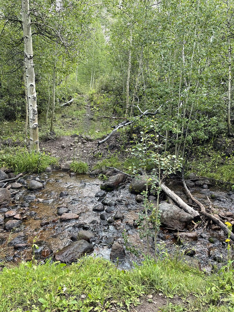 Photo: Seth Tisue, CC BY-SA 2.0 (via Flickr)
Stewart Creek
~22 min drive
5.20-mile out-and-back trail in Nevada with 1,544 ft elevation gain.
 Photo: Seth Tisue, CC BY-SA 2.0 (via Flickr)
North Twin River Cutoff
~24 min drive
5.95-mile loop in Nevada with 2,781 ft elevation gain and loss.
HIKE
TOIYABE CREST NATL REC TRAIL
~28 min drive
29.5-mile out-and-back trail in Nevada with 7,518 ft elevation gain
HIKE
Berlin Townsite Loop
~1 min drive
Easy loop through a historic Nevada mining townsite with desert views.
HIKE
National Forest Development 024 Trail
~7 min drive
5.92-mile out-and-back hike in Nevada with 808 ft gain and loss.
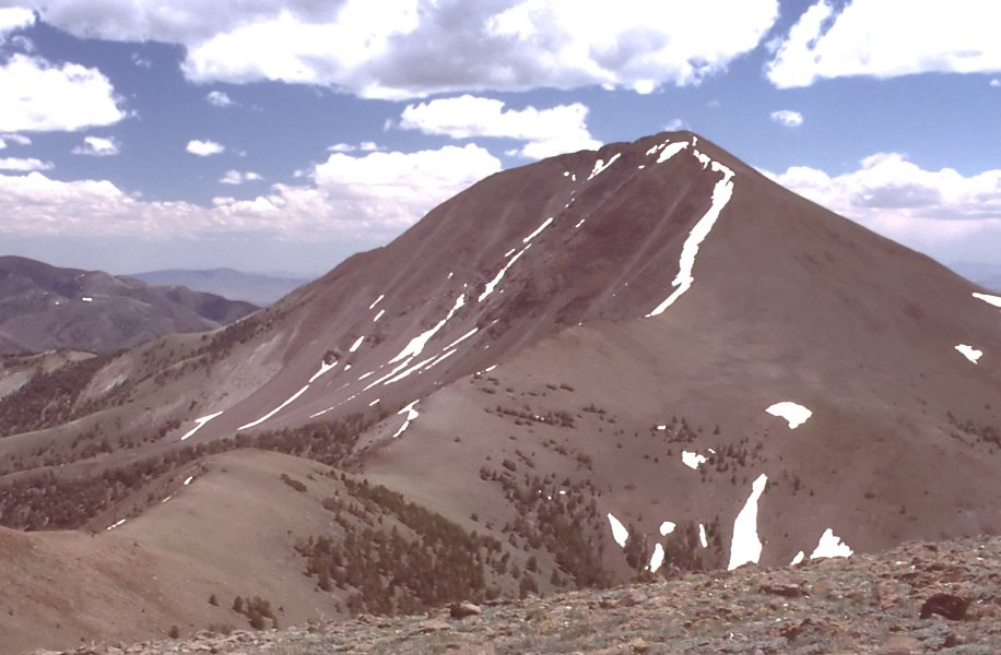
Map and trail data © OpenStreetMap contributors
