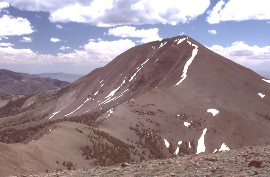
Mohawk Canyon
- 5.0 mi
- round trip
- 1,780 ft
- climb
- 9,511 ft
- high point
- Out and back
- route
Is Mohawk Canyon open right now?
Closure in the area
There's a closure order in Humboldt-Toiyabe National Forest. It doesn't name Mohawk Canyon, so check the source for the area it covers.
Elephant Fire Closure
Agency closure covering Humboldt-Toiyabe National Forest · Order 04-17-26-01-04 · USFS · Humboldt-Toiyabe National Forest
Area, Road, and Trail Closures (Spring Mountains National Recreation Area)
Agency alert covering Humboldt-Toiyabe National Forest · Order 04-17-25-04 · USFS · Humboldt-Toiyabe National Forest
Year-Round Fire Restrictions (Spring Mountains National Recreation Area)
Agency alert covering Humboldt-Toiyabe National Forest · Order 04-17-24-01 · USFS · Humboldt-Toiyabe National Forest
Vehicle Snow Chain Requirements during Inclement Weather (Spring Mountains National Recreation Area)
Agency alert covering Humboldt-Toiyabe National Forest · Order 04-17-23-01 · USFS · Humboldt-Toiyabe National Forest
Rainbow Canyon Flood Diversion Structure Closure (Spring Mountains National Recreation Area)
Agency alert covering Humboldt-Toiyabe National Forest · Order 04-17-15-01 · USFS · Humboldt-Toiyabe National Forest
As of · Source: USFS · Humboldt-Toiyabe National Forest. Agencies don't list every closure — check before you go.
Mohawk Canyon is a 5-mile out-and-back hike in the Austin-Tonopah Ranger District of Nevada's Humboldt-Toiyabe National Forest, managed by the Forest Service. The trail rises from a low point of 7,730 feet to a high of 9,511 feet, with a total climb of about 1,800 feet. The route is rated moderate, and the trail surface is natural, so expect a rough path rather than a paved or maintained road. Horses and bikes are both allowed, making it a good choice for riders and pack animals as well as hikers. The hike is open year-round. Plan for a full day on foot, and pair it with one of the many other trails and camps nearby. Marysville Canyon lies about 3 miles away and the Toiyabe Crest National Recreation Trail about 3.6 miles. Columbine Campground is roughly 6 miles off for an overnight stay.
Keep exploring — more trails worth the drive
 Photo: Seth Tisue, CC BY-SA 2.0 (via Flickr)
Columbine
~11 min drive
Columbine is a 4.58-mile out-and-back trail in Nevada with 1,759 feet of elevation gain.
 Photo: Seth Tisue, CC BY-SA 2.0 (via Flickr)
North Twin River Cutoff
~13 min drive
5.95-mile loop in Nevada with 2,781 ft elevation gain and loss.
 Photo: Seth Tisue, CC BY-SA 2.0 (via Flickr)
Toiyabe Crest Trail
~26 min drive
0.33-mile out-and-back hike on Toiyabe Crest Trail in Nevada.
HIKE
TOIYABE CREST NATL REC TRAIL
~6 min drive
29.5-mile out-and-back trail in Nevada with 7,518 ft elevation gain
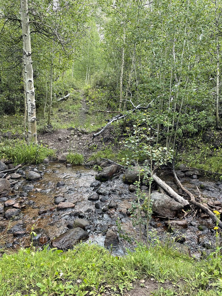 Photo: Seth Tisue, CC BY-SA 2.0 (via Flickr)
Stewart Creek
~11 min drive
5.20-mile out-and-back trail in Nevada with 1,544 ft elevation gain.
 Photo: Seth Tisue, CC BY-SA 2.0 (via Flickr)
Arc Dome Trail
~15 min drive
9.60-mile out-and-back hike in Nevada with 198 ft gain.
 Photo: Seth Tisue, CC BY-SA 2.0 (via Flickr)
Cemetery Trail
~28 min drive
Quick out-and-back cemetery walk in Nevada.
HIKE
Toiyabe Crest Trail
~15 min drive
16.23-mile out-and-back hike on Nevada's Toiyabe Crest Trail with 3,321 ft gain.
HIKE
MARYSVILLE CANYON
~6 min drive
1.94-mile out-and-back trail in Nevada with 889 ft elevation gain.
HIKE
Marysville Canyon
~5 min drive
7-mile out-and-back trail in Nevada's Marysville Canyon with 1,755 ft gain.