Kraft Mountain Loop Trail
- 3.4 mi
- distance
- 819 ft
- climb
- 4,271 ft
- high point
- Lollipop
- route
- Feb–May, Oct–Nov
- best months
Kraft Mountain Loop Trail is a 3.4-mile loop on Bureau of Land Management land in the Red Rock/Sloan Field Office of Nevada, about 2.6 miles from Red Rock Canyon Campground. The trail rises from a low point of about 3,682 feet to a high of about 4,271 feet, with a total elevation gain of 819 feet, and is rated moderate. Spring and fall are the most comfortable times to go. Typical averages from a nearby weather station show October highs around 75°F with lows near 50°F, and April highs around 70°F with lows near 47°F. That station sits a few hundred feet lower than the trail, so temperatures on the route run a little cooler. The trailhead is called Kraft Mountain Loop Trailhead, and the trip is estimated to take about 1.5 hours. Horses are allowed, and the surface is natural. Bikes are not. The trail makes an easy pairing with other outings close by. Gene's Trail and Monkey Bar Boulder are each about 0.1 mile away, and Red Rock Canyon Campground is about 2.6 miles off.
Best time to go · Feb–May, Oct–Nov
Best time to visit Kraft Mountain Loop Trail
Best months: February–May and October–November. Best months have typical highs of 55–85 °F, lows of 30 °F or warmer (32 °F where the station doesn't record snow), at most one snowy day and no more than 12 wet days.
Jan
53° / 32°
4 wet
Feb
56° / 35°
5 wet
Mar
64° / 41°
4 wet
Apr
70° / 47°
2 wet
May
80° / 56°
1 wet
Jun
90° / 66°
1 wet
Jul
95° / 73°
2 wet
Aug
94° / 72°
2 wet
Sep
87° / 62°
2 wet
Oct
75° / 50°
2 wet
Nov
62° / 38°
2 wet
Dec
52° / 31°
3 wet
Typical high / low (°F) and days with rain or snow, 1991–2020. Measured at Red Rock Canyon - Spg Mt Rch S, NV, 7 mi away at 3,780 ft. This station doesn't record snowfall. Source: NOAA NCEI U.S. Climate Normals 1991–2020.
Keep exploring — more trails worth the drive
 Photo: Jim Morefield, CC BY-SA 2.0 (via Flickr)
Calico Cutoff
Next door
0.78-mile out-and-back trail in Nevada with 167 ft of elevation gain.
 Photo: joannapoe, CC BY-SA 2.0 (via Flickr)
Calico Hills Trail
~3 min drive
3.53-mile lollipop trail in Nevada with 712 ft elevation gain.
 Photo: joannapoe, CC BY-SA 2.0 (via Flickr)
Grand Circle Trail
~7 min drive
11.51-mile out-and-back hike in Nevada with 817 ft elevation gain.
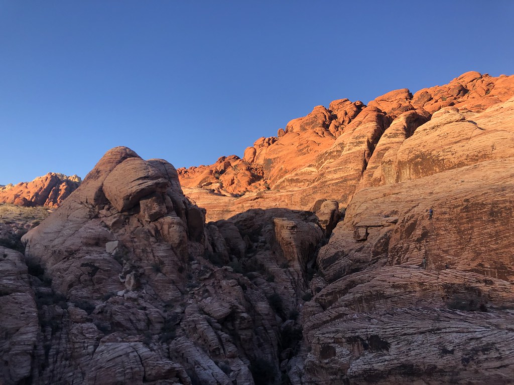 Photo: Tom Hilton, CC BY 2.0 (via Flickr)
Calico Loop
Next door
4.0-mile out-and-back trail in Nevada with 688 ft elevation gain and loss.
 Photo: Hermann Luyken, CC0 (via Wikimedia Commons)
Calico Ii Trail
~3 min drive
4.98-mile out-and-back hike in Nevada with 571 ft elevation gain.
 Photo: lgoub, CC BY 2.0 (via Flickr)
White Rock Loop
~8 min drive
6.06-mile out-and-back trail in Nevada with 1,288 ft elevation gain.
 Photo: Corey Leopold, CC BY 2.0 (via Flickr)
Ash Spring Trail
~1 min drive
0.9-mile out-and-back hike in Nevada with 166 ft elevation gain.
 Photo: joannapoe, CC BY-SA 2.0 (via Flickr)
Moenkopi Loop
~4 min drive
3.01-mile out-and-back trail in Nevada with 154 ft of elevation gain.
 Photo: RuggyBearLA, CC BY-SA 2.0 (via Flickr)
Calico Inner Loop
~1 min drive
1.07-mile loop in Nevada with 312 ft elevation gain.
 Photo: Tom Hilton, CC BY 2.0 (via Flickr)
Turtlehead Peak
~4 min drive
4.39-mile out-and-back hike to Turtlehead Peak in Nevada with 1,627 ft gain.


