West Fork Jones Creek
- 2.0 mi
- round trip
- 419 ft
- climb
- 6,082 ft
- high point
- Out and back
- route
- May–Sep
- best months
Is West Fork Jones Creek open right now?
Alert in the area
The Forest Service lists an alert for Rocky Mountain Ranger District.
Camp Creek Fire Trail Closure
Agency alert covering Rocky Mountain Ranger District · Order 01-10- · USFS · Rocky Mountain Ranger District
As of · Source: USFS · Rocky Mountain Ranger District. Agencies don't list every closure — check before you go.
West Fork Jones Creek is a 2-mile out-and-back hike in the Rocky Mountain Ranger District of Helena-Lewis and Clark National Forest in Montana. The Forest Service manages the land, and the trail's natural surface and moderate climb make it a route for hikers, riders and horseback travelers alike. The trail gains about 419 feet of elevation from its low point at roughly 5,670 feet to a high of about 6,082 feet. It's rated hard, so plan for a steady pace across the roughly 2-mile route. Summer is the most comfortable time to go. Typical July highs reach about 79°F with lows near 45°F, based on averages from a nearby weather station at Gibson Dam. That station sits well below the trail, so temperatures on the route run cooler. Winters are cold, with January highs averaging around 36°F. The North Fork Teton River, a paddling stretch about half a mile away, and the Jones Creek hike at 0.7 miles round out the closest options. For an overnight base, Elko Campground is about 1.2 miles away. Climbers can head to Tears of a Clown, roughly 3.8 miles off.
Local outfitters
- Choteau Mountain View RV Campground28 mi away
Not on Roamze yet. Their page has how to reach them.
- North Fork Teton RiverCanoeing0.5 mi
- Jones CreekHiking0.7 mi
- Elko CgCamping1.2 mi
- ROUTE CREEK PASSHiking3.2 mi
- Cave Mountain CampgroundCamping3.2 mi
- West Fork CgCamping3.4 mi
- Tears of a ClownRock climbing3.8 mi
- Blow-Hard WallRock climbing5.1 mi
Source: Roamze catalog (indexable pages within 10 miles, PostGIS distance)
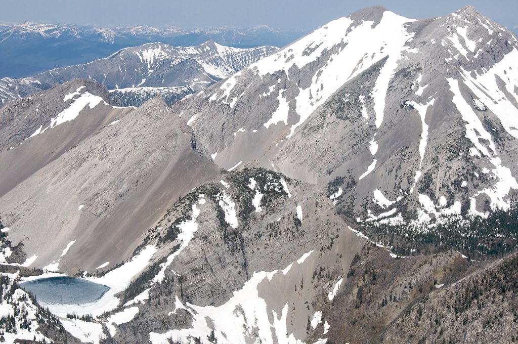 Our LakeHiking · ~12 min drivePhoto: Sam Beebe, CC BY 2.0 (via Flickr)
 Indian Head RockHiking · ~6 min drivePhoto: Sam Beebe, CC BY 2.0 (via Flickr)
- Mt Wright HikerHiking · ~6 min drive
- Headquarters CreekHiking · ~12 min drivePhoto: Sam Beebe, CC BY 2.0 (via Flickr)
- ROUTE CREEK PASSHiking · ~5 min drive
- Cow CreekHiking · ~10 min drive
- Clary CouleeHiking · ~7 min drive
- LONESOME RIDGEHiking · ~8 min drive
- Wrong RidgeHiking · ~15 min drive
- North Fork TetonHiking · ~7 min drive
Best time to visit West Fork Jones Creek
Best months: May–September. Best months have typical highs of 55–85 °F, lows of 30 °F or warmer (32 °F where the station doesn't record snow), at most one snowy day and no more than 12 wet days.
Jan
36° / 12°
5 wet
Feb
36° / 12°
6 wet
Mar
42° / 18°
7 wet
Apr
50° / 25°
7 wet
May
59° / 33°
10 wet
Jun
67° / 39°
10 wet
Jul
79° / 45°
7 wet
Aug
78° / 43°
6 wet
Sep
67° / 36°
6 wet
Oct
54° / 29°
6 wet
Nov
42° / 20°
5 wet
Dec
35° / 13°
5 wet
Typical high / low (°F) and days with rain or snow, 1991–2020. Measured at Gibson Dam, MT, 23.1 mi away at 4,590 ft. The station sits about 1,500 ft lower than this place, so expect it a little cooler here. This station doesn't record snowfall. Source: NOAA NCEI U.S. Climate Normals 1991–2020.
