Mt Wright Hiker
- 6.1 mi
- round trip
- 2,356 ft
- climb
- 8,877 ft
- high point
- Out and back
- route
Is Mt Wright Hiker open right now?
Alert in the area
The Forest Service lists an alert for Rocky Mountain Ranger District.
Camp Creek Fire Trail Closure
Agency alert covering Rocky Mountain Ranger District · Order 01-10- · USFS · Rocky Mountain Ranger District
As of · Source: USFS · Rocky Mountain Ranger District. Agencies don't list every closure — check before you go.
Mt Wright Hiker is a 6.1-mile out-and-back hike in the Rocky Mountain Ranger District of the Helena-Lewis and Clark National Forest in central Montana. It climbs from a low point of 5,714 feet to a high point of 8,877 feet, with a total elevation gain of 2,356 feet. The trail is managed by the Forest Service and is rated moderate in difficulty. The route is on natural surface and is not accessible. Bikes and horses are not allowed. The open season runs from May 1 to November 30. West Fork Campground and West Fork Cabin (w of Choteau) both sit within about half a mile of the trail. North Fork Teton and West Fork Teton are each about 1.4 miles away, and the North Fork Teton River is about 3.4 miles away.
Local outfitters
- Choteau Mountain View RV Campground32 mi away
Not on Roamze yet. Their page has how to reach them.
Keep exploring — more trails worth the drive
 Photo: Sam Beebe, CC BY 2.0 (via Flickr)
Indian Head Rock
~12 min drive
3.05-mile out-and-back trail in Montana with 8 ft of elevation gain.
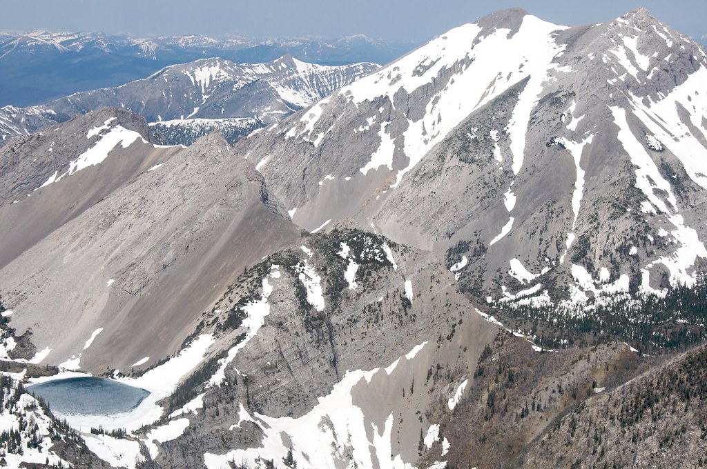 Photo: Sam Beebe, CC BY 2.0 (via Flickr)
Our Lake
~14 min drive
5.65-mile out-and-back trail in Montana with 1,336 ft elevation gain.
HIKE
Jones Creek
~7 min drive
Jones Creek is a 6.34-mile out-and-back trail in Montana with 656 feet of elevation gain.
HIKE
West Fork Jones Creek
~6 min drive
2.02-mile out-and-back trail in Montana with 419 ft gain.
Photo: Sam Beebe, CC BY 2.0 (via Flickr)Headquarters Creek
~14 min drive
22.90-mile out-and-back trail in Montana with 4,524 ft elevation gain.
HIKE
Cow Creek
~12 min drive
9.00-mile out-and-back trail in Montana with 1,141 ft gain.
HIKE
ROUTE CREEK PASS
~10 min drive
2.14-mile out-and-back trail at Route Creek Pass in Montana with 661 ft of elevation gain.
HIKE
North Fork Teton
~2 min drive
34.07-mile out-and-back trail in Montana with 1,735 ft elevation gain.
HIKE
Willis Trail
~12 min drive
4.78-mile out-and-back hike in Montana with 1,771 ft gain.
HIKE
LONESOME RIDGE
~12 min drive
1.24-mile out-and-back trail in Montana with 447 ft elevation gain
Route details
- Distance
- 6.1 mi round trip
- Climbing
- About 2,356 ft
- Summit
- 8,881 ft
- Difficulty
- Moderate
- Time
- About 3 hours
Questions about this route
How long is the Mt Wright Hiker on Mount Wright?
About 6.1 mi round trip.
How much elevation gain is on the Mt Wright Hiker?
About 2,356 ft of climbing round trip.
How hard is the Mt Wright Hiker?
It is rated moderate.
How long does the Mt Wright Hiker take?
About 3 hours round trip.
Conditions and forecast on Mount Wright
Daily highs and lows, wind and the chance of precipitation at the summit and route start for the next 7 days, from the Open-Meteo model.
