Mill Falls
- 5,773 ft
- elevation
- May–Sep
- best months
Is Mill Falls open right now?
Alert in the area
The Forest Service lists an alert for Rocky Mountain Ranger District.
Camp Creek Fire Trail Closure
Agency alert covering Rocky Mountain Ranger District · Order 01-10- · USFS · Rocky Mountain Ranger District
As of · Source: USFS · Rocky Mountain Ranger District. Agencies don't list every closure — check before you go.
Mill Falls is a waterfall in the Rocky Mountain Ranger District of the Helena-Lewis and Clark National Forest in Montana, about 20 miles from the community of Rockport Colony. It sits at roughly 5,770 feet, and the Mill Falls Campground is just 0.1 mile away, making it an easy base for a visit. Summer is the most comfortable time to go. Typical averages from the Gibson Dam weather station, about 18 miles away, show July highs near 79°F with lows around 45°F, and the falls sit higher than that station, so temperatures there run a little cooler. The Willis Trail starts about 0.4 mile away, and the Lonesome Ridge hike is about 0.9 mile off. Green Gulch Dispersed Camp Campground is 0.8 mile away, and the Tears of a Clown climbing area is about 3 miles away.
- Elevation
- 5,773 ft
Elevation from USGS 3D Elevation Program terrain data (about 10 m resolution).
- Mill Falls CgCamping0.1 mi
- Willis TrailHiking0.4 mi
- Green Gulch Dispersed Camp CampgroundCamping0.8 mi
- LONESOME RIDGEHiking0.9 mi
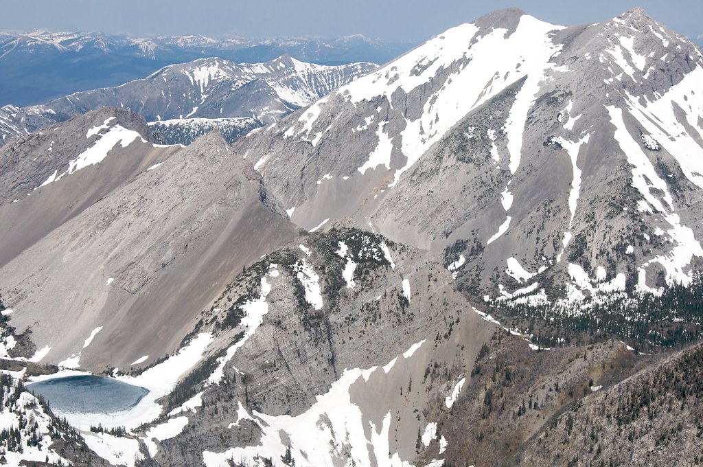 Our LakeHikingPhoto: Sam Beebe, CC BY 2.0 (via Flickr)1.3 mi
- Tears of a ClownRock climbing3.2 mi
- North Fork Teton RiverCanoeing5.2 mi
- North Fork Sun RiverCanoeing7.6 mi
Source: Roamze catalog (indexable pages within 10 miles, PostGIS distance)
- Dean FallsWaterfall · ~35 min drive
- Double FallsWaterfall · ~54 min drive
- Cataract FallsWaterfall · ~1h 5m drive
- Barrier FallsWaterfall · ~1h 7m drive
- Big Salmon FallsWaterfall · ~1h 12m drive
- Dawson FallsWaterfall · ~1h 15m drive
- Monture FallsWaterfall · ~1h 17m drive
- North Fork FallsWaterfall · ~1h 19m drive
- Two Medicine FallsWaterfall · ~1h 20m drive
- Lange FallsWaterfall · ~31 min drive
Best time to visit Mill Falls
Best months: May–September. Best months have typical highs of 55–85 °F, lows of 30 °F or warmer (32 °F where the station doesn't record snow), at most one snowy day and no more than 12 wet days.
Jan
36° / 12°
5 wet
Feb
36° / 12°
6 wet
Mar
42° / 18°
7 wet
Apr
50° / 25°
7 wet
May
59° / 33°
10 wet
Jun
67° / 39°
10 wet
Jul
79° / 45°
7 wet
Aug
78° / 43°
6 wet
Sep
67° / 36°
6 wet
Oct
54° / 29°
6 wet
Nov
42° / 20°
5 wet
Dec
35° / 13°
5 wet
Typical high / low (°F) and days with rain or snow, 1991–2020. Measured at Gibson Dam, MT, 17.8 mi away at 4,590 ft. The station sits about 1,200 ft lower than this place, so expect it a little cooler here. This station doesn't record snowfall. Source: NOAA NCEI U.S. Climate Normals 1991–2020.
