Rovero Trail
- 0.5 mi
- round trip
- 69 ft
- climb
- 4,130 ft
- high point
- Out and back
- route
- Jul–Sep
- best months
Is Rovero Trail open right now?
Alert in the area
The Forest Service lists an alert for Lolo National Forest.
East Fork Big Creek Road & Trail Closure- Superior Ranger District
Agency alert covering Lolo National Forest · Order 26-003- · USFS · Lolo National Forest
As of · Source: USFS · Lolo National Forest. Agencies don't list every closure — check before you go.
Rovero Trail is a short, easy out-and-back hike in the Seeley Lake Ranger District of Lolo National Forest in Montana. The route is about a mile long, with a total elevation gain of 69 feet, and it sits at roughly 4,100 feet, making it a low-effort outing for anyone already in the area. Summer is the most comfortable time to go. Typical averages from the nearby Lindbergh Lake weather station show July and August highs around 78°F with lows near 50°F and only about seven wet days a month. Winter is cold and snowy, with January highs near 31°F and snow on 17 days. The trail is close to several other destinations. The North Clearwater Loop is just 0.3 miles away, and Rainy Lake Campground and the Rainy Lake West and Rainy Lake East hikes are all about 1.4 miles off.
Local outfitters
- Granite Peak RV Resort37 mi away
Not on Roamze yet. Their page has how to reach them.
- NORTH CLEARWATER LOOPHiking0.3 mi
- Rainy Lake CgCamping1.4 mi
- RAINY LAKE WESTHiking1.4 mi
- Rainy Lake EastHiking1.4 mi
- Lake Alva Cg ComplexCamping2.3 mi
- Lakeside Cg (Old Alva)Camping3.7 mi
 Clearwater RiverCanoeingPhoto: Bswc blackfootchallenge, CC BY-SA 4.0 (via Wikimedia Commons)4.4 mi
- Holland Lake Boating SiteLake fishing5.9 mi
Source: Roamze catalog (indexable pages within 10 miles, PostGIS distance)
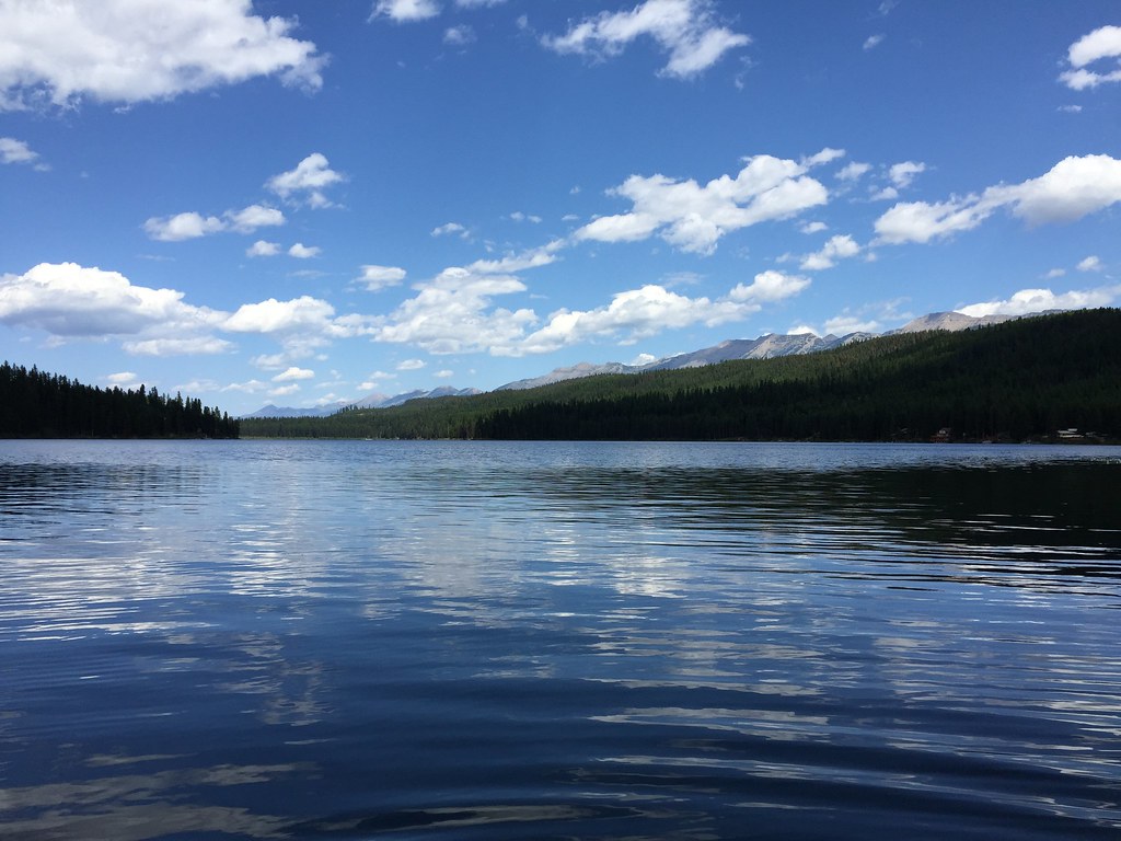 LAKE INEZ HOOKUPHiking · ~9 min drivePhoto: lumachrome, CC BY-SA 2.0 (via Flickr)
 East FoothillHiking · ~12 min drivePhoto: lumachrome, CC BY-SA 2.0 (via Flickr)
- E. Holland Lake Connect.Hiking · ~11 min drivePhoto: lumachrome, CC BY-SA 2.0 (via Flickr)
- COLT CREEKHiking · ~7 min drive
- Rainy Lake EastHiking · ~2 min drive
- CAMP CR.- RICE RIDGEHiking · ~11 min drivePhoto: lumachrome, CC BY-SA 2.0 (via Flickr)
- NORTH CLEARWATER LOOPHiking · Next door
- LAKE ELSINAHiking · ~14 min drive
- RAINY LAKE WESTHiking · ~2 min drive
- Holland LookoutHiking · ~12 min drivePhoto: lumachrome, CC BY-SA 2.0 (via Flickr)
Best time to visit Rovero Trail
Best months: July–September. Best months have typical highs of 55–85 °F, lows of 30 °F or warmer (32 °F where the station doesn't record snow), at most one snowy day and no more than 12 wet days.
Jan
31° / 16°
19 wet · 17 snow
Feb
34° / 17°
16 wet · 14 snow
Mar
42° / 23°
16 wet · 11 snow
Apr
50° / 30°
14 wet · 6 snow
May
60° / 38°
14 wet · 1 snow
Jun
68° / 45°
13 wet
Jul
78° / 50°
7 wet
Aug
78° / 49°
7 wet
Sep
67° / 41°
9 wet
Oct
51° / 32°
12 wet · 3 snow
Nov
38° / 24°
16 wet · 10 snow
Dec
29° / 16°
19 wet · 16 snow
Typical high / low (°F) and days with rain or snow, 1991–2020. Measured at Lindbergh Lake, MT, 6.4 mi away at 4,320 ft. Source: NOAA NCEI U.S. Climate Normals 1991–2020.
Map and trail data © OpenStreetMap contributors
