Quartz Mountain
- 3.1 mi
- round trip
- 833 ft
- climb
- 6,252 ft
- high point
- Out and back
- route
Is Quartz Mountain open right now?
Closure in the area
There's a closure order in Kootenai National Forest. It doesn't name Quartz Mountain, so check the source for the area it covers.
Kootenai Flood Event & Inaccessible Areas
Agency closure covering Kootenai National Forest · USFS · Kootenai National Forest
Updated Skillet Fire Area, Road, Trail Closure
Agency alert covering Kootenai National Forest · Order 01-10- · USFS · Kootenai National Forest
Trail Advisory-Alexander Mountain Trail near Timber Harvest Activities
Agency alert covering Libby Ranger District · USFS · Libby Ranger District
Timberlane Campground Closure
Agency alert covering Libby Ranger District · Order 01-14-05-26-03 · USFS · Libby Ranger District
As of · Source: USFS · Kootenai National Forest. Agencies don't list every closure — check before you go.
Quartz Mountain is a moderate hike in the Libby Ranger District of Montana's Kootenai National Forest, about 8 miles from the town of Kootenai Falls. The trail is an out-and-back of roughly 3 miles, with a total climb of about 830 feet from a low point near 5,430 feet to a high of about 6,250 feet. The route is natural-surfaced and allows bikes, so it works for hikers and riders alike. The climb is steady rather than steep, and the trail is short enough to fit into a day of exploring the surrounding area. Kedzie Creek is about 3 miles away, and Loon Lake Campground is about 4 miles off. Pulpit Mountain Spur and Mount Tom are both within about 5 miles.
Local outfitters
- Kootenai River Campground10 mi away
- Indian Springs Montana40 mi away
Not on Roamze yet. Their page has how to reach them.
Conditions and forecast on Quartz Mountain
Daily highs and lows, wind and the chance of precipitation at the summit and route start for the next 7 days, from the Open-Meteo model.
- Kedzie CreekHiking3 mi
- Loon Lake CampgroundCamping3.7 mi
- Pulpit Mountain SpurHiking3.8 mi
- BobtailHiking4.3 mi
- Mount TomHiking4.7 mi
- Pipe CreekCanoeing6.6 mi
- Kilbrennan Lake CampgroundCamping8.7 mi
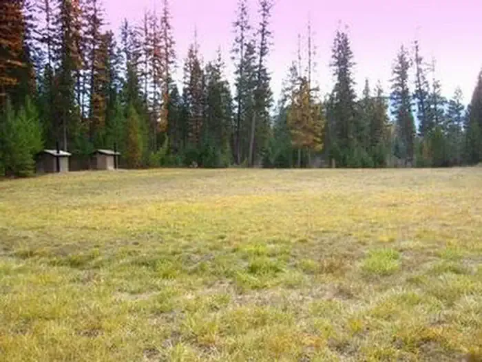 Timberlane CampgroundCampingPhoto: Recreation.gov (RIDB) / public domain9.5 mi
Source: Roamze catalog (indexable pages within 10 miles, PostGIS distance)
 Kootenai CreekHiking · ~11 min drivePhoto: waterarchives, CC BY-SA 2.0 (via Flickr)
 GrambauerHiking · ~14 min drivePhoto: Arbron, CC BY 2.0 (via Flickr)
 TimberlaneHiking · ~16 min drivePhoto: Tony Webster — CC BY 2.0 (via Flickr)
- Pulpit Mountain SpurHiking · ~6 min drive
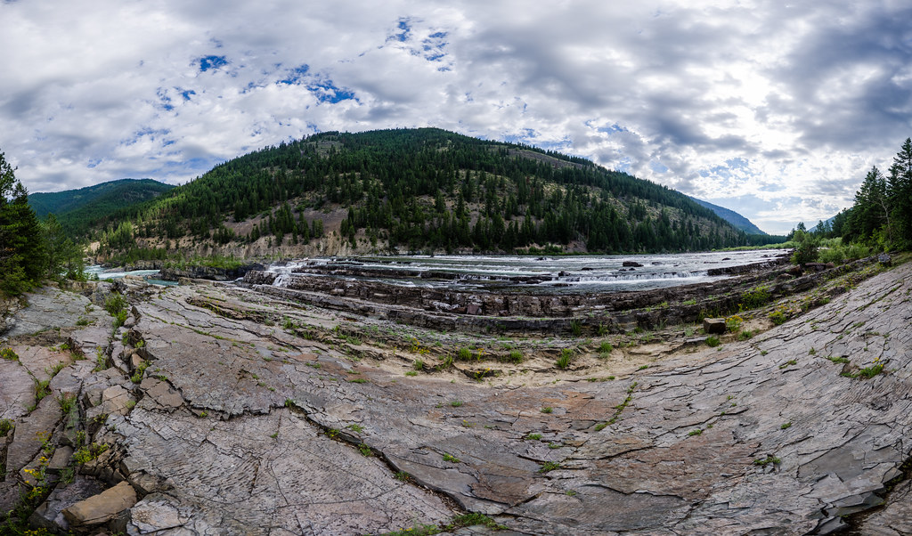 Bighorn Trail #42Hiking · ~12 min drivePhoto: Arbron, CC BY 2.0 (via Flickr)
- Mount TomHiking · ~8 min drive
- Tom Poole LakeHiking · ~9 min drive
- Scenery Mountain TieHiking · ~15 min drive
 Feeder CreekHiking · ~14 min drivePhoto: Forest Service - Northern Region, Public Domain Mark (via Flickr)
- China RimHiking · ~9 min drive

Route details
- Distance
- 3.1 mi round trip
- Climbing
- About 833 ft
- Starts at
- QUARTZ MOUNTAIN TH 213 (RD 4654 RANSOME CR) (about 5,430 ft)
- Summit
- 6,270 ft
- Difficulty
- Moderate
- Time
- About 1.5 hours
Getting there
Park at QUARTZ MOUNTAIN TH 213 (RD 4654 RANSOME CR).
Questions about this route
How long is the Quartz Mountain on Quartz Mountain?
About 3.1 mi round trip from QUARTZ MOUNTAIN TH 213 (RD 4654 RANSOME CR) (about 5,430 ft).
How much elevation gain is on the Quartz Mountain?
About 833 ft of climbing round trip.
How hard is the Quartz Mountain?
It is rated moderate.
Where does the Quartz Mountain start?
QUARTZ MOUNTAIN TH 213 (RD 4654 RANSOME CR) (about 5,430 ft).
How long does the Quartz Mountain take?
About 1.5 hours round trip.
