Mountain · 1 route
Quartz Mountain
6,270 ft · Montana
- Summit
- 6,270 ft
- Routes
- 1 way up
- Season
- June 1 – November 30
Route up Quartz Mountain
About Quartz Mountain
Quartz Mountain is a summit of 6,270 feet in the Libby Ranger District of Montana's Kootenai National Forest, about 10 miles from the town of Troy. Kedzie Creek and Bobtail are both hikes within about 4 miles. Loon Lake Campground and Pulpit Mountain Spur are also about 4 miles away.
Forecast on Quartz Mountain
Daily highs and lows, wind and the chance of precipitation at the summit and route start for the next 7 days, from the Open-Meteo model.
Questions about Quartz Mountain
How tall is Quartz Mountain?
6,270 ft (1,911 m).
How many routes go to the summit of Quartz Mountain?
One: Quartz Mountain.
Where do the routes up Quartz Mountain start?
Quartz Mountain starts at QUARTZ MOUNTAIN TH 213 (RD 4654 RANSOME CR) (about 5,430 ft).
When is the best time to climb Quartz Mountain?
June 1 – November 30.
Mountains nearby
Facts about this place
Where it is
- Libby Ranger District · Ranger district
- Kootenai National Forest · National forest
- Nearest town
- Troy, Montana · 10 mi
Conditions
Active alerts for Libby Ranger District as of Oct 9, 2026:
caution · posted Aug 24, 2026
Trail Advisory-Alexander Mountain Trail near Timber Harvest Activities
caution · posted Aug 24, 2026
Lower Quartz Road #601 Temporary Closure due to Potential Salvage Sale
caution · posted Aug 24, 2026
Source: USFS forest alerts
Nearby
- Kedzie CreekHiking3.6 mi
- BobtailHiking4 mi
- Loon Lake CampgroundCamping4 mi
- Pulpit Mountain SpurHiking4 mi
- China RimHiking4.6 mi
- Pipe CreekCanoeing6 mi
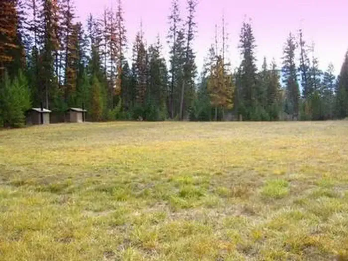 Timberlane CampgroundCampingPhoto: Recreation.gov (RIDB) / public domain8.9 mi
- Kilbrennan Lake CampgroundCamping9.4 mi
Source: Roamze catalog (indexable pages within 10 miles, PostGIS distance)
Is Quartz Mountain open right now?
Closure in the area
There's a closure order in Kootenai National Forest. It doesn't name Quartz Mountain, so check the source for the area it covers.
Kootenai Flood Event & Inaccessible Areas
Agency closure covering Kootenai National Forest · USFS · Kootenai National Forest
Updated Skillet Fire Area, Road, Trail Closure
Agency alert covering Kootenai National Forest · Order 01-10- · USFS · Kootenai National Forest
Trail Advisory-Alexander Mountain Trail near Timber Harvest Activities
Agency alert covering Libby Ranger District · USFS · Libby Ranger District
Timberlane Campground Closure
Agency alert covering Libby Ranger District · Order 01-14-05-26-03 · USFS · Libby Ranger District
As of · Source: USFS · Kootenai National Forest. Agencies don't list every closure — check before you go.
