Feeder Creek
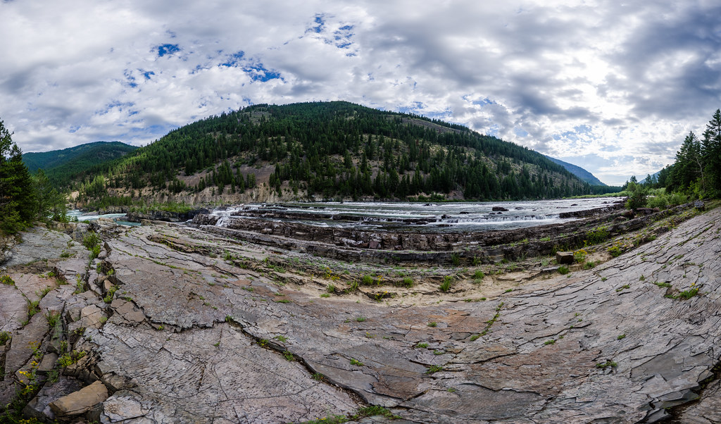
 Photo: Forest Service - Northern Region, Public Domain Mark (via Flickr)
- 4.1 mi
- round trip
- 2,182 ft
- climb
- 5,170 ft
- high point
- Out and back
- route
Is Feeder Creek open right now?
Closure in the area
There's a closure order in Three Rivers Ranger District. It doesn't name Feeder Creek, so check the source for the area it covers (2 listed).
Ross Creek Cedars Road Closure & Storm Damage Update
Agency closure covering Three Rivers Ranger District · Order 01-14-04-26-08 · USFS · Three Rivers Ranger District
Kootenai Flood Event & Inaccessible Areas
Agency closure covering Kootenai National Forest · USFS · Kootenai National Forest
Updated Skillet Fire Area, Road, Trail Closure
Agency alert covering Kootenai National Forest · Order 01-10- · USFS · Kootenai National Forest
Spar Lake Road #384 Road Closed to Motorized Vehicles
Agency alert covering Three Rivers Ranger District · Order 01-14-04-26-04 · USFS · Three Rivers Ranger District
As of · Source: USFS · Three Rivers Ranger District. Agencies don't list every closure — check before you go.
Feeder Creek is a 4.1-mile out-and-back hike in the Three Rivers Ranger District of Kootenai National Forest in northwest Montana, about 4 miles from the town of Yaak. The Forest Service manages the land, and the trail is rated moderate, with a one-way climb of about 2,180 feet from a low point near 2,990 feet to a high of about 5,170 feet. The trail is natural-surfaced and allows bikes, so it works for hikers and riders alike. Kilbrennan Lake Campground sits less than a mile away, making it the closest place to camp. The Feeder Mountain hike is about 2 miles off, and the Yaak Mtn. Lookout Rental and Yaak Falls Campground are both within about 4 miles.
Local outfitters
- Kootenai River Campground6 mi away
- Indian Springs Montana44 mi away
Not on Roamze yet. Their page has how to reach them.
- Kilbrennan Lake CampgroundCamping0.8 mi
- ProspectHiking1.9 mi
- Feeder MountainHiking2.2 mi
- Yaak Mtn. Lookout RentalCamping2.6 mi
- Arbo CreekHiking3 mi
- Wee LakeHiking4 mi
- Yaak Falls CampgroundCamping4.1 mi
- Yaak RiverCamping4.6 mi
Source: Roamze catalog (indexable pages within 10 miles, PostGIS distance)
 Tepee MountainHiking · ~8 min drivePhoto: Tony Webster, CC BY-SA 2.0 (via Flickr)
 Kootenai CreekHiking · ~17 min drivePhoto: waterarchives, CC BY-SA 2.0 (via Flickr)
- Wee LakeHiking · ~7 min drive
- Pulpit Mountain SpurHiking · ~10 min drive
- Independence CreekHiking · ~15 min drive
 Kootenai River WalkHiking · ~15 min drivePhoto: waterarchives, CC BY-SA 2.0 (via Flickr)
 Bighorn Trail #42Hiking · ~19 min drivePhoto: Arbron, CC BY 2.0 (via Flickr)
- SEARS FLAT LOOP BHiking · ~8 min drive
 GrambauerHiking · ~19 min drivePhoto: Arbron, CC BY 2.0 (via Flickr)
- DipperHiking · ~7 min drive
