West Glacier KOA
Campground
Campground · 5.2 mi from the trail
 Photo: ludger.heide, CC BY-SA 2.0 (via Flickr)
Alert in the area
The Forest Service lists 5 alerts for Flathead National Forest.
Camp Creek Fire Updated Trail Closure
Agency alert covering Flathead National Forest · Order 01-10- · USFS · Flathead National Forest
FK&L Area Closed to Public Access Starting July 22, 2026
Agency alert covering Flathead National Forest · Order 01-10- · USFS · Flathead National Forest
Trail 800 Tally-Ashely Closure
Agency alert covering Flathead National Forest · Order 01-10- · USFS · Flathead National Forest
Ryan Creek Occupancy and Use Order
Agency alert covering Flathead National Forest · Order 1-10- · USFS · Flathead National Forest
Logan Creek Hoke Creek Closure
Agency alert covering Flathead National Forest · Order 01-10- · USFS · Flathead National Forest
As of · Source: USFS · Flathead National Forest. Agencies don't list every closure — check before you go.
Ousel Peak is a hard hike in the Great Bear Wilderness, part of the Hungry Horse Ranger District of Montana's Flathead National Forest. The route is an out-and-back of about 7 miles, with a total elevation gain of about 3,100 feet, taking you from a low point of about 3,350 feet to the summit at about 7,140 feet. The Forest Service manages the land, and the trail is natural-surfaced and open year-round. The climb is steep, and the route is rated hard. Horses are allowed, so the trail works for riders as well as hikers. The closest neighbor is Harrison Creek, about a mile away. Great Bear Creek and Nyack Pack Trail are each about 4 miles off, and Apgar Group Sites, a campground, is about 6 miles away.
West Glacier KOA
Campground
North American Wildlife Museum
Museum
Places © OpenStreetMap contributors
More in WhitefishNot on Roamze yet. Their page has how to reach them.
 Photo: ludger.heide, CC BY-SA 2.0 (via Flickr)
Moccasin Creek
~2 min drive
Moccasin Creek is a 0.62-mile out-and-back trail in Montana.
Photo: ludger.heide, CC BY-SA 2.0 (via Flickr)Harrison Creek
~2 min drive
11.6-mile out-and-back trail in Montana with 4,010 ft elevation gain and loss.
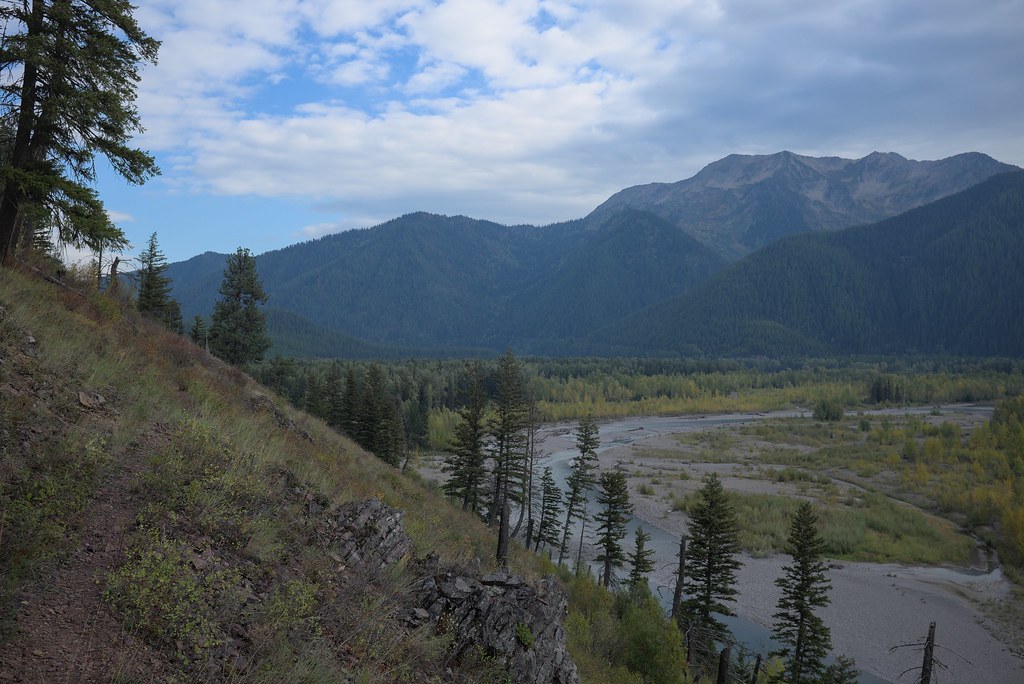 Photo: ludger.heide, CC BY-SA 2.0 (via Flickr)
Loneman Lookout
~7 min drive
10.84-mile out-and-back trail with 3,738 ft elevation gain in Montana.
 Photo: astrophotography_andy, CC BY 2.0 (via Flickr)
Skiumah Creek
~8 min drive
3.52-mile out-and-back trail in Montana with 1,150 ft gain.
 Photo: Daniel Weber, Public Domain Dedication (CC0) (via Flickr)
Rocky Point Trailhead
~11 min drive
The Rocky Point Trail follows along the western shore of Lake McDonald, within the burn scar of the Roberts Fire (2003). It offers beach access and excellent views of Lake McDonald. The trail is lollipop-shaped. Rocky Point Distance: 0.7 mile (1.1 km), loop Elevation gain: 2…
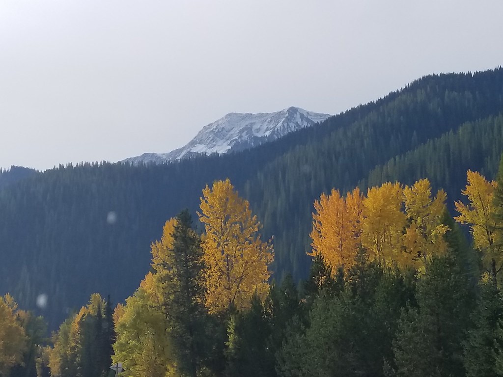 Photo: astrophotography_andy, CC BY 2.0 (via Flickr)
Nyack Pack Trail
~7 min drive
1.54-mile out-and-back trail in Montana with 383 ft elevation gain
Photo: astrophotography_andy, CC BY 2.0 (via Flickr)Rescue Creek
~9 min drive
4.20-mile out-and-back trail in Montana with 1,953 ft gain.
Photo: ludger.heide, CC BY-SA 2.0 (via Flickr)Nyack Creek
~7 min drive
36.68-mile out-and-back trail in Montana with 3,419 ft elevation gain
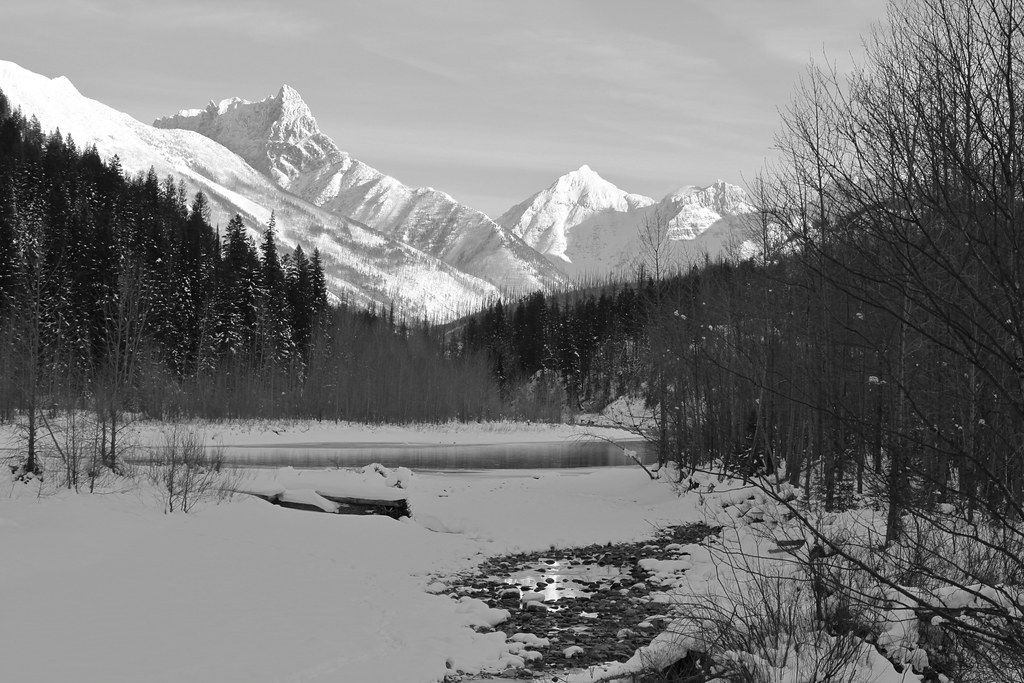 Photo: roy.luck, CC BY 2.0 (via Flickr)
Cascadilla Creek
~12 min drive
4.41-mile out-and-back trail in Montana with 875 ft of elevation gain.
HIKE
Apgar Lookout Trailhead
~12 min drive
This trail leads to the Apgar Fire Lookout, offering an expansive view of Lake McDonald and the surrounding valley. This particular view is shared online via a live webcam. The webcam view is available at www.nps.gov/glac. Apgar Fire Lookout Distance: 3.6 mi (5.8 km), one wa…
Season: Year-round.
About 7.0 mi round trip.
About 3,129 ft of climbing round trip.
It is rated hard.
About 4 hours round trip.
Year-round.
Daily highs and lows, wind and the chance of precipitation at the summit and route start for the next 7 days, from the Open-Meteo model.
