Harrison Lake
Campground
Campground · 4.8 mi from the trail
 Photo: ludger.heide, CC BY-SA 2.0 (via Flickr)
Alert in the area
The Forest Service lists 5 alerts for Flathead National Forest.
Camp Creek Fire Updated Trail Closure
Agency alert covering Flathead National Forest · Order 01-10- · USFS · Flathead National Forest
FK&L Area Closed to Public Access Starting July 22, 2026
Agency alert covering Flathead National Forest · Order 01-10- · USFS · Flathead National Forest
Trail 800 Tally-Ashely Closure
Agency alert covering Flathead National Forest · Order 01-10- · USFS · Flathead National Forest
Ryan Creek Occupancy and Use Order
Agency alert covering Flathead National Forest · Order 1-10- · USFS · Flathead National Forest
Logan Creek Hoke Creek Closure
Agency alert covering Flathead National Forest · Order 01-10- · USFS · Flathead National Forest
As of · Source: USFS · Flathead National Forest. Agencies don't list every closure — check before you go.
Moccasin Creek is a short out-and-back trail in Montana managed by the Forest Service. The trail is 0.62 miles and follows an out-and-back route.
Harrison Lake
Campground
North American Wildlife Museum
Museum
Places © OpenStreetMap contributors
More in WhitefishNot on Roamze yet. Their page has how to reach them.
Best months: July–September. Best months have typical highs of 55–85 °F, lows of 30 °F or warmer (32 °F where the station doesn't record snow), at most one snowy day and no more than 12 wet days.
Jan
30° / 19°
18 wet
Feb
34° / 19°
15 wet
Mar
42° / 25°
15 wet
Apr
53° / 31°
14 wet
May
64° / 39°
14 wet
Jun
70° / 45°
14 wet
Jul
80° / 50°
9 wet
Aug
79° / 48°
7 wet
Sep
68° / 41°
9 wet
Oct
52° / 33°
13 wet
Nov
37° / 26°
16 wet
Dec
29° / 20°
18 wet
Typical high / low (°F) and days with rain or snow, 1991–2020. Measured at W Glacier, MT, 6.5 mi away at 3,148 ft. We don't have this place's elevation, so higher spots nearby can run cooler. This station doesn't record snowfall. Source: NOAA NCEI U.S. Climate Normals 1991–2020.
Photo: ludger.heide, CC BY-SA 2.0 (via Flickr)Harrison Creek
~2 min drive
11.6-mile out-and-back trail in Montana with 4,010 ft elevation gain and loss.
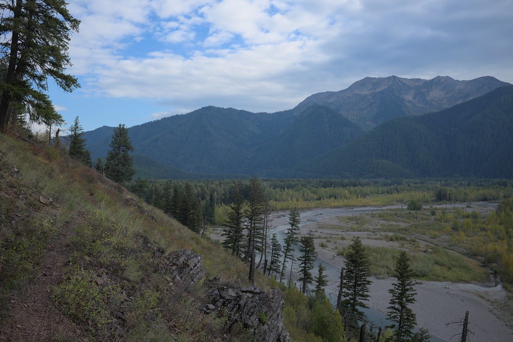 Photo: ludger.heide, CC BY-SA 2.0 (via Flickr)
Loneman Lookout
~5 min drive
10.84-mile out-and-back trail with 3,738 ft elevation gain in Montana.
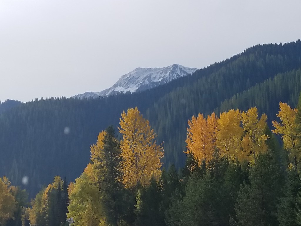 Photo: astrophotography_andy, CC BY 2.0 (via Flickr)
Nyack Pack Trail
~6 min drive
1.54-mile out-and-back trail in Montana with 383 ft elevation gain
 Photo: astrophotography_andy, CC BY 2.0 (via Flickr)
Skiumah Creek
~6 min drive
3.52-mile out-and-back trail in Montana with 1,150 ft gain.
 Photo: Daniel Weber, Public Domain Dedication (CC0) (via Flickr)
Rocky Point Trailhead
~13 min drive
The Rocky Point Trail follows along the western shore of Lake McDonald, within the burn scar of the Roberts Fire (2003). It offers beach access and excellent views of Lake McDonald. The trail is lollipop-shaped. Rocky Point Distance: 0.7 mile (1.1 km), loop Elevation gain: 2…
 Photo: ludger.heide, CC BY-SA 2.0 (via Flickr)
Ousel Peak
~2 min drive
6.99-mile out-and-back trail to Ousel Peak in Montana with 3,129 ft elevation gain.
 Photo: GlacierNPS, Public Domain Mark (via Flickr)
Snyder Ridge Trail
~12 min drive
21.2-mile out-and-back hike in Montana with 4,317 ft gain/loss.
Photo: astrophotography_andy, CC BY 2.0 (via Flickr)Great Bear Creek
~6 min drive
3.47-mile out-and-back trail in Montana with 882 ft gain.
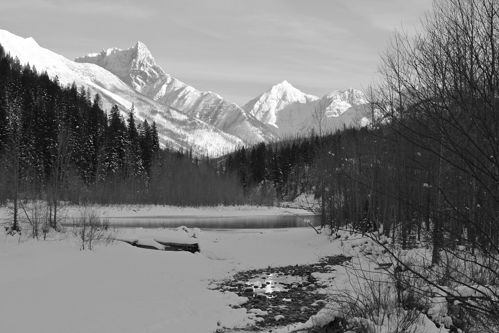 Photo: roy.luck, CC BY 2.0 (via Flickr)
Cascadilla Creek
~11 min drive
4.41-mile out-and-back trail in Montana with 875 ft of elevation gain.
HIKE
Apgar Lookout Trailhead
~14 min drive
This trail leads to the Apgar Fire Lookout, offering an expansive view of Lake McDonald and the surrounding valley. This particular view is shared online via a live webcam. The webcam view is available at www.nps.gov/glac. Apgar Fire Lookout Distance: 3.6 mi (5.8 km), one wa…
