

North American RV Park & Yurt Village
Hiking business nearby (~5 mi away) — hasn't claimed their Roamze page yet
Apgar Lookout Trailhead
Free — you'll pick up right here.
Watch this trail
Sign up to watch it — saving subscribes you to gate, closure and report changes.
Montana
We won't guess. Here is exactly what we do and don't know.
What we do know
Inside Glacier National Park
National Park unit boundary is mapped — agency alerts for it feed this page automatically.
Boundary data
What's missing
No access route mapped
We don't yet know which road reaches this trailhead, so we can't tell you if it's gated.
Nobody's filed a report here yet — be the first.
Apgar Lookout Trailhead
AI-suggested draft · review before you go
No elevation data on file for this trail.
This trail leads to the Apgar Fire Lookout, offering an expansive view of Lake McDonald and the surrounding valley. This particular view is shared online via a live webcam. The webcam view is available at www.nps.gov/glac. Apgar Fire Lookout Distance: 3.6 mi (5.8 km), one way Elevation gain: 1,966 ft (599 m) Elevation loss: 107 ft (33 m) Trailhead: 0.5 mi (0.8 km) north of the West Entrance and 2.4 mi (3.9 km) down Quarter Circle Bridge Road While in Glacier National Park, please maintain extra awareness around water, steep dropoffs, and wildlife. You are responsible for your own safety.
Forest and Fire Nature Trail
~17 min drive
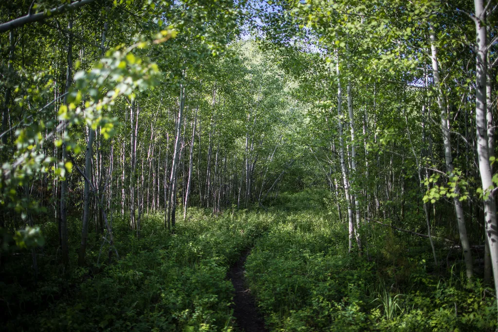
Welcome to the Forest & Fire Nature Trail. Depending on where you’re from, the word “wildfire” can be letters on a page or... a whole lot more. For some, the word “wildfire” can trigger dramatic and visceral recall of the sights, sounds, smells, and tastes of the earth on fir…
Highline Loop Sm
~12 min drive
14.4-mile loop with 1,372 ft gain through Montana backcountry.
P-Line Trail
~12 min drive
Short, steep Montana foothill hike with 480 ft elevation gain.
Emery Hill Sm
~14 min drive
Moderate 4.9-mile hike with 1,099 ft gain near Emery Hill, Montana.
Camas Road Gate Parking
~3 min drive
Parking at the Camas Road Gate is only allowed during the winter months. From here, skiers and snowshoers can access a variety of trails. Trails that can be reached from this parking area are: Lower McDonald Creek, 2-3 miles roundtrip. The trail begins just south of the McDo…
Ousel Peak
~12 min drive
Moderate 7-mile climb to Ousel Peak with 3,129 ft elevation gain.
Walking W
~14 min drive
Easy 1.15-mile walk with 272 ft elevation gain near Walking W.
Cedar Ridge
~15 min drive
Scenic ridgeline loop through Montana forest with moderate views.
Rocky Point Trailhead
~6 min drive
The Rocky Point Trail follows along the western shore of Lake McDonald, within the burn scar of the Roberts Fire (2003). It offers beach access and excellent views of Lake McDonald. The trail is lollipop-shaped. Rocky Point Distance: 0.7 mile (1.1 km), loop Elevation gain: 2…
Canyon Sm
~12 min drive
Challenging 45-mile backcountry trail with 2,787 ft elevation gain through Montana canyonlands.
Local operatorsoffering guided trips. You book directly with them — Roamze doesn’t take a cut.
North American RV Park & Yurt Village
Hiking business nearby (~5 mi away) — hasn't claimed their Roamze page yet
Rocky Mountain Outfitter
Hiking business nearby (~25 mi away) — hasn't claimed their Roamze page yet