West Glacier KOA
Campground
Campground · 4.3 mi from the trail
Alert in the area
The Forest Service lists 6 alerts for Flathead National Forest.
Ashley Lake North Campground Closure
Agency alert covering Flathead National Forest · Order 01-10- · USFS · Flathead National Forest
Camp Creek Fire Updated Trail Closure
Agency alert covering Flathead National Forest · Order 01-10- · USFS · Flathead National Forest
FK&L Area Closed to Public Access Starting July 22, 2026
Agency alert covering Flathead National Forest · Order 01-10- · USFS · Flathead National Forest
Trail 800 Tally-Ashely Closure
Agency alert covering Flathead National Forest · Order 01-10- · USFS · Flathead National Forest
Ryan Creek Occupancy and Use Order
Agency alert covering Flathead National Forest · Order 1-10- · USFS · Flathead National Forest
As of · Source: USFS · Flathead National Forest. Agencies don't list every closure — check before you go.
Ousel Peak is a summit in the Great Bear Wilderness, part of the Hungry Horse Ranger District of Flathead National Forest in northwest Montana. The nearest town is West Glacier, about 5 miles away. Other spots close by include the Harrison Creek hike, about 2.6 miles away, and Great Bear Creek, at 3.9 miles. The Nyack Pack Trail is 4.2 miles away, and the Belton Bridge at Glacier National Park climbing area is about 4.5 miles away.
West Glacier KOA
Campground
North American Wildlife Museum
Museum
Places © OpenStreetMap contributors
More in WhitefishDaily highs and lows, wind and the chance of precipitation at the summit and route start for the next 7 days, from the Open-Meteo model.
Elevation from USGS 3D Elevation Program terrain data (about 10 m resolution).
7,145 ft (2,178 m).
One: Ousel Peak.
Year-round.
 Harrison CreekHikingPhoto: ludger.heide, CC BY-SA 2.0 (via Flickr)2.6 mi
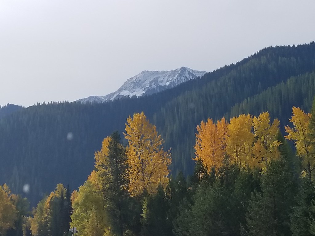 Great Bear CreekHikingPhoto: astrophotography_andy, CC BY 2.0 (via Flickr)3.9 miNyack Pack TrailHikingPhoto: astrophotography_andy, CC BY 2.0 (via Flickr)4.2 mi
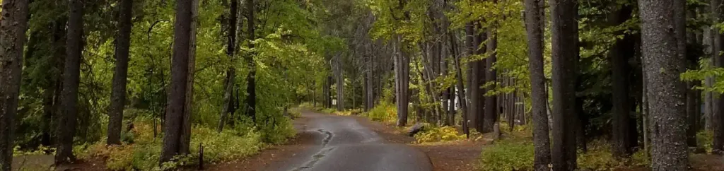 Apgar Group SitesCampingPhoto: Recreation.gov (RIDB) / public domain6 mi
 Emery Bay CampgroundCampingPhoto: Recreation.gov (RIDB) / public domain9.6 mi
Source: Roamze catalog (indexable pages within 10 miles, PostGIS distance)
 Mount JacksonSummit · ~21 min drivePhoto: Acroterion, CC BY-SA 4.0 (via Wikimedia Commons)
 Mount BrownSummit · ~21 min drivePhoto: GlacierNPS, CC BY 2.0 (via Wikimedia Commons)
 Little MatterhornSummit · ~22 min drivePhoto: NPS Natural Resources
NPS Photo/Jacob W. Frank, Public domain (via Wikimedia Commons)
 Stanton MountainSummit · ~23 min drivePhoto: GlacierNPS, Public domain (via Wikimedia Commons)
 Bearhat MountainSummit · ~26 min drivePhoto: GlacierNPS, Public domain (via Wikimedia Commons)
 Reynolds MountainSummit · ~28 min drivePhoto: Public domain (via Wikimedia Commons)
 Triple Divide PeakSummit · ~32 min drivePhoto: Eggbones, CC BY-SA 4.0 (via Wikimedia Commons)
 Haystack ButteSummit · ~34 min drivePhoto: oliver.dodd, CC BY 2.0 (via Wikimedia Commons)
 Mount GouldSummit · ~35 min drivePhoto: National Park Service, Public domain (via Wikimedia Commons)
 Angel WingSummit · ~37 min drivePhoto: Jeff P from Berkeley, CA, USA, CC BY 2.0 (via Wikimedia Commons)

