Morrell Creek
- 6.8 mi
- round trip
- 1,769 ft
- climb
- 6,614 ft
- high point
- Out and back
- route
Is Morrell Creek open right now?
Alert in the area
The Forest Service lists an alert for Lolo National Forest.
East Fork Big Creek Road & Trail Closure- Superior Ranger District
Agency alert covering Lolo National Forest · Order 26-003- · USFS · Lolo National Forest
As of · Source: USFS · Lolo National Forest. Agencies don't list every closure — check before you go.
Morrell Creek is a hard hike in the Seeley Lake Ranger District of Montana's Lolo National Forest, about 6.8 miles long with a one-way elevation gain of 1,769 feet. The trail is an out-and-back that starts at a low point of about 4,800 feet and climbs to a high point of about 6,600 feet. The Forest Service manages the land, and the route is on natural surface, with biking allowed. The trail is open year-round, and the surrounding area offers plenty to pair with it. Grizzly Basin and Swan Divide are both hikes within a mile, and Morrell Falls is a mountain biking spot at a similar distance. For an overnight stay, Lake Inez Campground Complex is about 4.7 miles away.
Local outfitters
- Granite Peak RV Resort39 mi away
Not on Roamze yet. Their page has how to reach them.
- Grizzly BasinHiking0.8 mi
- Morrell FallsMountain biking0.8 mi
- Swan DivideHiking0.9 mi
- Rice RidgeMountain biking1.2 mi
 Clearwater RiverCanoeingPhoto: Bswc blackfootchallenge, CC BY-SA 4.0 (via Wikimedia Commons)4.5 mi
- Lake Inez Campground ComplexCamping4.7 mi
- Lakeside Cg (Old Alva)Camping5.1 mi
- Lake Alva Cg ComplexCamping5.7 mi
Source: Roamze catalog (indexable pages within 10 miles, PostGIS distance)
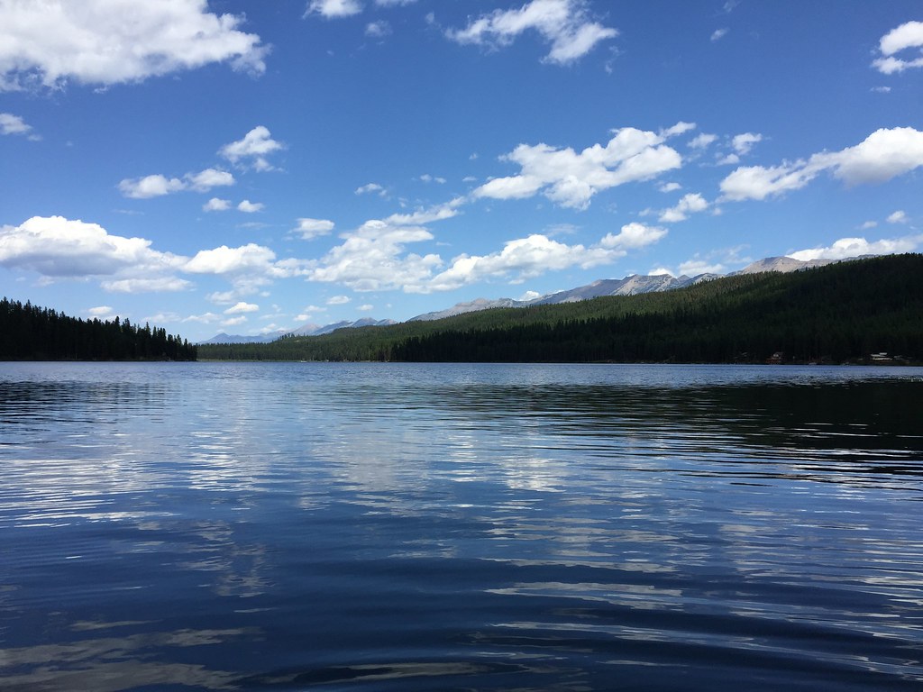 CAMP CR.- RICE RIDGEHiking · ~8 min drivePhoto: lumachrome, CC BY-SA 2.0 (via Flickr)
- LAKE INEZ HOOKUPHiking · ~9 min drivePhoto: lumachrome, CC BY-SA 2.0 (via Flickr)
- COLT CREEKHiking · ~9 min drive
- Clearwater CanoeHiking · ~10 min drive
- Grizzly BasinHiking · ~1 min drive
- MORRELL FALLSHiking · ~4 min drive
- LAKE ELSINAHiking · ~10 min drive
- SOUTH CLEARWATER LOOPHiking · ~10 min drive
- Swan DivideHiking · ~2 min drive
- Florence LakeHiking · ~4 min drive
