Grizzly Basin
- 10.4 mi
- round trip
- 2,532 ft
- climb
- 7,925 ft
- high point
- Out and back
- route
Is Grizzly Basin open right now?
Alert in the area
The Forest Service lists an alert for Lolo National Forest.
East Fork Big Creek Road & Trail Closure- Superior Ranger District
Agency alert covering Lolo National Forest · Order 26-003- · USFS · Lolo National Forest
As of · Source: USFS · Lolo National Forest. Agencies don't list every closure — check before you go.
Grizzly Basin is a hard hike in the Seeley Lake Ranger District of Lolo National Forest in western Montana. The route is out and back, about 10 miles long, with a total elevation gain of about 2,500 feet. It starts at roughly 4,800 feet and climbs to about 7,900 feet, so the high point of the trip is well above the low. The Forest Service manages the land, and the trail is open year-round. Plan on a full day for the trip. Several other outings sit close by. Morrell Creek is less than a mile away, and Swan Divide is about a mile off. For a change of pace, the Morrell Falls mountain bike trail is about 1.3 miles away. Lake Inez Campground Complex, about 5 miles away, offers a place to stay.
Local outfitters
- Granite Peak RV Resort40 mi away
Not on Roamze yet. Their page has how to reach them.
- Morrell CreekHiking0.8 mi
- Swan DivideHiking1.2 mi
- Morrell FallsMountain biking1.3 mi
- Crescent MountainMountain biking1.5 mi
 Clearwater RiverCanoeingPhoto: Bswc blackfootchallenge, CC BY-SA 4.0 (via Wikimedia Commons)5 mi
- Lake Inez Campground ComplexCamping5.3 mi
- Lakeside Cg (Old Alva)Camping5.6 mi
- Lake Alva Cg ComplexCamping6.1 mi
Source: Roamze catalog (indexable pages within 10 miles, PostGIS distance)
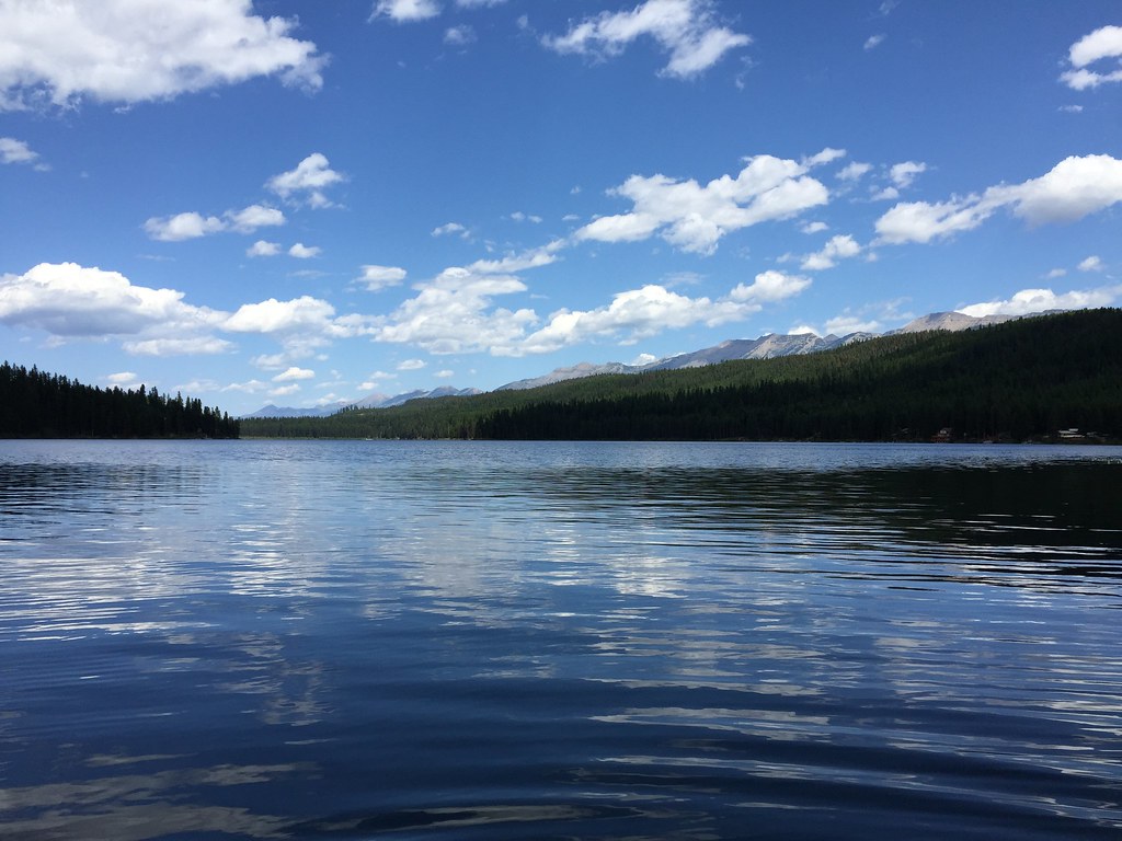 LAKE INEZ HOOKUPHiking · ~10 min drivePhoto: lumachrome, CC BY-SA 2.0 (via Flickr)
- CAMP CR.- RICE RIDGEHiking · ~9 min drivePhoto: lumachrome, CC BY-SA 2.0 (via Flickr)
- SOUTH CLEARWATER LOOPHiking · ~10 min drive
- COLT CREEKHiking · ~10 min drive
- MORRELL FALLSHiking · ~5 min drive
- Morrell CreekHiking · ~1 min drive
- Clearwater CanoeHiking · ~11 min drive
- LAKE ELSINAHiking · ~11 min drive
- Florence LakeHiking · ~6 min drive
- Swan DivideHiking · ~2 min drive
