Clearwater Canoe
- 6.0 mi
- round trip
- 2 ft
- climb
- 4,000 ft
- high point
- Out and back
- route
- May, Jul–Sep
- best months
Is Clearwater Canoe open right now?
Alert in the area
The Forest Service lists an alert for Lolo National Forest.
East Fork Big Creek Road & Trail Closure- Superior Ranger District
Agency alert covering Lolo National Forest · Order 26-003- · USFS · Lolo National Forest
As of · Source: USFS · Lolo National Forest. Agencies don't list every closure — check before you go.
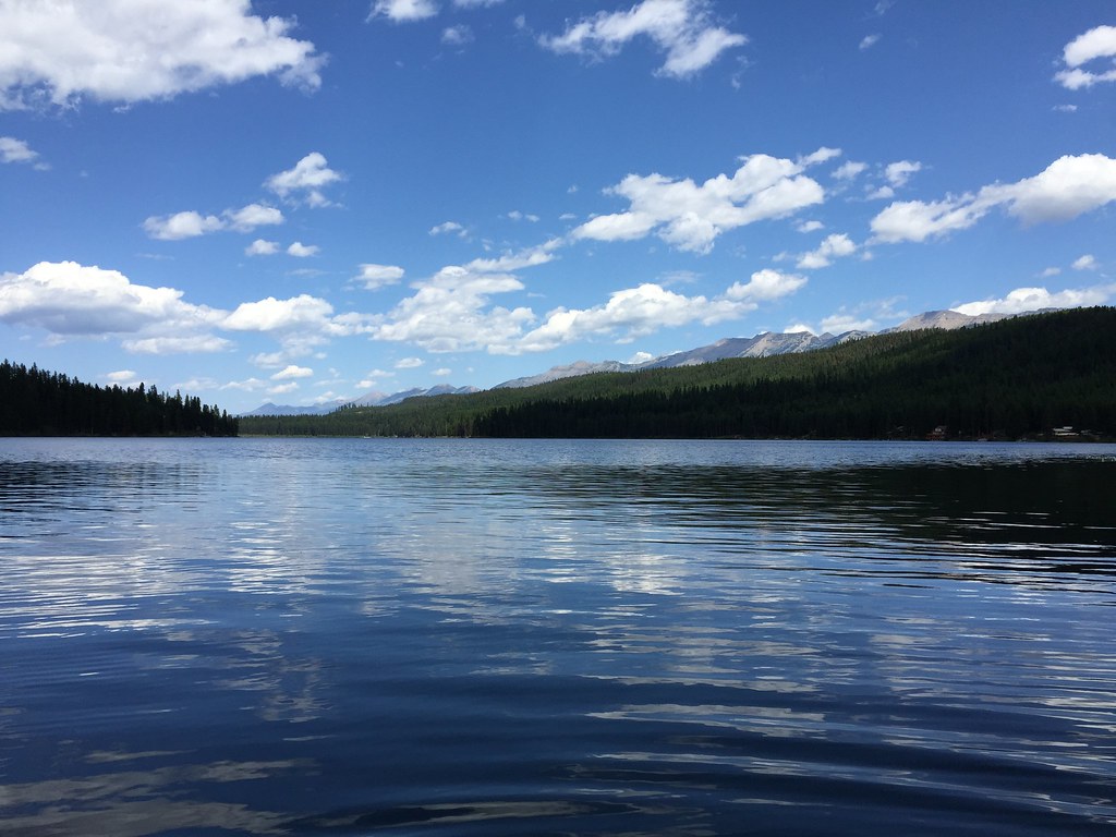
Clearwater Canoe is a short, low-elevation hike of about 6 miles out and back in Montana's Lolo National Forest, within the Seeley Lake Ranger District. The Forest Service manages the land. The trail rises just 2 feet from the low point of 3,996 feet to a high of 4,000 feet, so the climb is almost flat, and the hike is rated moderate. Summer is the most comfortable time to go. Typical averages from a nearby weather station at Seeley Lake put July and August highs around 83°F with lows in the low 40s and the fewest wet days of the year. Winter is cold, with January highs near freezing. The Clearwater River Canoe Trailhead is the trailhead and parking for this route. The Smurf Hill hike starts about 0.3 miles away, and the Canoe Trail Return and Theme Meadow Cutoff mountain biking routes are within a mile. Paddlers can reach the Clearwater River about 5 miles from the trailhead.
Local outfitters
- Granite Peak RV Resort34 mi away
Not on Roamze yet. Their page has how to reach them.
- Smurf HillHiking0.3 mi
- Canoe Trail ReturnMountain biking0.5 mi
- Theme Meadow CutoffMountain biking0.9 mi
- West Side BypassMountain biking1 mi
- Seeley Lake Cg ComplexCamping2.4 mi
- River Point Campground ComplexCamping2.9 mi
- Big Larch Cg ComplexCamping3.5 mi
 Clearwater RiverCanoeingPhoto: Bswc blackfootchallenge, CC BY-SA 4.0 (via Wikimedia Commons)5.2 mi
Source: Roamze catalog (indexable pages within 10 miles, PostGIS distance)
 Big Larch NatureHiking · ~6 min drivePhoto: Matt Lavin, CC BY-SA 2.0 (via Flickr)
 CAMP CR.- RICE RIDGEHiking · ~5 min drivePhoto: lumachrome, CC BY-SA 2.0 (via Flickr)
- Canoe Trail ReturnHiking · ~2 min drive
- LAKE ELSINAHiking · ~3 min drive
- LOGGING CAMP LOOPHiking · ~7 min drivePhoto: Matt Lavin, CC BY-SA 2.0 (via Flickr)
- SAWYER CR.- RICE RIDGEHiking · ~2 min drive
- AUGGIE CUTOFFHiking · ~4 min drive
- WEST MORRELL-RICE RIDGE LOOPHiking · ~4 min drive
- Seeley Town HookupHiking · ~7 min drivePhoto: Matt Lavin, CC BY-SA 2.0 (via Flickr)
- Rice RidgeHiking · ~4 min drive
Best time to visit Clearwater Canoe
Best months: May and July–September. Best months have typical highs of 55–85 °F, lows of 30 °F or warmer (32 °F where the station doesn't record snow), at most one snowy day and no more than 12 wet days.
Jan
32° / 12°
15 wet
Feb
37° / 13°
12 wet
Mar
45° / 20°
12 wet
Apr
54° / 27°
11 wet
May
65° / 34°
12 wet
Jun
72° / 41°
13 wet
Jul
83° / 44°
8 wet
Aug
83° / 43°
7 wet
Sep
73° / 36°
9 wet
Oct
56° / 29°
11 wet
Nov
40° / 21°
14 wet
Dec
31° / 13°
16 wet
Typical high / low (°F) and days with rain or snow, 1991–2020. Measured at Seeley Lake Rs, MT, 1.1 mi away at 4,100 ft. This station doesn't record snowfall. Source: NOAA NCEI U.S. Climate Normals 1991–2020.
