Big Creek Campground
Campground
Campground · 1.8 mi from the trail
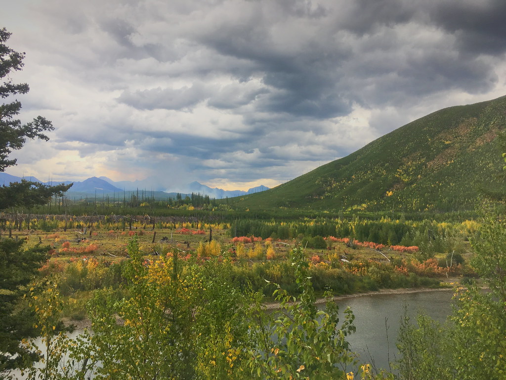 Photo: alex ranaldi, CC BY-SA 2.0 (via Flickr)
Alert in the area
The Forest Service lists 6 alerts for Flathead National Forest.
Ashley Lake North Campground Closure
Agency alert covering Flathead National Forest · Order 01-10- · USFS · Flathead National Forest
Camp Creek Fire Updated Trail Closure
Agency alert covering Flathead National Forest · Order 01-10- · USFS · Flathead National Forest
FK&L Area Closed to Public Access Starting July 22, 2026
Agency alert covering Flathead National Forest · Order 01-10- · USFS · Flathead National Forest
Trail 800 Tally-Ashely Closure
Agency alert covering Flathead National Forest · Order 01-10- · USFS · Flathead National Forest
Ryan Creek Occupancy and Use Order
Agency alert covering Flathead National Forest · Order 1-10- · USFS · Flathead National Forest
As of · Source: USFS · Flathead National Forest. Agencies don't list every closure — check before you go.
Demers Ridge is a hard, out-and-back hike in the Glacier View Ranger District of Montana's Flathead National Forest. The trail climbs from a low point of 3,379 feet to a high point of 6,215 feet, with a one-way elevation gain of 3,054 feet. At about 13.7 miles, it is a long, steep route best suited to a full day on the trail. Bikes are allowed on the natural-surface trail. The Forest Service manages the land, and the trip runs from June 1 to September 30. The Forest and Fire Nature Trail and its Fire Ecology extension sit about half a mile away. Glacier View Mtn. and Big Creek Campground are both within about 2.6 miles.
Big Creek Campground
Campground
Eddie's Cafe
Restaurant
The Bruck Bus-Truck
Attraction
Places © OpenStreetMap contributors
More in WhitefishNot on Roamze yet. Their page has how to reach them.
Daily highs and lows, wind and the chance of precipitation at the summit and route start for the next 7 days, from the Open-Meteo model.
 Forest and Fire Nature Trail Fire EcologyHikingPhoto: astrophotography_andy, CC BY 2.0 (via Flickr)0.5 mi
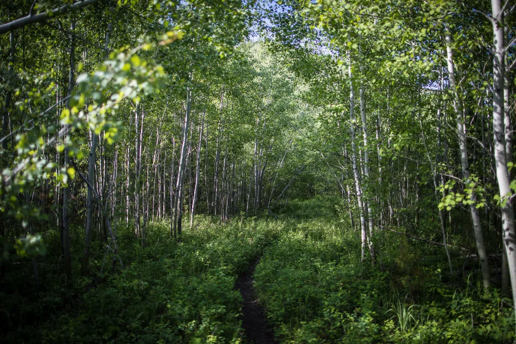 Forest and Fire Nature TrailHikingPhoto: NPS / public domain0.5 mi
 Gv Mtn SpurHikingPhoto: LukeDetwiler, CC BY 2.0 (via Flickr)1.6 mi
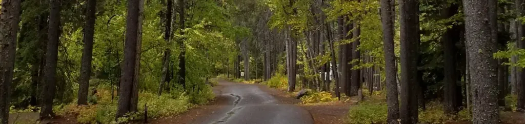 Apgar Group SitesCampingPhoto: Recreation.gov (RIDB) / public domain9.8 mi
Source: Roamze catalog (indexable pages within 10 miles, PostGIS distance)
Forest and Fire Nature Trail Fire EcologyHiking · Next doorPhoto: astrophotography_andy, CC BY 2.0 (via Flickr)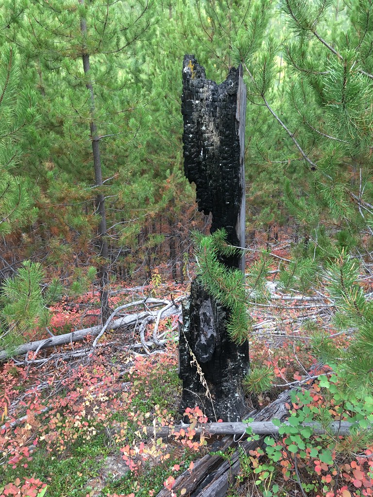 Huckleberry Mtn InterpretiveHiking · Next doorPhoto: alex ranaldi, CC BY-SA 2.0 (via Flickr)
 Huckleberry LookoutHiking · ~9 min drivePhoto: alex ranaldi, CC BY-SA 2.0 (via Flickr)
 Howe Ridge TrailHiking · ~13 min drivePhoto: LukeDetwiler, CC BY 2.0 (via Flickr)
 Old Flathead River RSHiking · ~19 min drivePhoto: Forest Service - Northern Region, Public Domain Mark (via Flickr)Gv Mtn SpurHiking · ~3 min drivePhoto: LukeDetwiler, CC BY 2.0 (via Flickr)
 WARMING HUT LOOPHiking · ~19 min drivePhoto: Donnie Clapp for Whitefish Mountain Resort, CC BY-SA 4.0 (via Wikimedia Commons)
 Moose PeakHiking · ~20 min drivePhoto: Forest Service - Northern Region, Public Domain Mark (via Flickr)
About 13.7 mi round trip.
About 3,054 ft of climbing round trip.
It is rated hard.
About 6 hours round trip.
