Big Creek Campground
Campground
Campground · 2.2 mi from the trail
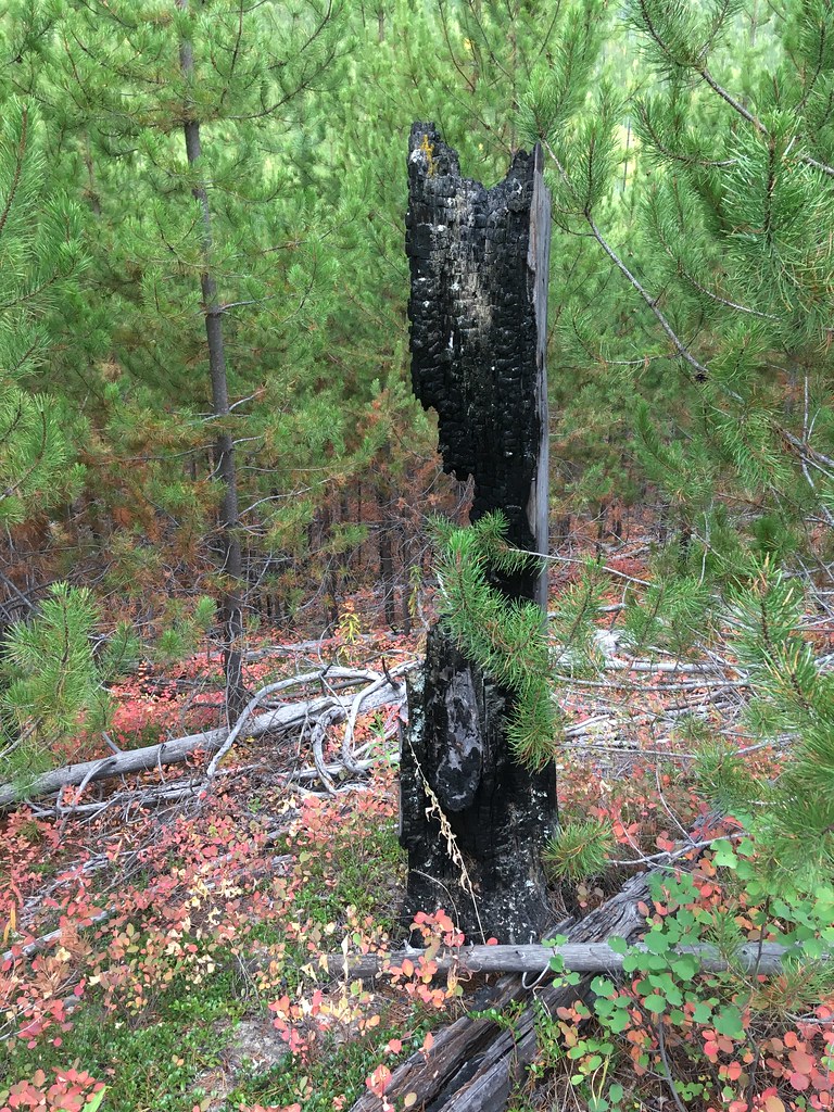 Photo: alex ranaldi, CC BY-SA 2.0 (via Flickr)
Closure in the area
There's a closure order in Glacier National Park. It doesn't name Huckleberry Mtn Interpretive, so check the source for the area it covers.
Going-to-the-Sun Road Seasonal Closure
Park closure covering Glacier National Park · NPS · Glacier National Park
As of · Source: NPS · Glacier National Park. Agencies don't list every closure — check before you go.
Huckleberry Mtn Interpretive is a 0.90-mile loop trail in Montana managed by the National Park Service. The trail gains 99 feet of elevation.
Big Creek Campground
Campground
Eddie's Cafe
Restaurant
The Bruck Bus-Truck
Attraction
Places © OpenStreetMap contributors
More in WhitefishNot on Roamze yet. Their page has how to reach them.
Best months: July–September. Best months have typical highs of 55–85 °F, lows of 30 °F or warmer (32 °F where the station doesn't record snow), at most one snowy day and no more than 12 wet days.
Jan
30° / 19°
18 wet
Feb
34° / 19°
15 wet
Mar
42° / 25°
15 wet
Apr
53° / 31°
14 wet
May
64° / 39°
14 wet
Jun
70° / 45°
14 wet
Jul
80° / 50°
9 wet
Aug
79° / 48°
7 wet
Sep
68° / 41°
9 wet
Oct
52° / 33°
13 wet
Nov
37° / 26°
16 wet
Dec
29° / 20°
18 wet
Typical high / low (°F) and days with rain or snow, 1991–2020. Measured at W Glacier, MT, 10.8 mi away at 3,148 ft. We don't have this place's elevation, so higher spots nearby can run cooler. This station doesn't record snowfall. Source: NOAA NCEI U.S. Climate Normals 1991–2020.
HIKE
Forest and Fire Nature Trail
Next door
Welcome to the Forest & Fire Nature Trail. Depending on where you’re from, the word “wildfire” can be letters on a page or... a whole lot more. For some, the word “wildfire” can trigger dramatic and visceral recall of the sights, sounds, smells, and tastes of the earth on fir…
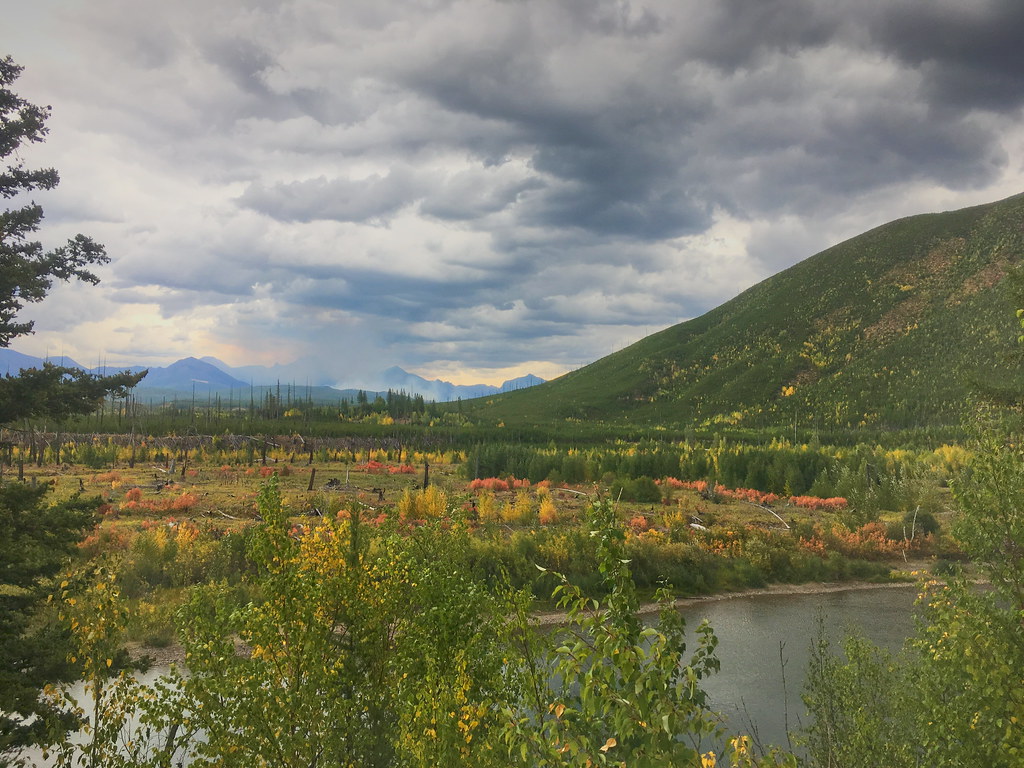 Photo: alex ranaldi, CC BY-SA 2.0 (via Flickr)
Demers Ridge
Next door
13.68-mile out-and-back trail on a ridge in Montana with 3,054 ft gain
 Photo: LukeDetwiler, CC BY 2.0 (via Flickr)
Gv Mtn Spur
~4 min drive
2.84-mile out-and-back trail in Montana with 575 ft elevation gain.
 Photo: LukeDetwiler, CC BY 2.0 (via Flickr)
Howe Ridge Trail
~12 min drive
18.5-mile out-and-back trail in Montana with 4,177 ft elevation gain and loss.
 Photo: Forest Service - Northern Region, Public Domain Mark (via Flickr)
Old Flathead River RS
~19 min drive
16.54-mile out-and-back trail in Montana with 430 ft elevation gain.
 Photo: astrophotography_andy, CC BY 2.0 (via Flickr)
Forest and Fire Nature Trail Fire Ecology
Next door
This trail is a great place to explore a post-fire environment. Any disturbance—whether that’s a fire, an avalanche, a landslide, or a pest outbreak—resets the ecological clock. The mature trees die, opening the canopy to light and making way for new species to take hold. Grad…
 Photo: alex ranaldi, CC BY-SA 2.0 (via Flickr)
Huckleberry Lookout
~8 min drive
11.5-mile out-and-back trail to Huckleberry Lookout in Montana, 2,706 ft elevation gain.
 Photo: timmccrackenjr, CC BY 2.0 (via Flickr)
McGee Meadow Ski Trail
~9 min drive
1.08-mile out-and-back ski trail in Montana with 125 ft gain
 Photo: GlacierNPS, Public Domain Mark (via Flickr)
Snyder Ridge Trail
~21 min drive
21.2-mile out-and-back hike in Montana with 4,317 ft gain/loss.
HIKE
Du Hein
~4 min drive
2.97-mile out-and-back trail in Montana with 136 ft elevation gain.
