Big Creek Campground
Campground
Campground · 2.2 mi from the trail
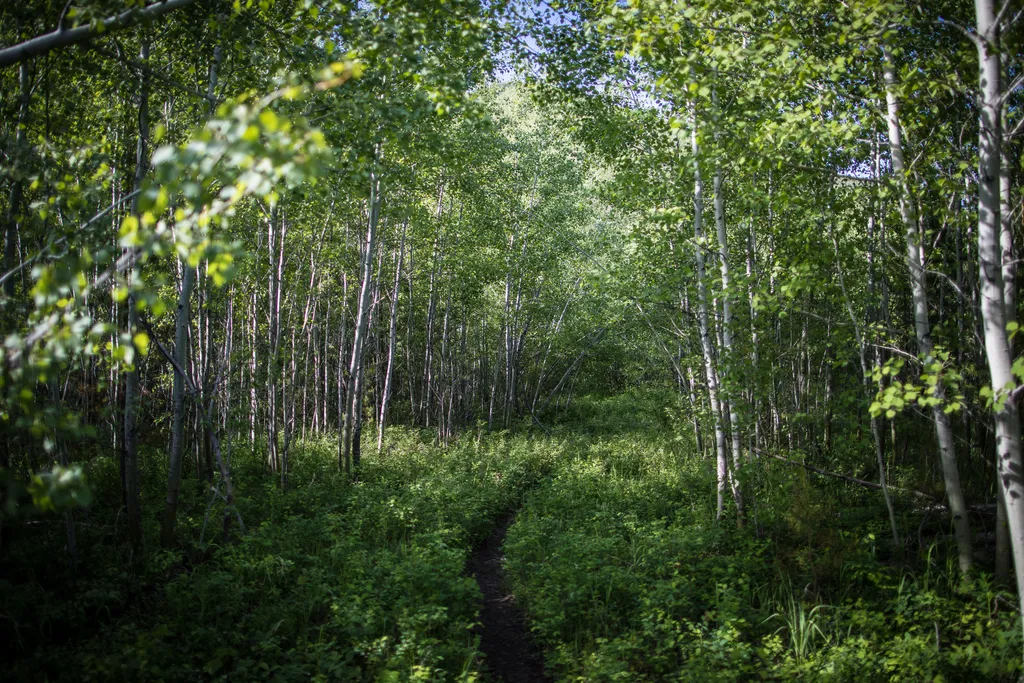 Photo: NPS / public domain
Closure in the area
There's a closure order in Glacier National Park. It doesn't name Forest and Fire Nature Trail, so check the source for the area it covers.
Going-to-the-Sun Road Seasonal Closure
Park closure covering Glacier National Park · NPS · Glacier National Park
As of · Source: NPS · Glacier National Park. Agencies don't list every closure — check before you go.
Welcome to the Forest & Fire Nature Trail. Depending on where you’re from, the word “wildfire” can be letters on a page or... a whole lot more. For some, the word “wildfire” can trigger dramatic and visceral recall of the sights, sounds, smells, and tastes of the earth on fire. Fire has long had a strong hand in shaping Glacier’s landscape. The following exhibits show and tell the story of fire and forests in Glacier National Park over the last hundred or so years. You are encouraged to consider how that relationship has evolved over time. The parking lot of this trailhead has a series of exhibits about wildfire. Some of them are in the middle of the parking lot and another is nearby at the start of the trail. There is an audio tour of the exhibits that reads and describes the panels, as well as an additional audio stop along the trail. The Forest & Fire Nature Trail itself does not have any exhibits but offers the chance to see the effects of fire for yourself. Forest & Fire Nature Trail Distance: 1.1 mi (1.7 km), loop Trailhead: Camas Road, 0.5 miles east of intersection with North Fork Road While in Glacier National Park, please maintain extra awareness around water, steep dropoffs, and wildlife. You are responsible for your own safety.
Big Creek Campground
Campground
Eddie's Cafe
Restaurant
The Bruck Bus-Truck
Attraction
Places © OpenStreetMap contributors
More in WhitefishNot on Roamze yet. Their page has how to reach them.
Best months: May–September. Best months have typical highs of 55–85 °F, lows of 30 °F or warmer (32 °F where the station doesn't record snow), at most one snowy day and no more than 12 wet days.
Jan
31° / 10°
Feb
35° / 8°
Mar
44° / 16°
Apr
54° / 24°
May
63° / 32°
Jun
70° / 39°
Jul
81° / 40°
Aug
82° / 38°
Sep
70° / 32°
Oct
54° / 26°
Nov
39° / 19°
Dec
31° / 10°
Typical high / low (°F) and days with rain or snow, 1991–2020. Measured at Polebridge, MT, 12 mi away at 3,520 ft. This station doesn't record snowfall. Source: NOAA NCEI U.S. Climate Normals 1991–2020.
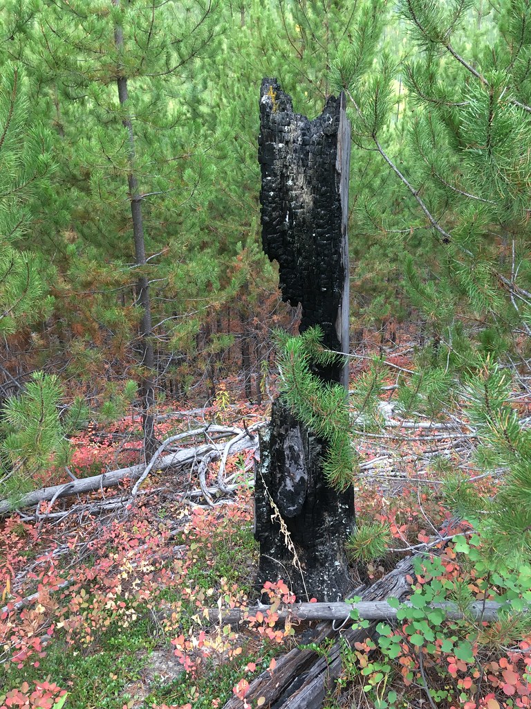 Photo: alex ranaldi, CC BY-SA 2.0 (via Flickr)
Huckleberry Mtn Interpretive
Next door
0.90-mile loop trail in Montana with 99 ft elevation gain.
 Photo: astrophotography_andy, CC BY 2.0 (via Flickr)
Forest and Fire Nature Trail Fire Ecology
Next door
This trail is a great place to explore a post-fire environment. Any disturbance—whether that’s a fire, an avalanche, a landslide, or a pest outbreak—resets the ecological clock. The mature trees die, opening the canopy to light and making way for new species to take hold. Grad…
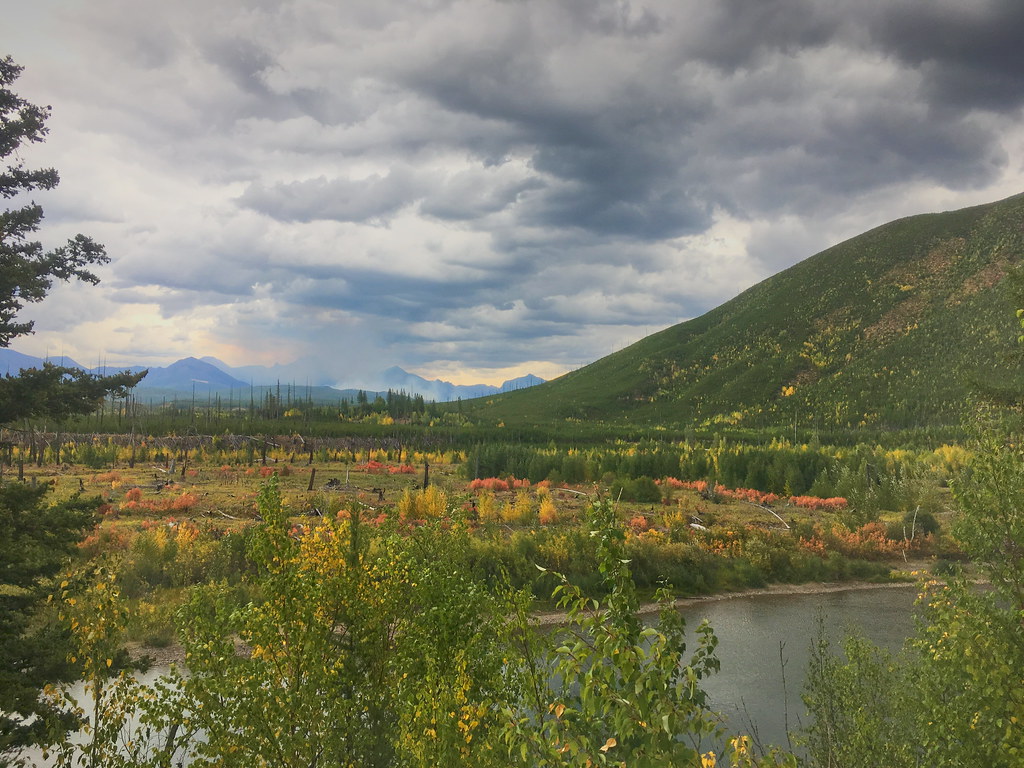 Photo: alex ranaldi, CC BY-SA 2.0 (via Flickr)
Demers Ridge
Next door
13.68-mile out-and-back trail on a ridge in Montana with 3,054 ft gain
 Photo: LukeDetwiler, CC BY 2.0 (via Flickr)
Howe Ridge Trail
~12 min drive
18.5-mile out-and-back trail in Montana with 4,177 ft elevation gain and loss.
 Photo: Forest Service - Northern Region, Public Domain Mark (via Flickr)
Old Flathead River RS
~19 min drive
16.54-mile out-and-back trail in Montana with 430 ft elevation gain.
 Photo: LukeDetwiler, CC BY 2.0 (via Flickr)
Gv Mtn Spur
~4 min drive
2.84-mile out-and-back trail in Montana with 575 ft elevation gain.
 Photo: Daniel Weber, Public Domain Dedication (CC0) (via Flickr)
Rocky Point Trailhead
~15 min drive
The Rocky Point Trail follows along the western shore of Lake McDonald, within the burn scar of the Roberts Fire (2003). It offers beach access and excellent views of Lake McDonald. The trail is lollipop-shaped. Rocky Point Distance: 0.7 mile (1.1 km), loop Elevation gain: 2…
 Photo: alex ranaldi, CC BY-SA 2.0 (via Flickr)
Huckleberry Lookout
~8 min drive
11.5-mile out-and-back trail to Huckleberry Lookout in Montana, 2,706 ft elevation gain.
HIKE
Logging Lake Trail
~10 min drive
24.7-mile out-and-back trail in Montana with 3,092 ft elevation gain and loss.
 Photo: Forest Service - Northern Region, Public Domain Mark (via Flickr)
Moose Peak
~21 min drive
5.50-mile out-and-back trail in Montana with 1,821 ft gain.
