Fish Creek
Campground
Campground · 1.5 mi from the trail
 Photo: LukeDetwiler, CC BY 2.0 (via Flickr)
Closure in the area
There's a closure order in Glacier National Park. It doesn't name Howe Ridge Trail, so check the source for the area it covers.
Going-to-the-Sun Road Seasonal Closure
Park closure covering Glacier National Park · NPS · Glacier National Park
As of · Source: NPS · Glacier National Park. Agencies don't list every closure — check before you go.
Howe Ridge Trail is a 9.25-mile, out-and-back hike in Glacier National Park in northwest Montana, managed by the National Park Service. The trail runs from an elevation of about 3,489 feet to a high point of about 5,120 feet, with a total elevation gain of roughly 4,177 feet. That makes it a long, steep route, and the climb is rated expert. The most comfortable months for a visit are July and August, when typical averages from a nearby weather station run around 73°F for the high and 45°F for the low, with the fewest wet days of the year. Winters there are harsh, with typical January highs near 32°F and lows around 15°F. The trail starts close to several other places. Fish Creek to Apgar Hiking Path is about 1.3 miles away, and Rocky Point Nature Trail is about 1.4 miles away. Howe Lake Trail is about 2.3 miles off. Apgar Group Sites, about 3.1 miles away, offers camping.
Fish Creek
Campground
Eddie's Cafe
Restaurant
The Bruck Bus-Truck
Attraction
Places © OpenStreetMap contributors
More in WhitefishNot on Roamze yet. Their page has how to reach them.
 Fish Creek to Apgar Hiking PathHikingPhoto: GlacierNPS, Public Domain Mark (via Flickr)1.3 mi
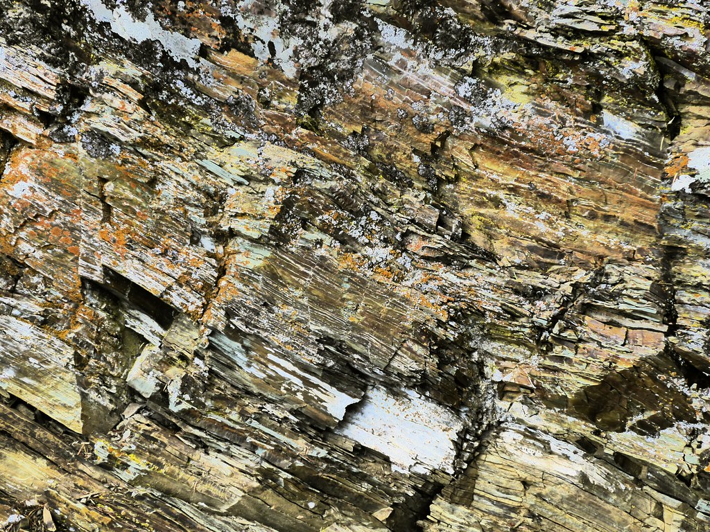 Rocky Point Nature TrailHikingPhoto: roy.luck, CC BY 2.0 (via Flickr)1.4 mi
 McGee Meadow Ski TrailHikingPhoto: timmccrackenjr, CC BY 2.0 (via Flickr)2.2 mi
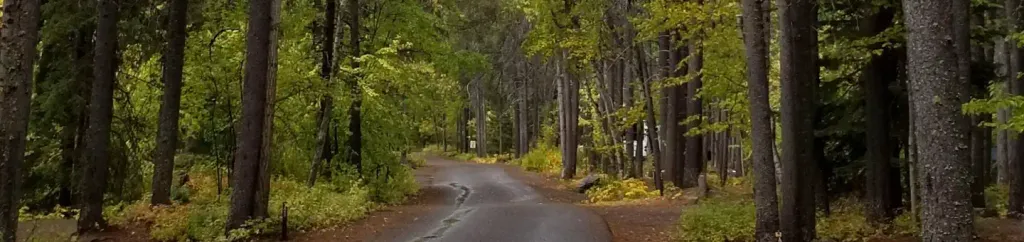 Apgar Group SitesCampingPhoto: Recreation.gov (RIDB) / public domain3.1 mi
Source: Roamze catalog (indexable pages within 10 miles, PostGIS distance)
Fish Creek to Apgar Hiking PathHiking · ~2 min drivePhoto: GlacierNPS, Public Domain Mark (via Flickr) Rocky Point TrailheadHiking · ~3 min drivePhoto: Daniel Weber, Public Domain Dedication (CC0) (via Flickr)
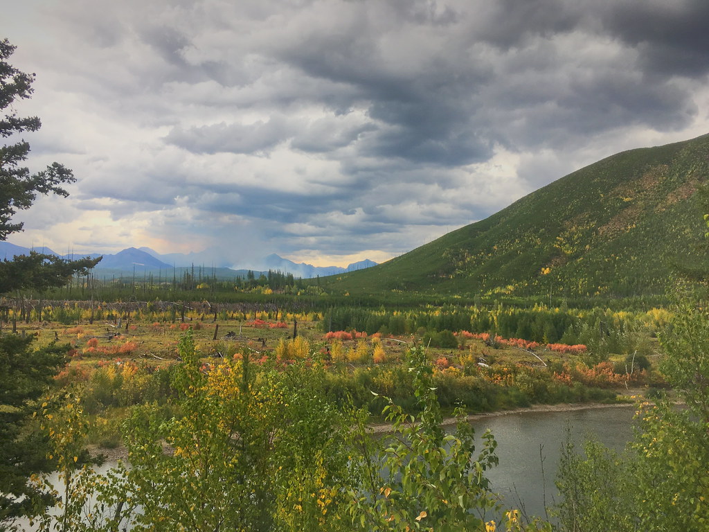 Demers RidgeHiking · ~13 min drivePhoto: alex ranaldi, CC BY-SA 2.0 (via Flickr)
 Upper McDonald Creek TrailHiking · ~13 min drivePhoto: Tony Webster, CC BY 2.0 (via Flickr)
 Snyder Ridge TrailHiking · ~10 min drivePhoto: GlacierNPS, Public Domain Mark (via Flickr)Rocky Point Nature TrailHiking · ~2 min drivePhoto: roy.luck, CC BY 2.0 (via Flickr)
 Forest and Fire Nature Trail Fire EcologyHiking · ~12 min drivePhoto: astrophotography_andy, CC BY 2.0 (via Flickr)
 Ousel PeakHiking · ~14 min drivePhoto: ludger.heide, CC BY-SA 2.0 (via Flickr)
 Old Flathead River RSHiking · ~13 min drivePhoto: Forest Service - Northern Region, Public Domain Mark (via Flickr)
Best months: June–September. Best months have typical highs of 55–85 °F, lows of 30 °F or warmer (32 °F where the station doesn't record snow), at most one snowy day and no more than 12 wet days.
Jan
32° / 15°
15 wet
Feb
31° / 14°
14 wet
Mar
38° / 20°
16 wet
Apr
45° / 28°
14 wet
May
56° / 35°
13 wet
Jun
63° / 42°
12 wet
Jul
73° / 46°
9 wet
Aug
73° / 45°
8 wet
Sep
63° / 39°
9 wet
Oct
49° / 32°
12 wet
Nov
37° / 25°
14 wet
Dec
31° / 17°
15 wet
Typical high / low (°F) and days with rain or snow, 1991–2020. Measured at St. Mary 1 Ssw, MT, 28.5 mi away at 4,555 ft. The station sits about 600 ft lower than this place, so expect it a little cooler here. This station doesn't record snowfall. Source: NOAA NCEI U.S. Climate Normals 1991–2020.
Map and trail data © OpenStreetMap contributors

