Big Creek Campground (Flathead NF, MT)
Campground
Campground · 2.6 mi from the trail
Alert in the area
The Forest Service lists 6 alerts for Flathead National Forest.
Ashley Lake North Campground Closure
Agency alert covering Flathead National Forest · Order 01-10- · USFS · Flathead National Forest
Camp Creek Fire Updated Trail Closure
Agency alert covering Flathead National Forest · Order 01-10- · USFS · Flathead National Forest
FK&L Area Closed to Public Access Starting July 22, 2026
Agency alert covering Flathead National Forest · Order 01-10- · USFS · Flathead National Forest
Trail 800 Tally-Ashely Closure
Agency alert covering Flathead National Forest · Order 01-10- · USFS · Flathead National Forest
Ryan Creek Occupancy and Use Order
Agency alert covering Flathead National Forest · Order 1-10- · USFS · Flathead National Forest
As of · Source: USFS · Flathead National Forest. Agencies don't list every closure — check before you go.
Great Northern Flats River Access is a boat launch in the Glacier View Ranger District of Flathead National Forest in Montana, about 8 miles from the town of West Glacier. It is a simple put-in with vault toilets, and no fees are required to use the site. Summer is the most comfortable time to visit. Typical averages from a nearby weather station in West Glacier show July and August highs around 80°F, with July lows near 50°F and fewer wet days than the rest of the year. Winters are cold, with January highs around 30°F. Big Creek Campground sits about 2.6 miles away, and the Du Hein and Gv Mtn Spur hikes are both within 3.5 miles. Paddlers can also look to Big Creek, about 6.7 miles off.
Big Creek Campground (Flathead NF, MT)
Campground
Eddie's Cafe
Restaurant
The Bruck Bus-Truck
Attraction
Places © OpenStreetMap contributors
More in Whitefish Gv Mtn SpurHikingPhoto: LukeDetwiler, CC BY 2.0 (via Flickr)3.4 mi
 Forest and Fire Nature Trail Fire EcologyHikingPhoto: astrophotography_andy, CC BY 2.0 (via Flickr)3.6 mi
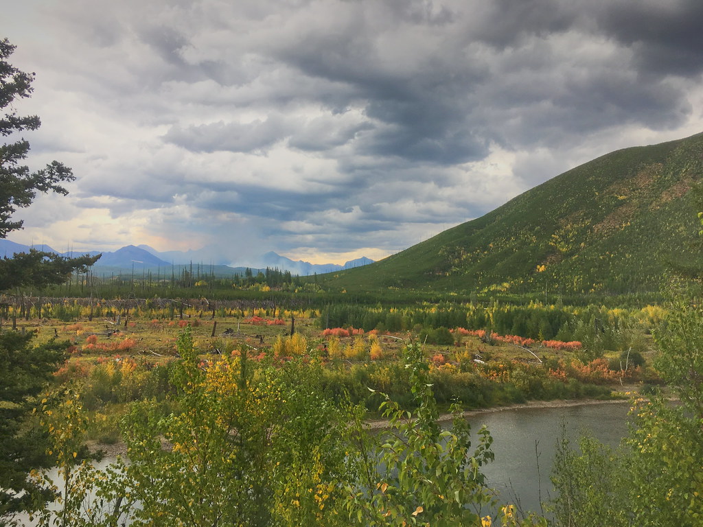 Demers RidgeHikingPhoto: alex ranaldi, CC BY-SA 2.0 (via Flickr)3.6 mi
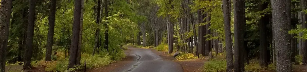 Apgar Group SitesCampingPhoto: Recreation.gov (RIDB) / public domain7.4 mi
Source: Roamze catalog (indexable pages within 10 miles, PostGIS distance)
 Saint Mary RiverCanoeing · ~38 min drivePhoto: Royalbroil, CC BY-SA 3.0 (via Wikimedia Commons)
 Stillwater RiverCanoeing · ~49 min drivePhoto: Joe Mabel (on Flickr as Joe Mabel from Seattle, US), CC BY-SA 3.0 (via Wikimedia Commons)
Best months: July–September. Best months have typical highs of 55–85 °F, lows of 30 °F or warmer (32 °F where the station doesn't record snow), at most one snowy day and no more than 12 wet days.
Jan
30° / 19°
18 wet
Feb
34° / 19°
15 wet
Mar
42° / 25°
15 wet
Apr
53° / 31°
14 wet
May
64° / 39°
14 wet
Jun
70° / 45°
14 wet
Jul
80° / 50°
9 wet
Aug
79° / 48°
7 wet
Sep
68° / 41°
9 wet
Oct
52° / 33°
13 wet
Nov
37° / 26°
16 wet
Dec
29° / 20°
18 wet
Typical high / low (°F) and days with rain or snow, 1991–2020. Measured at W Glacier, MT, 8.2 mi away at 3,148 ft. We don't have this place's elevation, so higher spots nearby can run cooler. This station doesn't record snowfall. Source: NOAA NCEI U.S. Climate Normals 1991–2020.
