
North American RV Park & Yurt Village
Hiking business nearby (~21 mi away) — hasn't claimed their Roamze page yet
Free — you'll pick up right here.
Watch this trail
Sign up to watch it — saving subscribes you to gate, closure and report changes.
Montana
5.5 mi
Distance
1,821 ft
Gain
2h 44m
Time
We won't guess. Here is exactly what we do and don't know.
What we do know
Inside Flathead National Forest
2 managing-area boundaries mapped — agency alerts for them feed this page automatically.
Boundary data
What's missing
No access route mapped
We don't yet know which road reaches this trailhead, so we can't tell you if it's gated.
Nobody's filed a report here yet — be the first.
Why you'll love it
Moose Peak
AI-suggested draft · review before you go
No permit or access details on file for this trail — check with the local land manager before you go.
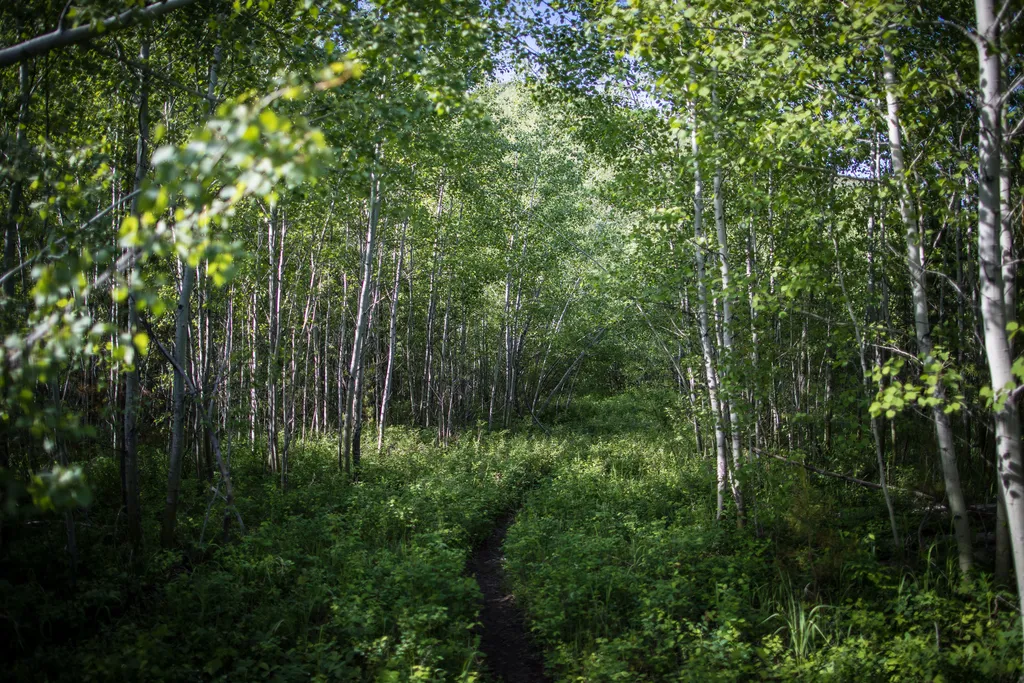
Moose Peak is a moderate 5.5-mile round-trip hike featuring nearly 1,800 feet of elevation gain through Montana's backcountry. This trail climbs steadily through forested terrain with expanding views as you gain elevation, culminating at a scenic peak vantage point. The route offers a rewarding day hike experience with solid aerobic challenge and panoramic mountain vistas.
Forest and Fire Nature Trail
~21 min drive
Welcome to the Forest & Fire Nature Trail. Depending on where you’re from, the word “wildfire” can be letters on a page or... a whole lot more. For some, the word “wildfire” can trigger dramatic and visceral recall of the sights, sounds, smells, and tastes of the earth on fir…
Deadhorse Ridge Moose Lake
~2 min drive
Challenging 15.65-mile ridge and lake hike with 1,852 ft elevation gain.
Deadhorse-Elelehum
~8 min drive
Scenic 5.5-mile Montana day hike with minimal elevation gain.
Canyon Sm
~9 min drive
Scenic 5.7-mile canyon hike with moderate elevation gain near Canyon, MT.
Hidden Meadow Trailhead
~18 min drive
This peaceful and relatively flat trail takes you to a meadow and pond with good birding opportunities. Hidden Meadow Distance: 1.5 mi (2.4 km), one way Elevation gain: 337 ft (103 m) Elevation loss: 103 ft (31 m) Trailhead: 3 miles south of Polebridge Ranger Station While i…
Hallowat Creek
~3 min drive
Moderate 7.85-mile creek drainage hike with 975 ft elevation gain.
Coal Creek Coal Ridge
~9 min drive
Steep 3.78-mile ridge climb with 2,463 ft elevation gain.
Haines Pass
~12 min drive
Scenic 2.8-mile alpine pass with 858 ft elevation gain.
Forest and Fire Nature Trail Fire Ecology
~21 min drive
This trail is a great place to explore a post-fire environment. Any disturbance—whether that’s a fire, an avalanche, a landslide, or a pest outbreak—resets the ecological clock. The mature trees die, opening the canopy to light and making way for new species to take hold. Grad…
Forks Patrol
~8 min drive
Remote 16-mile backcountry trail with 2,400 ft gain through Montana wilderness.
Local operatorsoffering guided trips. You book directly with them — Roamze doesn’t take a cut.
North American RV Park & Yurt Village
Hiking business nearby (~21 mi away) — hasn't claimed their Roamze page yet
Rocky Mountain Outfitter
Hiking business nearby (~30 mi away) — hasn't claimed their Roamze page yet
Indian Springs Montana
Hiking business nearby (~36 mi away) — hasn't claimed their Roamze page yet