Moose Lake Campground
Campground
Campground · 4.6 mi from the trail
Alert in the area
The Forest Service lists 6 alerts for Flathead National Forest.
Ashley Lake North Campground Closure
Agency alert covering Flathead National Forest · Order 01-10- · USFS · Flathead National Forest
Camp Creek Fire Updated Trail Closure
Agency alert covering Flathead National Forest · Order 01-10- · USFS · Flathead National Forest
FK&L Area Closed to Public Access Starting July 22, 2026
Agency alert covering Flathead National Forest · Order 01-10- · USFS · Flathead National Forest
Trail 800 Tally-Ashely Closure
Agency alert covering Flathead National Forest · Order 01-10- · USFS · Flathead National Forest
Ryan Creek Occupancy and Use Order
Agency alert covering Flathead National Forest · Order 1-10- · USFS · Flathead National Forest
As of · Source: USFS · Flathead National Forest. Agencies don't list every closure — check before you go.
Deadhorse-Elelehum is an out-and-back hike in the Glacier View Ranger District of Flathead National Forest in Montana. The trail runs about 5.5 miles long, with a moderate climb of 235 feet from a low point of 4,079 feet to a high of 4,630 feet. The Forest Service manages the land, and the route lies within the Glacier View Ranger District of Flathead National Forest. The trail is a natural-surface path, and bikes are allowed, so the route suits both hikers and riders. The most comfortable stretch for a visit is summer, when typical July and August highs reach the low 80s with lows around 40, based on averages from a nearby weather station at Polebridge. That station sits about 1,100 feet lower than the trail's high point, so temperatures up top run cooler. The trail is open from June 1 to September 30. Nearby, Skookoleel Creek offers cross-country skiing within about 3 miles, and Big Creek is a canoeing spot at a similar distance. Moose Lake Campground is about 4.6 miles away, and Forks Patrol is a hiking option at about 3.4 miles.
Moose Lake Campground
Campground
Summit House
Restaurant
The Bruck Bus-Truck
Attraction
Places © OpenStreetMap contributors
More in WhitefishNot on Roamze yet. Their page has how to reach them.
Source: Roamze catalog (indexable pages within 10 miles, PostGIS distance)
 Moose PeakHiking · ~8 min drivePhoto: Forest Service - Northern Region, Public Domain Mark (via Flickr)
 Gv Mtn SpurHiking · ~9 min drivePhoto: LukeDetwiler, CC BY 2.0 (via Flickr)
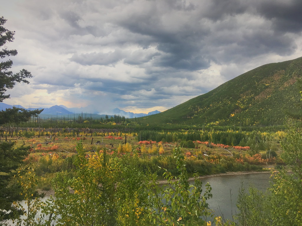 Demers RidgeHiking · ~12 min drivePhoto: alex ranaldi, CC BY-SA 2.0 (via Flickr)
 Forest and Fire Nature Trail Fire EcologyHiking · ~13 min drivePhoto: astrophotography_andy, CC BY 2.0 (via Flickr)
 Runaway TrainHiking · ~15 min drivePhoto: Donnie Clapp for Whitefish Mountain Resort, CC BY-SA 4.0 (via Wikimedia Commons)
 SUMMIT HOUSE SMHiking · ~15 min drivePhoto: Slipshod Photog, CC BY 2.0 (via Flickr)
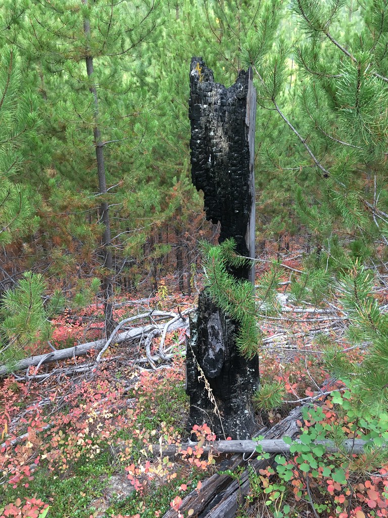 Huckleberry Mtn InterpretiveHiking · ~13 min drivePhoto: alex ranaldi, CC BY-SA 2.0 (via Flickr)WARMING HUT LOOPHiking · ~13 min drivePhoto: Donnie Clapp for Whitefish Mountain Resort, CC BY-SA 4.0 (via Wikimedia Commons)
Best months: May–September. Best months have typical highs of 55–85 °F, lows of 30 °F or warmer (32 °F where the station doesn't record snow), at most one snowy day and no more than 12 wet days.
Jan
31° / 10°
Feb
35° / 8°
Mar
44° / 16°
Apr
54° / 24°
May
63° / 32°
Jun
70° / 39°
Jul
81° / 40°
Aug
82° / 38°
Sep
70° / 32°
Oct
54° / 26°
Nov
39° / 19°
Dec
31° / 10°
Typical high / low (°F) and days with rain or snow, 1991–2020. Measured at Polebridge, MT, 9.5 mi away at 3,520 ft. The station sits about 1,100 ft lower than this place, so expect it a little cooler here. This station doesn't record snowfall. Source: NOAA NCEI U.S. Climate Normals 1991–2020.
