Holbrook-2
Campground
Campground · 2.3 mi from the trail
 Photo: Donnie Clapp for Whitefish Mountain Resort, CC BY-SA 4.0 (via Wikimedia Commons)
Alert in the area
The Forest Service lists 5 alerts for Flathead National Forest.
Camp Creek Fire Updated Trail Closure
Agency alert covering Flathead National Forest · Order 01-10- · USFS · Flathead National Forest
FK&L Area Closed to Public Access Starting July 22, 2026
Agency alert covering Flathead National Forest · Order 01-10- · USFS · Flathead National Forest
Trail 800 Tally-Ashely Closure
Agency alert covering Flathead National Forest · Order 01-10- · USFS · Flathead National Forest
Ryan Creek Occupancy and Use Order
Agency alert covering Flathead National Forest · Order 1-10- · USFS · Flathead National Forest
Logan Creek Hoke Creek Closure
Agency alert covering Flathead National Forest · Order 01-10- · USFS · Flathead National Forest
As of · Source: USFS · Flathead National Forest. Agencies don't list every closure — check before you go.
Runaway Train is an expert-level hike in the Tally Lake Ranger District of Montana's Flathead National Forest. The route is an out-and-back that climbs from about 6,650 feet to roughly 6,670 feet at its high point, with a total elevation gain of 4,254 feet over its 5.8-mile length. The steepest stretch comes early, with a 30% grade within the first 0.2 miles. The trail is on natural surface, bikes are allowed, and it is not accessible. It sits in a cluster of routes and trailheads. Freebird and East Rim Loop both start about 0.1 mile away, and Kashmir is about 0.2 mile off. For mountain biking, the East Rim trail is about 0.2 mile away. The trip is rated expert, and the Forest Service lists the trail as open year-round. The parking is named Danny on Trailhead. Plan on about four hours for the round trip.
Holbrook-2
Campground
Summit House
Restaurant
Places © OpenStreetMap contributors
More in WhitefishNot on Roamze yet. Their page has how to reach them.
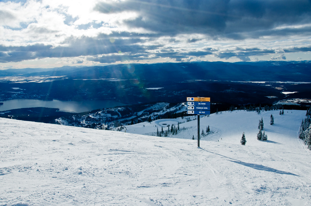 Photo: Slipshod Photog, CC BY 2.0 (via Flickr)
Freebird
Next door
4.70-mile out-and-back trail in Montana with 350 ft gain and 2,002 ft loss.
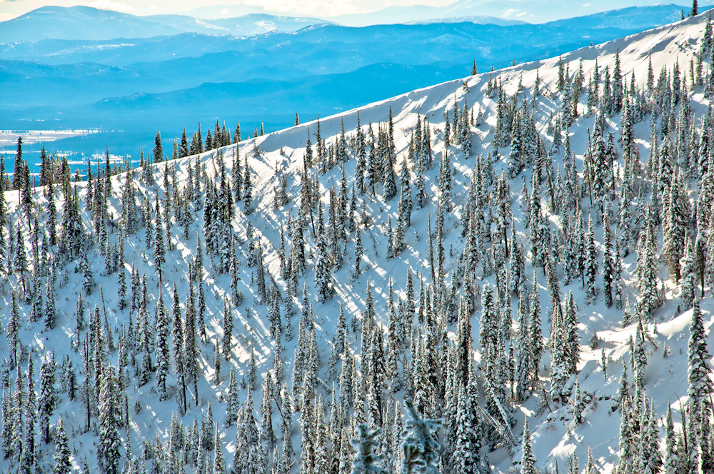 Photo: Slipshod Photog, CC BY 2.0 (via Flickr)
East Rim Loop
Next door
0.40-mile loop in Montana with 191 ft gain and 230 ft loss.
Photo: Donnie Clapp for Whitefish Mountain Resort, CC BY-SA 4.0 (via Wikimedia Commons)Kashmir
Next door
6.64-mile out-and-back trail in Montana with 248 ft gain and 1,682 ft loss.
HIKE
Whitefish Trail - Skyles Connection
~12 min drive
10.94-mile out-and-back trail in Montana with 2,145 ft elevation gain/loss
 Photo: Slipshod Photog, CC BY 2.0 (via Flickr)
Danny on - Long Way
~1 min drive
3.60-mile out-and-back trail in Montana with 572 ft gain.
 Photo: jasonwoodhead23, CC BY 2.0 (via Flickr)
Journey Trail
~3 min drive
1.96-mile out-and-back trail in Montana with 689 ft elevation gain and loss.
Photo: Donnie Clapp for Whitefish Mountain Resort, CC BY-SA 4.0 (via Wikimedia Commons)WARMING HUT LOOP
~2 min drive
8.44-mile out-and-back trail in Montana with 2,739 ft elevation gain and loss.
 Photo: Slipshod Photog, CC BY 2.0 (via Flickr)
SUMMIT HOUSE SM
~2 min drive
2.56-mile out-and-back trail in Montana with 1,589 ft elevation gain
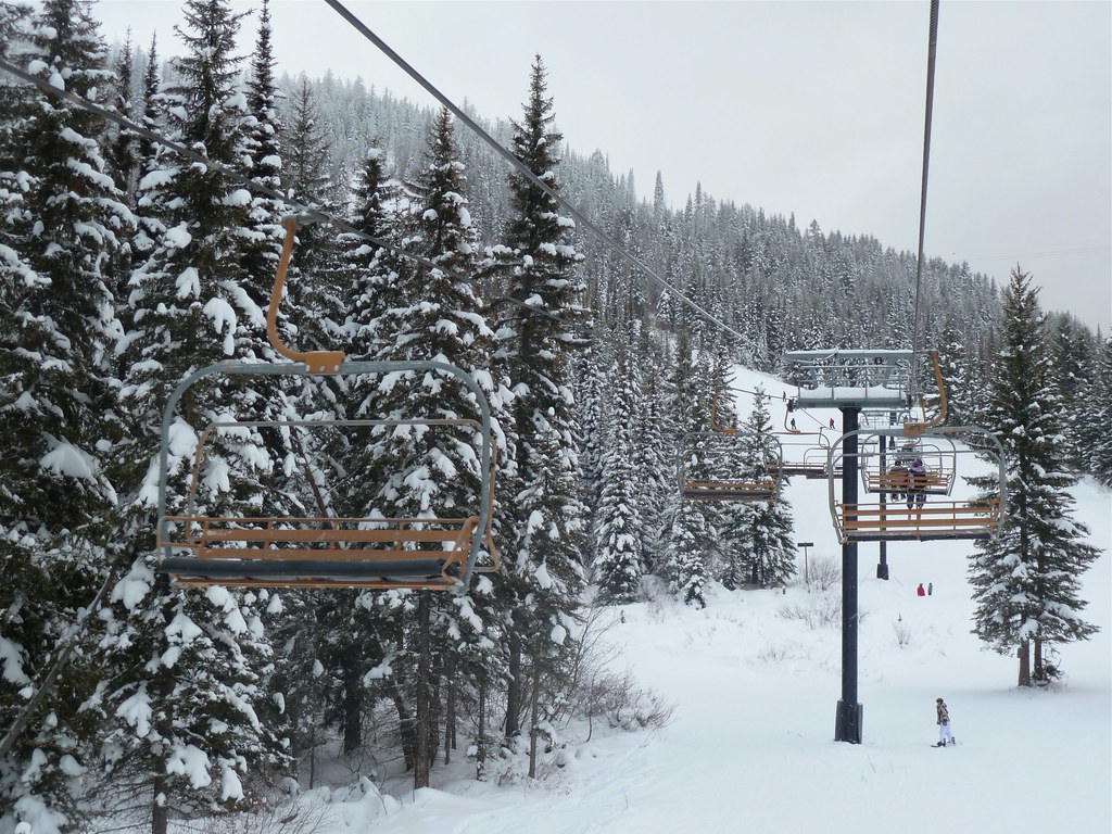 Photo: roy.luck, CC BY 2.0 (via Flickr)
Arnica Ridge Trail
~4 min drive
0.76-mile out-and-back trail in Montana with 164 ft of elevation gain
Photo: jasonwoodhead23, CC BY 2.0 (via Flickr)Reservoir Trail
~4 min drive
10.04-mile out-and-back hike in Montana with 2,396 ft elevation gain and loss.
