Holbrook-2
Campground
Campground · 2.9 mi from the trail
 Photo: Slipshod Photog, CC BY 2.0 (via Flickr)
Alert in the area
The Forest Service lists 5 alerts for Flathead National Forest.
Camp Creek Fire Updated Trail Closure
Agency alert covering Flathead National Forest · Order 01-10- · USFS · Flathead National Forest
FK&L Area Closed to Public Access Starting July 22, 2026
Agency alert covering Flathead National Forest · Order 01-10- · USFS · Flathead National Forest
Trail 800 Tally-Ashely Closure
Agency alert covering Flathead National Forest · Order 01-10- · USFS · Flathead National Forest
Ryan Creek Occupancy and Use Order
Agency alert covering Flathead National Forest · Order 1-10- · USFS · Flathead National Forest
Logan Creek Hoke Creek Closure
Agency alert covering Flathead National Forest · Order 01-10- · USFS · Flathead National Forest
As of · Source: USFS · Flathead National Forest. Agencies don't list every closure — check before you go.
SUMMIT HOUSE SM is a 2.56-mile out-and-back trail in Montana with 1,589 feet of elevation gain and loss. The route reaches a maximum elevation of 6,811 feet.
Holbrook-2
Campground
Summit House
Restaurant
Places © OpenStreetMap contributors
More in WhitefishNot on Roamze yet. Their page has how to reach them.
 Runaway TrainHiking · ~2 min drivePhoto: Donnie Clapp for Whitefish Mountain Resort, CC BY-SA 4.0 (via Wikimedia Commons)KashmirHiking · ~2 min drivePhoto: Donnie Clapp for Whitefish Mountain Resort, CC BY-SA 4.0 (via Wikimedia Commons)
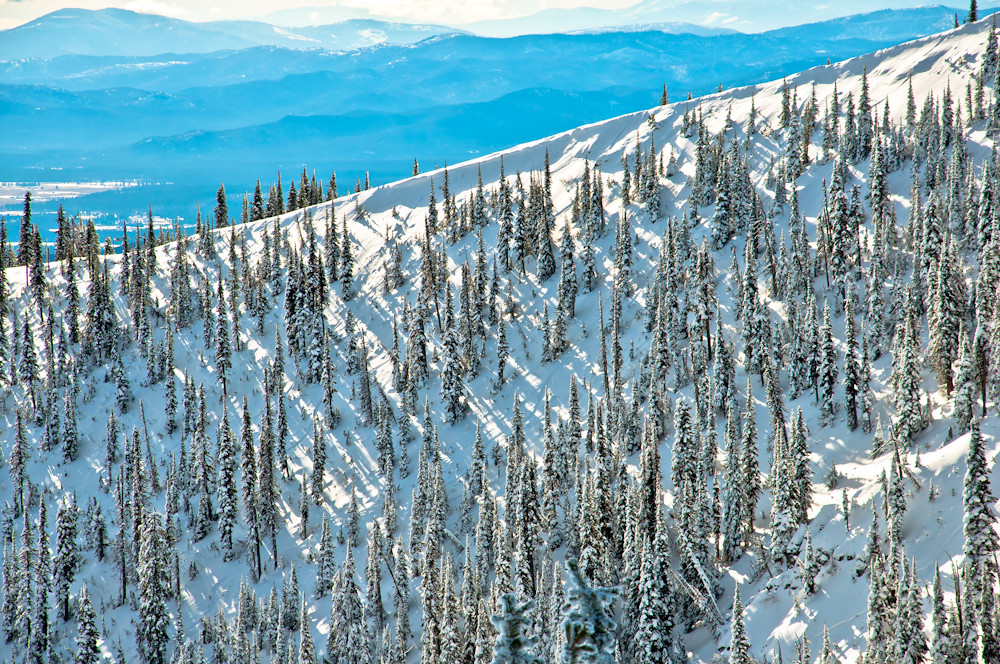 East Rim LoopHiking · ~2 min drivePhoto: Slipshod Photog, CC BY 2.0 (via Flickr)
 Danny on - Long WayHiking · ~3 min drivePhoto: Slipshod Photog, CC BY 2.0 (via Flickr)WARMING HUT LOOPHiking · ~2 min drivePhoto: Donnie Clapp for Whitefish Mountain Resort, CC BY-SA 4.0 (via Wikimedia Commons)
 Journey TrailHiking · ~4 min drivePhoto: jasonwoodhead23, CC BY 2.0 (via Flickr)
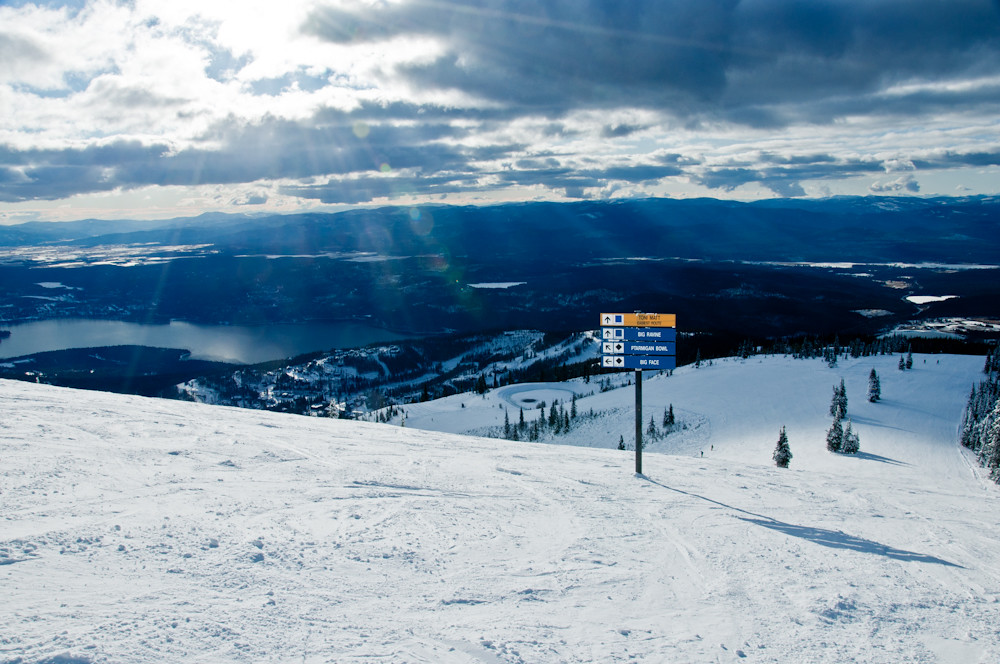 FreebirdHiking · ~2 min drivePhoto: Slipshod Photog, CC BY 2.0 (via Flickr)Reservoir TrailHiking · ~5 min drivePhoto: jasonwoodhead23, CC BY 2.0 (via Flickr)
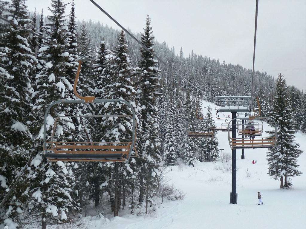 Arnica Ridge TrailHiking · ~5 min drivePhoto: roy.luck, CC BY 2.0 (via Flickr)
About 1.3 mi round trip.
About 1,589 ft of climbing round trip.
It is rated moderate.
About 1 hour round trip.
Daily highs and lows, wind and the chance of precipitation at the summit and route start for the next 7 days, from the Open-Meteo model.
