Katahdin Lake Trail
- 3.2 mi
- one way
- 339 ft
- climb
- 1,272 ft
- high point
- Point to point
- route
- May–Sep
- best months
Katahdin Lake Trail is an easy hike of about 3.2 miles in Baxter State Park in Maine. The trail climbs about 339 feet from a starting elevation of roughly 1,092 feet to a high point of about 1,272 feet, with the steepest stretch coming near 2.8 miles in. It is a point-to-point route, so you need to plan a way back from the end. The trail lies within Baxter State Park, managed by Maine's state park and recreation agency. It is not a loop, and it is not a long one. Plan on about an hour for the trip, and allow time to get back to the trailhead. Summer is the most comfortable time to go. Typical averages from a nearby weather station at Patten, at a lower elevation, show July highs around 76°F and lows near 55°F. That station sits about 450 feet below the trail, so temperatures on the route run a little cooler. Martin Ponds Trail starts about 0.1 mile away. The North Katahdin Lake Trail and the International Appalachian Trail New-Brunswick are both within about 2.3 miles, and the Barnard Mountain Trail is a little farther out.
- Martin Ponds TrailHiking0.1 mi
- j. The Maine Highlands (inc. BSP / Katahdin )Rock climbing1.3 mi
- North Katahdin Lake TrailHiking1.4 mi
- International Appalachian Trail New-BrunswickHiking2.3 mi
- Barnard Mountain TrailHiking2.3 mi
- KatahdinRock climbing4.8 mi
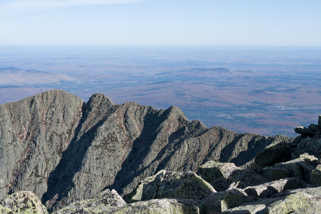
 North BasinRock climbingPhoto: Famartin, CC BY-SA 4.0 (via Wikimedia Commons)5.4 mi
- West Branch Penobscot RiverRiver fishing9.8 mi
Source: Roamze catalog (indexable pages within 10 miles, PostGIS distance)
 North Basin Cut-OffHiking · ~9 min drivePhoto: Pat Spinney, CC BY 2.0 (via Flickr)
 North Basin TrailHiking · ~9 min drivePhoto: davidwilson1949, CC BY 2.0 (via Flickr)
- North Peaks TrailHiking · ~11 min drivePhoto: Pat Spinney, CC BY 2.0 (via Flickr)
- International Appalachian Trail New-BrunswickHiking · ~4 min drive
 Baxter Peak Cutoff TrailHiking · ~12 min drivePhoto: barry.pousman, CC BY 2.0 (via Flickr)
- Chimney Pond TrailHiking · ~10 min drivePhoto: Pat Spinney, CC BY 2.0 (via Flickr)
- Abol Slide TrailHiking · ~12 min drivePhoto: barry.pousman, CC BY 2.0 (via Flickr)
 Logan Pond TrailHiking · ~13 min drivePhoto: daveynin, CC BY 2.0 (via Flickr)
 Dudley TrailHiking · ~10 min drivePhoto: davidwilson1949, CC BY 2.0 (via Flickr)
- South Turner Mountain TrailHiking · ~5 min drive
Best time to visit Katahdin Lake Trail
Best months: May–September. Best months have typical highs of 55–85 °F, lows of 30 °F or warmer (32 °F where the station doesn't record snow), at most one snowy day and no more than 12 wet days.
Jan
22° / 3°
Feb
25° / 6°
Mar
34° / 16°
Apr
48° / 29°
May
62° / 40°
Jun
72° / 49°
Jul
76° / 55°
Aug
75° / 54°
Sep
67° / 45°
Oct
53° / 35°
Nov
41° / 25°
Dec
29° / 13°
Typical high / low (°F) and days with rain or snow, 1991–2020. Measured at Patten 2, ME, 16.4 mi away at 820 ft. This station doesn't record snowfall. Source: NOAA NCEI U.S. Climate Normals 1991–2020.
Map and trail data © OpenStreetMap contributors
