Grand Falls Trail
- 5.4 mi
- one way
- 440 ft
- climb
- 1,440 ft
- high point
- Point to point
- route
- May–Sep
- best months
Grand Falls Trail is an easy hike of about 5.4 miles in Baxter State Park in northern Maine, managed by State Park and Recreation. It is a point-to-point route, and the one-way climb is about 440 feet, from a starting elevation of about 1,389 feet to a high point of about 1,440 feet. The steepest stretch comes at about 1.9 miles, with a 14% grade. Summer is the most comfortable time to go. Typical averages from a nearby weather station in Patten put July highs around 76°F and lows around 55°F, and the station sits well below the trail, so temperatures on the route run cooler. Pogy Notch Trail starts just 0.2 miles away, and Wassataquoik Lake Trail and Russell Pond Trail are each about 0.4 miles off. Climbers can head to North Basin, about 4.9 miles away.
- Pogy Notch TrailHiking0.2 mi
- Russell Pond TrailCross-country skiing0.4 mi
- Wassataquoik Lake TrailHiking0.4 mi
- Caverly LookoutHiking0.7 mi
 North BasinRock climbingPhoto: Famartin, CC BY-SA 4.0 (via Wikimedia Commons)4.9 mi
- Chimney Pond ("South") Basin - Summer Rock RoutesRock climbing5.8 mi
- j. The Maine Highlands (inc. BSP / Katahdin )Rock climbing6.7 mi
- Trout BrookCanoeing9 mi
Source: Roamze catalog (indexable pages within 10 miles, PostGIS distance)
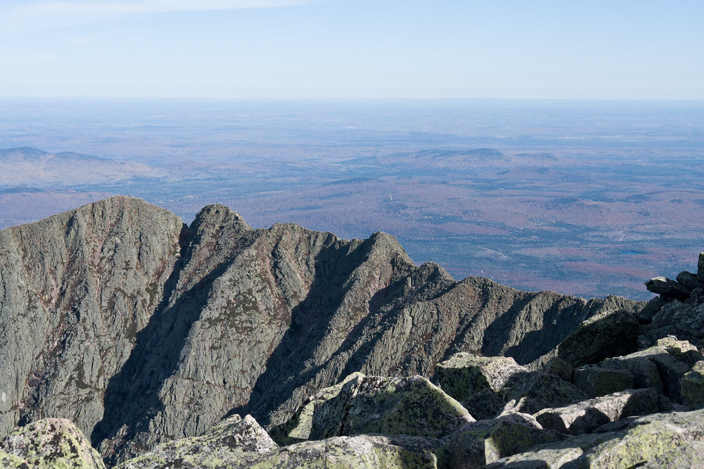 North Basin Cut-OffHiking · ~9 min drivePhoto: Pat Spinney, CC BY 2.0 (via Flickr)
- North Peaks TrailHiking · ~9 min drivePhoto: Pat Spinney, CC BY 2.0 (via Flickr)
 North Basin TrailHiking · ~9 min drivePhoto: davidwilson1949, CC BY 2.0 (via Flickr)
 Baxter Peak Cutoff TrailHiking · ~12 min drivePhoto: barry.pousman, CC BY 2.0 (via Flickr)
- Abol Slide TrailHiking · ~12 min drivePhoto: barry.pousman, CC BY 2.0 (via Flickr)
- Chimney Pond TrailHiking · ~10 min drivePhoto: Pat Spinney, CC BY 2.0 (via Flickr)
- Wassataquoik Stream TrailHiking · ~2 min drive
- Wassataquoik Lake TrailHiking · Next door
 Dudley TrailHiking · ~10 min drivePhoto: davidwilson1949, CC BY 2.0 (via Flickr)
- Hamlin Peak Cut-OffHiking · ~9 min drive
Best time to visit Grand Falls Trail
Best months: May–September. Best months have typical highs of 55–85 °F, lows of 30 °F or warmer (32 °F where the station doesn't record snow), at most one snowy day and no more than 12 wet days.
Jan
22° / 3°
Feb
25° / 6°
Mar
34° / 16°
Apr
48° / 29°
May
62° / 40°
Jun
72° / 49°
Jul
76° / 55°
Aug
75° / 54°
Sep
67° / 45°
Oct
53° / 35°
Nov
41° / 25°
Dec
29° / 13°
Typical high / low (°F) and days with rain or snow, 1991–2020. Measured at Patten 2, ME, 19.7 mi away at 820 ft. The station sits about 600 ft lower than this place, so expect it a little cooler here. This station doesn't record snowfall. Source: NOAA NCEI U.S. Climate Normals 1991–2020.
Map and trail data © OpenStreetMap contributors
