Macarte Ridge
- 11.9 mi
- round trip
- 11,289 ft
- climb
- 9,236 ft
- high point
- Out and back
- route
Is Macarte Ridge open right now?
Alert in the area
The Forest Service lists an alert for Salmon-Challis National Forest.
Stoddard Bridge Construction Closure
Agency alert covering Salmon-Challis National Forest · Order 0413-07-17 · USFS · Salmon-Challis National Forest
As of · Source: USFS · Salmon-Challis National Forest. Agencies don't list every closure — check before you go.
Macarte Ridge is a hard out-and-back hike in Idaho's Frank Church-River of No Return Wilderness, on the Middle Fork Ranger District of the Salmon-Challis National Forest. The trail is managed by the Forest Service and runs about 11.9 miles, with a total elevation gain of 11,289 feet. The high point is 9,236 feet, and the route starts at nearly the same elevation, 9,233 feet, so the climb is roughly split between the ascent and the descent. The trail is natural-surface and allows horses, but not bikes. The steepest stretch comes at about 4.7 miles, where the grade reaches 51 percent. The trip is estimated to take about 9.5 hours, and the trail is open year-round. Several other hikes sit close by. Grouse Creek is about 0.6 miles away, and Woodtick Cutoff is about 1.5 miles off. W Fk Camas Creek and Woodtick Creek are both within about 2.4 miles.
Local outfitters
- The Sawmill Station42 mi away
Not on Roamze yet. Their page has how to reach them.
- Grouse CreekHiking0.6 mi
- WOODTICK CUTOFFHiking1.5 mi
- W Fk Camas CreekHiking2.2 mi
- Woodtick CreekHiking2.4 mi
- Cove CreekHiking2.9 mi
- Melville RidgeHiking5 mi
- Sleeping Deer LoHiking5 mi
- Camas CreekCanoeing8 mi
Source: Roamze catalog (indexable pages within 10 miles, PostGIS distance)
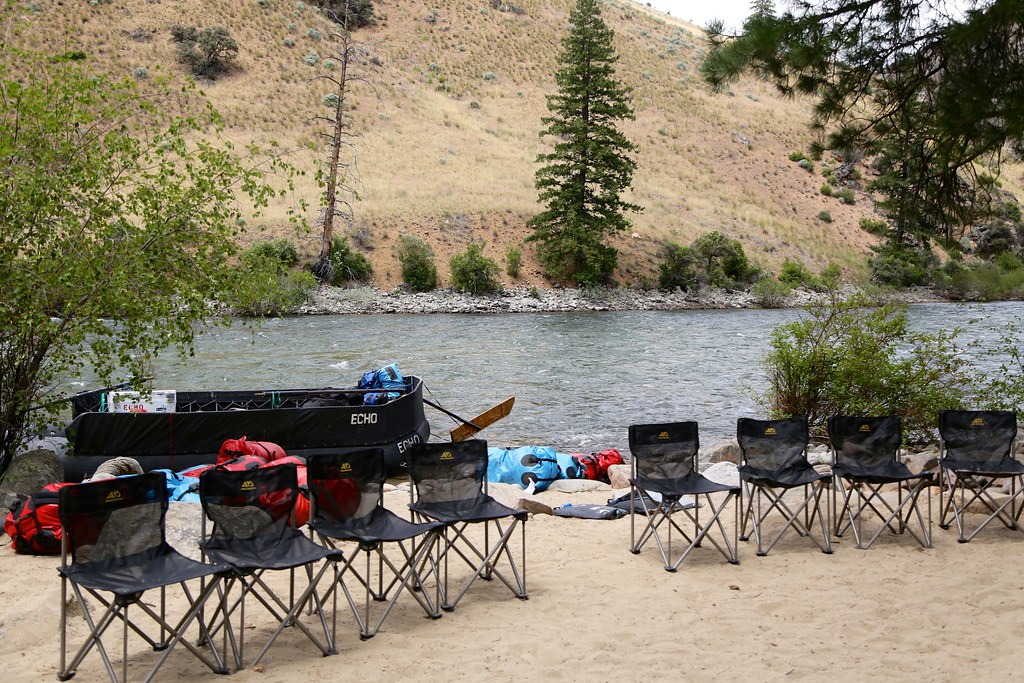 Bear Creek Pt.Hiking · ~13 min drivePhoto: Northwest Rafting Company, CC BY 2.0 (via Flickr)
- Melville RidgeHiking · ~9 min drive
- Sleeping Deer LoHiking · ~9 min drive
- Middle Fork TrailHiking · ~11 min drive
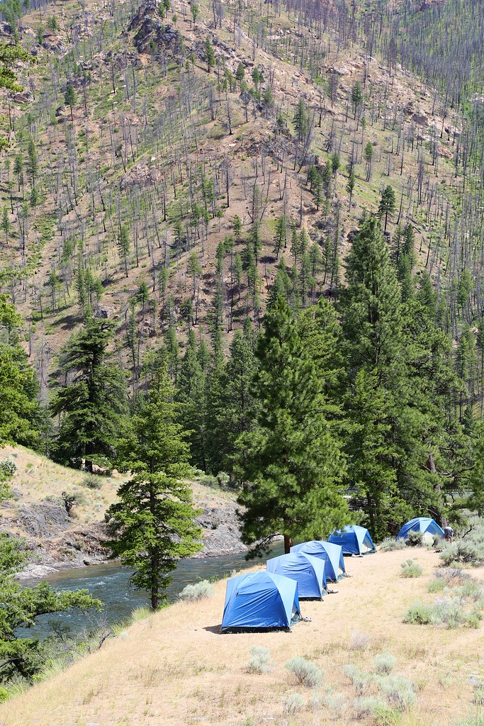 White CreekHiking · ~15 min drivePhoto: Northwest Rafting Company, CC BY 2.0 (via Flickr)
- Middle Fork TrailHiking · ~14 min drive
- Rock LakeHiking · ~9 min drive
- Middle Fork TrailHiking · ~14 min drive
- Grouse CreekHiking · Next door
- Brush Cr-Sheep CrHiking · ~15 min drive
